
日本四国南岸土佐浦戸港高知=Japan Shikoku, south coast, Urado Harbour and Kōchi
- Time
- Owner Organization

日本本州南岸志摩的矢港 = Japan, Honshū-south coast, Matoya Harbour
Yoshida-South Library, Kyoto University
IIIF Discovery in Japan

日本本州南岸東京海湾浦賀港 = Japan Honshū, south coast Tōkio gulf Uraga harbour
Yoshida-South Library, Kyoto University
IIIF Discovery in Japan

日本九州西岸肥前長崎港 = Japan Kiushū, west coast, Nagasaki Harbour
Yoshida-South Library, Kyoto University
IIIF Discovery in Japan

日本九州西岸肥後三角港 = Japan Kiūshū, west coast, Misumi Harbour
Yoshida-South Library, Kyoto University
IIIF Discovery in Japan

日本本州北西岸伯耆境港 = Japan, Honshū-north west coast, Sakai Harbour
Yoshida-South Library, Kyoto University
IIIF Discovery in Japan

日本本州北西岸若狭小濱港 = Japan Honshū, north west coast, Ohama Harbour
Yoshida-South Library, Kyoto University
IIIF Discovery in Japan

絵葉書「土佐高知名勝」土佐浦戸港口(其二)
Fukuoka City Museum
Fukuoka City Museum Collection Database

絵葉書「土佐高知名勝」土佐浦戸港内狭島
Fukuoka City Museum
Fukuoka City Museum Collection Database

Asia, Japan--South Korea, Korea Strait to Tōkyō-Wan, including Shikoku and Kyūshū [electronic reso...
Stanford University Libraries
Stanford Libraries SearchWorks

浦戸港 土佐浦戸港出帆の浦戸丸 The Uradomaru,O.S.K.
Kochi Prefectural Library
OTEPIA Kochi Library collection search

Japan : South coast of Honshu : Gulf of Tokyo or Yedo. Compiled from Japanese Government, and Brit...
Stanford University Libraries
Stanford Libraries SearchWorks

日本北州西岸後志小樽港 = Japan Hokusyū, west coast, Shiribeshi, Otaru Kō
Yoshida-South Library, Kyoto University
IIIF Discovery in Japan

絵葉書「土佐高知名勝」舶船岸(土佐汲江)
Fukuoka City Museum
Fukuoka City Museum Collection Database

Ise Bay - North :
Yale University Library
Yale University Library Digital Collections

日本本州北西岸岩瀬及伏木錨地 = Iwase and Fushiki Anchorages at n. w. coast of Honshū-Japan
Yoshida-South Library, Kyoto University
IIIF Discovery in Japan

土佐百景美人競 第二 高知公園新道開鑿浦戸港浚渫起工式概況
Kochi Prefectural Library
OTEPIA Kochi Library collection search

日本四国西岸伊豫宇和島湾 = Japan Shikoku, west coast Uwajima Bay surveyed by Lieut.ts S. Aoki, S.Yoshida, I. J. N. 8.th Year of Meiji, (1875), The Parts west of Ōra Zaki and Mizuga Ura enlarged from the survey of Comm.r K. Kimotski, I. J. N
Yoshida-South Library, Kyoto University
IIIF Discovery in Japan

「大正九年度國分川南岸水害豫防組合費現金出納簿」 高知縣土佐郡布師田村役場
Kochi Prefectural Library
OTEPIA Kochi Library collection search

「大正拾壹年度國分川南岸水害豫防組合費現金出納簿」 高知縣土佐郡布師田村役場
Kochi Prefectural Library
OTEPIA Kochi Library collection search

波高し高知航路 : 下船続出、大阪高知両港混乱 : 会社側要求を峻拒 : 土佐商船争議
神戸大学附属図書館
Kobe University Library Digital Archive Newspaper Clippings Collection

日本本州北西岸能登七尾湾= Japan Honshū, N. W. coast, Nanao Bay : north bay from survey of Lieutt. K. Kimotski, I. J. N. 12th. Year of Meiji (1879), South Bay, West Bay and the Soundings at outer part of the Bays from survey of commr. K. Isono
Yoshida-South Library, Kyoto University
IIIF Discovery in Japan
「武田信武」「高土佐守」「三浦介」「小田時知」「佐竹上総介」「宇佐美三郎」「有馬出羽守」「大友氏時」「伊東大和守」「吉良左京大夫」「山名伊豆守」「今川上総介」
RHAM
ARC Ukiyo-e Portal Database

中之島線(市電)を廃止 : 堂島川沿いを快い遊歩道に : 代りに土佐堀南線を新設 : 梅田−築港間明春から短縮
神戸大学附属図書館
Kobe University Library Digital Archive Newspaper Clippings Collection

喜久田村全略図
Koriyama City Library
ADEAC: A System of Digitalization and Exhibition for Archive Collections
![Japan [cartographic material] : railroads and railroad facilities](https://stacks.stanford.edu/image/iiif/yv242dj2410%2Fyv242dj2410_00_0001/full/!200,200/0/default.jpg)
Japan [cartographic material] : railroads and railroad facilities
Stanford University Libraries
Stanford Libraries SearchWorks
<i>Map of Eastern China</i>
Kyushu National Museum
Integrated Collections Database of the National Museums, Japan
Tajimanokunizu
Geospatial Information Authority of Japan
FishPix

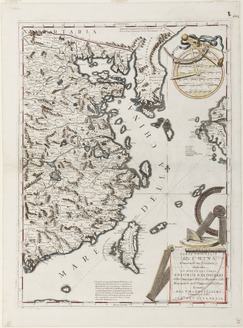
Greece in the fifth century B.C
Yoshida-South Library, Kyoto University
IIIF Discovery in Japan

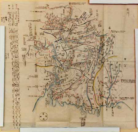
岐阜県管内図
Takayamashi Kyoiku Iinkai
ADEAC: A System of Digitalization and Exhibition for Archive Collections
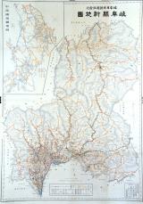
岐阜県新地図
Takayamashi Kyoiku Iinkai
ADEAC: A System of Digitalization and Exhibition for Archive Collections

Nagasaki harbor
Stanford University Libraries
Stanford Libraries SearchWorks

第一武蔵湾
Funabashi-shi Western Library
ADEAC: A System of Digitalization and Exhibition for Archive Collections
Last Updated: 2020-04-16
Uploaded: 2021-07-27