
岐阜県管内実測新地図 : 岐阜県管内図
Iwase Bunko Libray
ADEAC: A System of Digitalization and Exhibition for Archive Collections

岐阜県岐阜市
NHK Archives
Michi-shiru: Japan Seasonal Journey

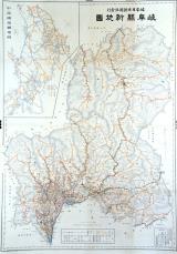
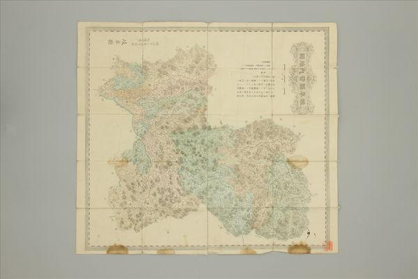
岐阜県管内図
Takayamashi Kyoiku Iinkai
ADEAC: A System of Digitalization and Exhibition for Archive Collections

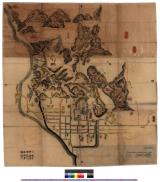
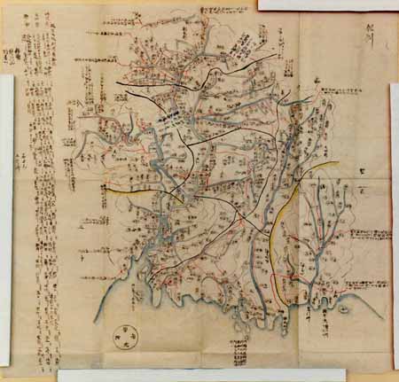
岐阜古図 : 岐阜古図
Iwase Bunko Libray
ADEAC: A System of Digitalization and Exhibition for Archive Collections
濃州岐阜図 : 岐阜図
Iwase Bunko Libray
ADEAC: A System of Digitalization and Exhibition for Archive Collections

岐阜県土岐市
NHK Archives
Michi-shiru: Japan Seasonal Journey
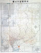
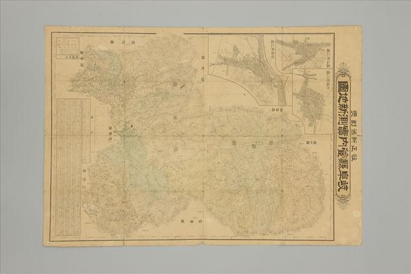
岐阜県管内全図
Takayamashi Kyoiku Iinkai
ADEAC: A System of Digitalization and Exhibition for Archive Collections
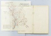
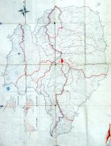
岐阜県郡上郡図
郡上市歴史資料館
ADEAC: A System of Digitalization and Exhibition for Archive Collections

岐阜県山県市
NHK Archives
Michi-shiru: Japan Seasonal Journey

岐阜県関市
NHK Archives
Michi-shiru: Japan Seasonal Journey
岐阜県紀要
Sekigahara Town History and Folklore Museum
Sekigahara Collection Database

岐阜県主要観光地案内図
国際日本文化研究センター
IIIF Discovery in Japan
改正新旧対照 岐阜県管内実測新地図
Sekigahara Town History and Folklore Museum
Sekigahara Collection Database
岐阜県飛騨国全図
Takayamashi Kyoiku Iinkai
ADEAC: A System of Digitalization and Exhibition for Archive Collections
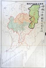
最新中部三県大地図(愛知・岐阜・三重)
Sekigahara Town History and Folklore Museum
Sekigahara Collection Database

岐阜県の地方改良策
神戸大学附属図書館
Kobe University Library Digital Archive Newspaper Clippings Collection
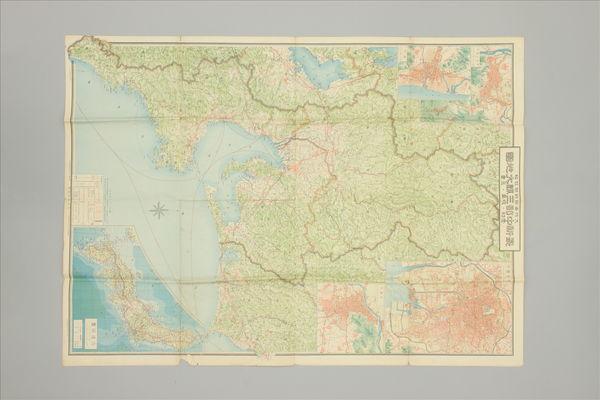
岐阜県管内地図 二十万分一
Sekigahara Town History and Folklore Museum
Sekigahara Collection Database
岐阜県愛知県大地震実況
University of Tokyo General Library
UTokyo Academic Archives Portal
岐阜県愛知県大地震実況
University of Tokyo General Library
UTokyo Academic Archives Portal
岐阜県産業史
Sekigahara Town History and Folklore Museum
Sekigahara Collection Database
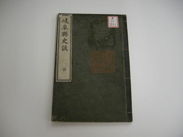
岐阜県史談 全
Sekigahara Town History and Folklore Museum
Sekigahara Collection Database

岐阜県の林業
神戸大学附属図書館
Kobe University Library Digital Archive Newspaper Clippings Collection

岐阜県視察 1
Digital Archive Fukui
Digital Archive Fukui

岐阜県大野町
NHK Archives
Michi-shiru: Japan Seasonal Journey

喜久田村全略図
Koriyama City Library
ADEAC: A System of Digitalization and Exhibition for Archive Collections
![Tokyo and vicinity, showing bombed-out areas [cartographic material]](https://stacks.stanford.edu/image/iiif/jx217xm7539%2Fjx217xm7539_00_0001/full/!200,200/0/default.jpg)
Tokyo and vicinity, showing bombed-out areas [cartographic material]
Stanford University Libraries
Stanford Libraries SearchWorks
岐阜県管内図
Takayamashi Kyoiku Iinkai
ADEAC: A System of Digitalization and Exhibition for Archive Collections
Tajimanokunizu
Geospatial Information Authority of Japan
FishPix
![Japan, Yamaguchi-ken [cartographic material]](https://stacks.stanford.edu/image/iiif/zc849tw9296%2Fzc849tw9296_00_0001/full/!200,200/0/default.jpg)
Japan, Yamaguchi-ken [cartographic material]
Stanford University Libraries
Stanford Libraries SearchWorks

日本本州北西岸能登七尾湾= Japan Honshū, N. W. coast, Nanao Bay : north bay from survey of Lieutt. K. Kimotski, I. J. N. 12th. Year of Meiji (1879), South Bay, West Bay and the Soundings at outer part of the Bays from survey of commr. K. Isono
Yoshida-South Library, Kyoto University
IIIF Discovery in Japan

Sangoingarten des Daigo-Tempels, Kyoto
Architekturmuseum der TU Berlin
Europeana API

Greece in the fifth century B.C
Yoshida-South Library, Kyoto University
IIIF Discovery in Japan
飛騨支庁管内地図(中部山岳国立公園区域図示 角竹記録)附 飛騨支庁管内里程表、各駅間粁数及三等運賃
Takayamashi Kyoiku Iinkai
ADEAC: A System of Digitalization and Exhibition for Archive Collections
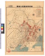
満洲開拓農民入植図 : 満洲開拓農民入植図
Iwase Bunko Libray
ADEAC: A System of Digitalization and Exhibition for Archive Collections

map from "Japan in Transition. A comparative study of the progress, policy, and methods of the Jap...
British Library
Europeana API
Kūchū shashin yōzu Sanman Gosen bun no ichi Bisumaruku Guntō (sheet 1)
National Library of Australia
Trove: National Library of Australia

Hyakumanbun no ichi Heiyō chiri chōsazu
Stanford University Libraries
Stanford Libraries SearchWorks
Last Updated: 2025-07-15
Uploaded: 2025-07-16