Japan (North) :
- Time
- Owner Organization
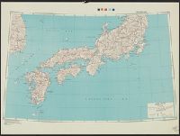
Japan (South) special strategic map / compiled by the Army Map Service
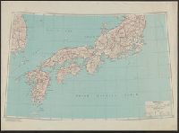
Japan (North) special strategic map / compiled by the Army Map Service
Kurile Islands special strategic map / compiled by the Army Map Service
Series ; 5207
Korea / prepared ... by the Army Map Service, U.S. Army
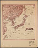
Japan / prepared by the Army Map Service, (GD) Corps of Engineers, U.S. Army
Formosa (Taiwan) 1:250,000 / prepared ... by the Army Map Service (cv) U.S. Army

Bartholomew's special Map of China, Japan and Korea

Special war map of China, Korea, and Japan

Bartholomew's Special Map of China, Japan and Korea

Target Tokyo. Newsmap. Prepared and Distributed by the Army Orientation Course. Special Service Di...

Stanford's library Map of Japan / principally compiled from japanese documents, by E. Knipping
Japan and adjacent regions / prepared and distributed by Army Information Branch, Army Service Forces

New railway map of Tokyo and vicinity. Published by Japan Guide Map Co., Ltd. Compiled and printed...

Map of China And the Surrounding Regions. Compiled from the latest information by E. Bretscheider....
East Asia and North Pacific 1:4,350,000 / prepared under the direction of the Chief of Engineers by the Army Map Service (AM) ; U.S. Army, Washington, D.C

Japan road map, 1:1,000,000 / prepared under the direction of the Chief of Engineers, U.S. Army by the Army ...
Map of Tokyo, featuring subway system. Copy rights by Creative Associates, Tokyo, Japan, (May 1975...
Relief map of Southern Japan : special airfield relief map / prepared and reproduced in the United States Department of the Interior Geological Survey

Special order of the day issued to all troops in the Mediterranean Theatre by Eisenhower, 8 November 1943
Court Exh. No. 882: Copies of map prepared and issued by the American Army Map Service showing mandated islands of Japan and their situation with respect to other countries
Hokkaido, Japan : Special airfield relief map / prepared and reproduced in the United States Department of the Interior Geological Survey
Map of Nanking, the Chinese southern capital, which is being attached by a Japanese army and is expected to ...

May 1904 Japan seconds army preoccupation Furanten, China, and is picture to breaking the iron bridge every place
Series ; 5207

Map of Japan
Iaponia Regnvm

Empire of Japan. (with) Nagasaki Harbour. Engraved by J. & C. Walker. Published under the superint...

Empire of Japan, Yedo ... Meaco. (insets) Nagasaki Harbour. Eastern Point of Yeso
Fragment textiel
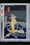
「夕涼花火賑」 「白玉売木毎 尾上菊五郎」

日本帝国鉱産図

Japan, motor roads and ports

Nieuwe Kaart van't Keizerryk. Japan na de Nieuste ontdekkingen

Japan. (with) Kurile Islands. Letts's popular atlas. Letts, Son & Co Limited, London. (1883)

Iaponia Regnum

「淀川八幡山勝景」
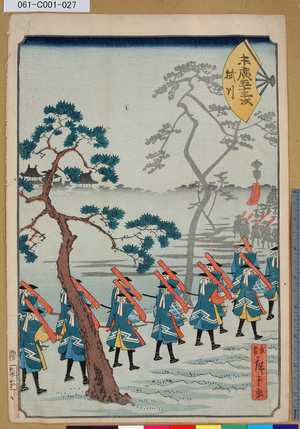
「末廣五十三次」「掛川」

Motor road network, Japan
Piece

Taiwan oyobi Rusontō. Hyakumanbun no ichi kōkūzu

「源氏十二ヶ月の内」 「孟冬」
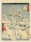
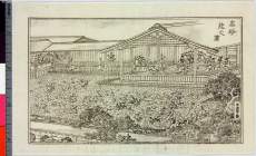
Edomeishoshijuuhakkei

A Map of the East-Indies and the Adjacent Countries; with the Settlements, Factories and Territori...
「高砂能之図」
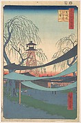
「名所江戸百景」 「馬喰町初音の馬場」
The First Race Course, Horse-Dealer's Street

China and Japan
Last Updated: 2021-01-30
Uploaded: 2021-07-29