AAF cloth chart ; no. C-52, C-53
- Time
- Owner Organization
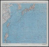
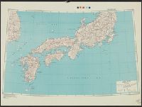
Japan and South China Seas / prepared at the direction of the commanding general, Army Air Forces, for the A...
Yale University Library
Yale University Library Digital Collections
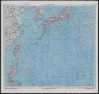
Japan and South China Seas / prepared at the direction of the commanding general, Army Air Forces, for the A...
Yale University Library
Yale University Library Digital Collections
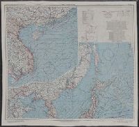
East China Sea
Yale University Library
Yale University Library Digital Collections

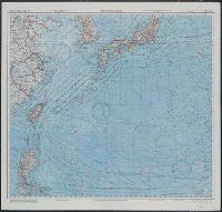
East China Sea
Yale University Library
Yale University Library Digital Collections

LEFT: Lieutenant-General George C. Kenny (left), commander of the Allied Air Forces in the South-west Pacifi...
Auckland Libraries
DigitalNZ New Zealand API
Series ; 5207
Yale University Library
Yale University Library Digital Collections

GENERAL KODAMA, COMMANDER OF THE JAPANESE LAND FORCES
Auckland Libraries
DigitalNZ New Zealand API
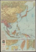
East Asia and North Pacific 1:4,350,000 / prepared under the direction of the Chief of Engineers by the Army Map Service (AM) ; U.S. Army, Washington, D.C
National Library of Australia
Trove: National Library of Australia
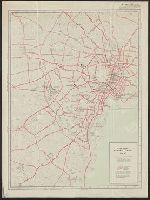
Central Japan 1:500,000 / prepared under the direction of the Engineer, U.S. Sixth Army, AFPAC, by the 650th Engineer TOP. BN., August 1945
National Library of Australia
Trove: National Library of Australia

Japan road map, 1:1,000,000 / prepared under the direction of the Chief of Engineers, U.S. Army by the Army ...
Yale University Library
Yale University Library Digital Collections
Handbook to the colony of Victoria / prepared under the direction of the Victorian Government by Henry Heylyn Hayter
National Library of Australia
Trove: National Library of Australia
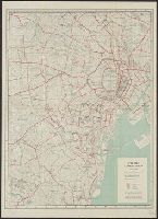
City map, central Tokyo. December 1946 / prepared under direction of the chief engineer, general headquarter...
Yale University Library
Yale University Library Digital Collections
The story of Japanese farming in California. Prepared under the direction of Emil T. H. Bunje. Ber...
University of California Libraries
Europeana API
The story of Japanese farming in California. Prepared under the direction of Emil T. H. Bunje. Ber...
University of California Libraries
Europeana API
City map, central Tokyo / prepared under the direction of the Engineer, GHQ, FEC ; by the 64th Engineer Base Topographic Battalion
National Library of Australia
Trove: National Library of Australia
Japan 1:500,000 / prepared under the direction of the Engineer, U.S. Sixth Army by the 69th EngineerTopo. Co., July 1945 ; reproduced by BMP no 1, GHQ. AFPAC, U.S. Army
National Library of Australia
Trove: National Library of Australia
City map, central Tokyo. October 1947 / prepared under direction of the chief engineer, GHQ, FEC, byt the 64...
Yale University Library
Yale University Library Digital Collections

WAR CLOUD IN THE EAST: GENERAL KODAMA, THE NEWLY APPOINTED COMMANDER OF THE JAPANESE LAND FORCES
Auckland Libraries
DigitalNZ New Zealand API
City map, central Tokyo / prepared under the direction of Office of the Engineer, HQ, AFFE, by the 64th Engineer Battalion (Base Topographic)
National Library of Australia
Trove: National Library of Australia
Signing the surrender of the Japanese South-east Army. At top, Admiral Jin-Ichi Kusaka, commander of the Jap...
National Library of New Zealand
DigitalNZ New Zealand API
Yokohama city map : corrected to May 1954 / prepared under the direction of Office of the Engineer, AFFE, by the 29th Engineer Battalion (Base Topographic)
National Library of Australia
Trove: National Library of Australia

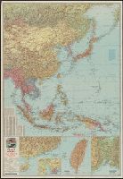
General map of China and adjacent regions showing treaty ports and railroads / prepared for the Department o...
Yale University Library
Yale University Library Digital Collections

JAPAN MOVES SOUTHWARD IN THE FAR EAST: FRENCH TERRITORY OF INDO-CHINA OCCUPIED BY LAND AND AIR FORCES
Auckland Libraries
DigitalNZ New Zealand API
Caroline Islands 1:25,000 : Yap / prepared under the direction of Engineer, Hq AFFE/BA, by the Military Geology Branch, Intelligence Division ; map compiled by C. G. Johnson, geologist, Military Geology Branch, U.S. Geological Survey, for the Intelligence Division, Office of the Engineer, Hq. U.S. Army Japan
National Library of Australia
Trove: National Library of Australia
East China Sea
Yale University Library
Yale University Library Digital Collections
East China Sea
Yale University Library
Yale University Library Digital Collections
Japan and South China Seas / prepared at the direction of the commanding general, Army Air Forces, for the A...
Yale University Library
Yale University Library Digital Collections
![Japan and adjacent regions of Asia and the Pacific Ocean [cartographic material] / compiled and drawn in the...](https://collections.library.yale.edu/iiif/2/15510875/full/!200,200/0/default.jpg)
Japan and adjacent regions of Asia and the Pacific Ocean [cartographic material] / compiled and drawn in the...
Yale University Library
Yale University Library Digital Collections
![Japan and adjacent regions of Asia and the Pacific Ocean [cartographic material] / compiled and drawn in the...](https://collections.library.yale.edu/iiif/2/15509964/full/!200,200/0/default.jpg)
Japan and adjacent regions of Asia and the Pacific Ocean [cartographic material] / compiled and drawn in the...
Yale University Library
Yale University Library Digital Collections

China and Japan
Stanford University Libraries
Stanford Libraries SearchWorks
Esso war map III featuring the Pacific Theater : a third war map / edited, drafted and printed by the makers...
Yale University Library
Yale University Library Digital Collections

Japan and Korea / compiled and drawn in the Cartographic Section of the National Geographic Society ; James ...
Yale University Library
Yale University Library Digital Collections
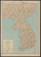
Japan road map 1:1,000,000. sheet 4, Korea / prepared under the direction of the Chief of Engineers, U.S. Ar...
Yale University Library
Yale University Library Digital Collections
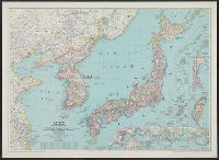
Japan and Korea / compiled and drawn in the Cartographic Section of the National Geographic Society ; James ...
Yale University Library
Yale University Library Digital Collections

Russisch-japanischer Kriegsschauplatz. Karte II, Süd-Mandschurei, Korea, Nordost-China
Stanford University Libraries
Stanford Libraries SearchWorks

Mandchourie et Coree de Kharbine a Seoul de Port-Arthur a Vladivostok Traduction de la Carte d'Eta...
Stanford University Libraries
Stanford Libraries SearchWorks

The New War Map of Maryland Part of Virginia & Pennsylvania. Published by B.B. Russell . .
Stanford University Libraries
Stanford Libraries SearchWorks

「六十余州名所図会」 「大和」「立田山(たつたやま)龍田川(たつたがわ)」
Museum of Fine Arts, Boston
ARC Ukiyo-e Portal Database

Hyakumanbunnoichi zu
Stanford University Libraries
Stanford Libraries SearchWorks

Mandchourie Corée, Japon et côtes orientales de la chine d'après les documents russes, japonais et...
Bibliothèque nationale de France
Europeana API
War map III featuring the Pacific Theater
Yale University Library
Yale University Library Digital Collections

U.S.S.R. - Far East, Korea, Japan. Pergamon World Atlas. Pergamon Press, Ltd. & P.W.N. Poland 1967...
Stanford University Libraries
Stanford Libraries SearchWorks

The Japanese empire : with central and southern Manchukuo (Manchuria)
Yale University Library
Yale University Library Digital Collections

Rand, McNally & Co.'s 1904 war map of Russia and the continent of Asia
Yale University Library
Yale University Library Digital Collections
Japan and adjacent regions of Asia and the Pacific Ocean / compiled and drawn in the Cartographic Section of the National Geographic Society
National Library of Australia
Trove: National Library of Australia
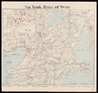
Nara, Yamada, Koyasan, & environs
Yale University Library
Yale University Library Digital Collections

China (Ostl. Theil), Korea Und Japan Im Maassstabe Von 1:7.500.000. Von A Petermann. Bearbeitet vo...
Stanford University Libraries
Stanford Libraries SearchWorks
![Nihyakugojūmanbun no ichi Tōbu Chūbu "So" ryō yochizu [cartographic material]](https://stacks.stanford.edu/image/iiif/nb222jb7845%2Fnb222jb7845_00_0001/full/!200,200/0/default.jpg)
Nihyakugojūmanbun no ichi Tōbu Chūbu "So" ryō yochizu [cartographic material]
Stanford University Libraries
Stanford Libraries SearchWorks
Last Updated: 2021-01-30
Uploaded: 2021-07-29