![[Plan of Tianjin, China with Foreign Concessions] Tianjin di tu / Map of Tientsin](https://stacks.stanford.edu/image/iiif/vt775gn2391%2F36094/full/!200,200/0/default.jpg)
[Plan of Tianjin, China with Foreign Concessions] Tianjin di tu / Map of Tientsin
- People
- Time
- Owner Organization
![[Map of China]](https://collections.library.yale.edu/iiif/2/16189150/full/!200,200/0/default.jpg)
[Map of China]
Yale University Library
Yale University Library Digital Collections
1 centime Flags of the 12 nations with concessions in Shanghai
Gabinet Postal Museum of Barcelona (Col·lecció Marull)
Europeana API

Bartholomew's special Map of China, Japan and Korea
Bibliothèque nationale de France
Europeana API

Special war map of China, Korea, and Japan
Stanford University Libraries
Stanford Libraries SearchWorks

Bartholomew's Special Map of China, Japan and Korea
Bibliothèque nationale de France
Europeana API
Stanford's map of the empires of China and Japan : with the adjacent parts of the Russian Empire, ...
VU University Amsterdam Library
Europeana API

Geographical and Statistical Map of China. China and the Tributary Kingdom of Corea. For the Eluci...
Stanford University Libraries
Stanford Libraries SearchWorks
![[Russian Map of Northeastern Asia, Japan, Korea, China, Alaska, etc.] ( Summary map of hydrographi...](https://stacks.stanford.edu/image/iiif/pj697kr2558%2F35405/full/!200,200/0/default.jpg)
[Russian Map of Northeastern Asia, Japan, Korea, China, Alaska, etc.] ( Summary map of hydrographi...
Stanford University Libraries
Stanford Libraries SearchWorks
Map of Foreign Ships (Perry Expedition) in Edo Bay
Harvard Art Museums
Harvard Art Museums API

Ministers of foreign powers during negotiations with China - leaving Spanish Legation after a sitting, Peking, China
Library of Congress
Digital Collections, Library of Congress

Japanese doctors attending their wounded after the Battle of Tientsin, China
Library of Congress
Digital Collections, Library of Congress

Japanese doctors attending their wounded after the Battle of Tientsin, China
Library of Congress
Digital Collections, Library of Congress

Stanford's map of China and Japan with the adjacents parts of the Russian Rebubcs., India, Burma &...
Stanford University Libraries
Stanford Libraries SearchWorks
![[Chinese Text with Image of a Map of the World]](https://api.europeana.eu/api/v2/thumbnail-by-url.json?uri=http%3A%2F%2Fmedia.iwm.org.uk%2Fiwm%2FmediaLib%2F191%2Fmedia-191923%2Flarge.jpg&type=IMAGE)
[Chinese Text with Image of a Map of the World]
Imperial War Museum
Europeana API

Picture map of China. Designed by Frank Randolph Southard. Printed in United States of America. (C...
Stanford University Libraries
Stanford Libraries SearchWorks

Picture map of China. Designed by Frank Randolph Southard. Printed in United States of America. (C...
Stanford University Libraries
Stanford Libraries SearchWorks

(Composite Map of) Map of the Island of Japan, Kurile &c. with the Adjacent Coasts of the Chinese ...
Stanford University Libraries
Stanford Libraries SearchWorks

A New Map of India & China From the latest Observations
Stanford University Libraries
Stanford Libraries SearchWorks

(Covers to) Picture map of China. Designed by Frank Randolph Southard. Printed in United States of...
Stanford University Libraries
Stanford Libraries SearchWorks

map from "Yedo and Peking. A narrative of a journey to the capitals of Japan and China. With notic...
British Library
Europeana API

map from "Yedo and Peking. A narrative of a journey to the capitals of Japan and China. With notic...
British Library
Europeana API

New map of Shanghai. (on verso) A map of China : Published by K. Saito. Osaka Japan Sole agent T. ...
Stanford University Libraries
Stanford Libraries SearchWorks

1904 war map of Japan, Korea, and China
Yale University Library
Yale University Library Digital Collections

1904 war map of Russia and the continent of Asia
Yale University Library
Yale University Library Digital Collections

The Empire of China and Island of Japan, Agreeable to Modern History
Stanford University Libraries
Stanford Libraries SearchWorks

Sanno Festival (Sanno matsuri), from vol. 1 of the illustrated book "Fine Views of the Eastern Capital at a Glance (Toto shokei ichiran)"
Art Institute of Chicago
Art Institute of Chicago API
「江戸廼花名勝會」 「二番組」「せ」「中ばし」「古法眼元信 坂東三津五郎」
Tokyo Metropolitan Central Library
ARC Ukiyo-e Portal Database
Thrush, Pea Flowers and Rape Blossoms (Tsugumi Endō Nanohana), series Forty-eight Lifelike Pictures of Birds
Honolulu Museum of Art
Honolulu Museum of Art Collection

「三月 飛鳥山花見」
Library of Congress
ARC Ukiyo-e Portal Database

Yabase Kihan (Object)
British Museum
British Museum Collection
「三十六花撰」「東京谷中天王寺あさぎ桜」 「七」
Tokyo Metropolitan Central Library
ARC Ukiyo-e Portal Database

Sannoumatsuri
Art Institute of Chicago
ARC Ukiyo-e Portal Database
「俤げんじ五十四帖」 「四十五 橋姫」
Tokyo Metropolitan Central Library
ARC Ukiyo-e Portal Database
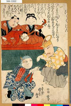
「つく/\けん」
Tokyo Metropolitan Central Library
ARC Ukiyo-e Portal Database
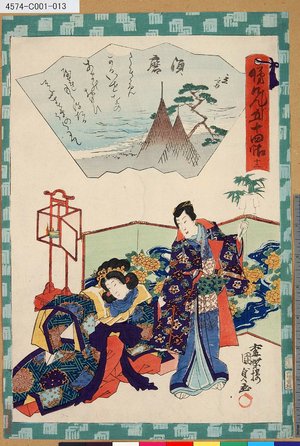
「俤けんじ五十四帖」 「十二 須磨」
Tokyo Metropolitan Central Library
ARC Ukiyo-e Portal Database

Courtiers and attendants crossing bridge from 36 immortal women poets in printed brocades (Nishikizuri onna sanjūrokkasen)
The Chester Beatty Library
Chester Beatty's Digital Collections

Fujieda, from the series "Fifty-three Stations of the Tokaido (Tokaido gojusan tsugi)"
Art Institute of Chicago
Art Institute of Chicago API

Kiyohara no Motosuke (no. 42) (Object); Hyakunin isshu no uchi (Series)
British Museum
British Museum Collection

Yoshitoshi mushaburui
Pushkin Museum of Fine Arts
Database of Japanese Art in Overseas Collections
Kokonkaikanosakigakebunmeigasutoudai、yozakuranokyuukyou、sakuraieki nankoumukashigatari
Art Research Center, Ritsumeikan University
ARC Ukiyo-e Portal Database

"Nu": Crossing Tatsuta, from the series "Tales of Ise in Fashionable Brocade Pictures (Furyu nishiki-e Ise monogatari)"
Art Institute of Chicago
Art Institute of Chicago API
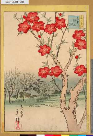
「三十六花撰」「東都越谷桃」 「四」
Tokyo Metropolitan Central Library
ARC Ukiyo-e Portal Database

British Museum
British Museum Collection

Hakone, from the series "Fifty-three Stations of the Tokaido (Tokaido gojusan tsugi)"
Art Institute of Chicago
Art Institute of Chicago API

No 46, Shono ; Tokaido gojusan-tsugi (Series)
British Museum
British Museum Collection

Tsuchiyama, from the series "Fifty-three Stations of the Tokaido (Tokaido gojusan tsugi)"
Art Institute of Chicago
Art Institute of Chicago API
Omokagegenjigojuuyonjou、fujibakama
Nationaal Museum van Wereldculturen (Rijksmuseum Volkenkunde, Leiden)
ARC Ukiyo-e Portal Database
Kabuki Actors Arashi Ryūzō II and Segawa Kikunojō III
Metropolitan Museum of Art
The Metropolitan Museum of Art Open Access CSV
Last Updated: 2020-04-17
Uploaded: 2021-09-21