
Australia : Coral Sea and Great Barrier Reefs. Sheet 2
- Time
- Owner Organization
![Muddy waters [electronic resource] : life and death on the Great Barrier Reef](https://www.gumtree.com/static/1/resources/assets/rwd/images/orphans/a37b37d99e7cef805f354d47.noimage_thumbnail.png)
Muddy waters [electronic resource] : life and death on the Great Barrier Reef
East Asia and North Pacific 1:4,350,000: South China Sea (Sheet 6)
Invading Australia : Japan and the battle for Australia, 1942 / Peter Stanley
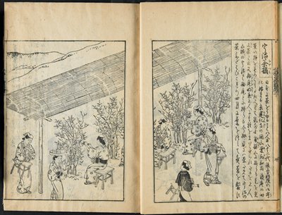
Famous Products from Mountain and Sea vol. 2

AMERICAN AND JAPANESE AIRCRAFT-CARRIERS SUNK: DRAMATIC PICTURE FROM THE BATTLE OF THE CORAL SEA
Solomon Islnad Operation and Battle of Coral Sea, Serial No. 53. Report No. 2-s, USSBS Index Section 8
Solomon Island Operation and Battle of Coral Sea, Serial No. 53. Report No. 2-t, USSBS Index Section 8
Kijima: Cape Esperance and Coral Sea Battles, Komura: Santa Cruz and Midway Battles, Serial No. 464. Report No. 2-t, USSBS Index Section 8
Kijima: Cape Esperance and Coral Sea Battles. Komura: Santa Cruz and Midway Battles, Serial No. 464. Report No. 2-s, USSBS Index Section 8
Kijima: Cape Esperance and Coral Sea Battles. Komura: Santa Cruz and Midway Battles, Serial No. 464. Report No. 2-s, USSBS Index Section 8
![Blue Sheet and Yellow Flowers [right of a pair]](https://2.api.artsmia.org/118686.jpg)
Blue Sheet and Yellow Flowers [right of a pair]
![Blue Sheet and Yellow Flowers [left of a pair]](https://2.api.artsmia.org/117114.jpg)
Blue Sheet and Yellow Flowers [left of a pair]
Coral Sea Battle, 7 - 8 May 1942, Serial No. 46. Report No. 2-s, USSBS Index Section 8
Coral Sea Battle, 7 - 8 May 1942, Serial No. 46. Report No. 2-s, USSBS Index Section 8
Coral Sea Battle, 7-8 May 1942, Serial No. 46. Report No. 2-t, USSBS Index Section 8
Index to Admiralty charts of Nakai or Inland Sea, Korea Strait, Okhotsk Sea, Kamchatka and Peter the Great Bay / Hydrographic Office
Notes and target location sheet. Report No. 41ll(2), USSBS Index Section 2

Naval battle between the Minamoto and Taira Clans (right hand sheet of Triad)
Great Illustrated Encyclopedia, Revised and Enlarged (Sōbo tōsho kinmō zui taisei), vols. 2-10
Aichi Clock and Electric Company, Ltd.: Notes and work sheet. Report No. 94e(2)(a), USSBS Index Section 2
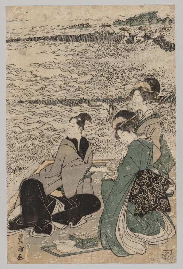
Man and Two Women at the Sea Shore
Cup And Saucer (2)
Line And Float (2)
Great Illustrated Encyclopedia, Revised and Enlarged (Sōbo tōsho kinmō zui taisei), vol. 2

Peleng Strait to Tomori Gulf

Carta General Para Las Navegaciones a la India Oriental Por El Mar Del Sur Y el grande Oceano que ...

Approach to West Coast of Gazelle Peninsula

Ryōtō Kaiwan : Daitzu Shan to Fuchou Chao

Western Portions of Flores

Chart of Discoveries made in 1787, in the Seas of China and Tartary, by the Boussole and Astrolabe...

Straits between Sumbawa, Flores and Sumba

Eastern Portion of Flores to Lomblem

Ryukyu Islands roads, railroads and cables

Hermit Islands

Durville Island and Approaches

Central Portion of Sumbawa with Pulo Tenga Islands
Chart of Japanese islands and surrounding seas

Carte des decouvertes, faites en 1787 dans les mers de Chine et de Tartarie par les Fregates Franc...

New Guinea - South Coast. Freshwater Bay to C. Blackwood

(Composite of) Carta General Para Las Navegaciones a la India Oriental Por El Mar Del Sur Y el gra...

Togian Isles to Peleng Strait

Salayar Strait to Tana Keke I.

Carta General Para Las Navegaciones a la India Oriental Por El Mar Del Sur Y el grande Oceano que ...
Carta General Para Las Navegaciones a la India Oriental Por El Mar Del Sur Y el grande Oceano que ...
![East India Archipelago [Eastern Passages to China and Japan] [Chart No. 2] . . . 1868 (North Austr...](https://stacks.stanford.edu/image/iiif/hf333br4460%2F34582/full/!200,200/0/default.jpg)
East India Archipelago [Eastern Passages to China and Japan] [Chart No. 2] . . . 1868 (North Austr...

North Pacific Ocean : Eastern Part of Hawaiin Islands
![Japan [cartographic material] : Kyushu north coast](https://stacks.stanford.edu/image/iiif/gy001xy3796%2Fgy001xy3796_00_0001/full/!200,200/0/default.jpg)
Japan [cartographic material] : Kyushu north coast
![[Palembang and Bangka Island, Indonesia] Het Eiland Banka. 1819 [and] De Rivier van Palembang. 1821](https://stacks.stanford.edu/image/iiif/vz793zp5933%2F36200/full/!200,200/0/default.jpg)
[Palembang and Bangka Island, Indonesia] Het Eiland Banka. 1819 [and] De Rivier van Palembang. 1821
Last Updated: 2020-04-17
Uploaded: 2021-09-21