


Dai Nippon Teikoku zenzu

Lloyd's Official Map of the State of Tennessee Compiled From Actual Sureys and Official Documents ...

「祇園会十四日浮橋館幸之図」

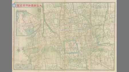
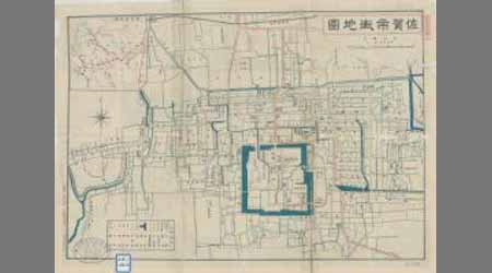
Nijūmanbun no ichi Chishizu

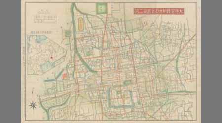
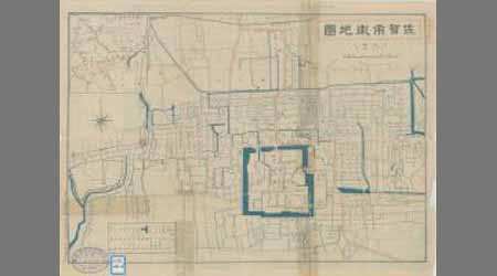
神埼二万分ノ一
Japan and adjacent regions of Asia and the Pacific Ocean / compiled and drawn in the Cartographic Section of the National Geographic Society
Craigie's map of South Australia showing towns, roads & railways / compiled, drawn & published by Kenneth Craigie & Co
ehonkaikasen

Tabula Tartariae et majoris partis regni Chinae / edita a F. de Wit ; Lhuilier fecit

Nagasaki
「(八代目市川団十郎)」

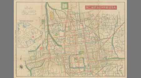
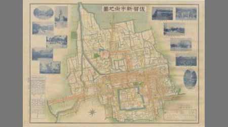
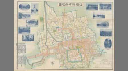
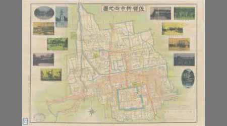
佐賀近傍之圖 第三号
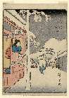
「(人物東海道)五十三次」 「水口(みなくち)」

「六十余州名所図会」 「大和」「立田山(たつたやま)龍田川(たつたがわ)」

Asia

Shinpan irozuri Kai no Kuni ezu : zen

Carte Generale De La Tartarie Chinoise Dressee sur les Cartes Particulieres Faits Sur Les Lieux Pa...
![[増補京絵図道法付]](https://lapis.nichibun.ac.jp/image?did=6&pic=2&fid=10-44_01_01.jpg)
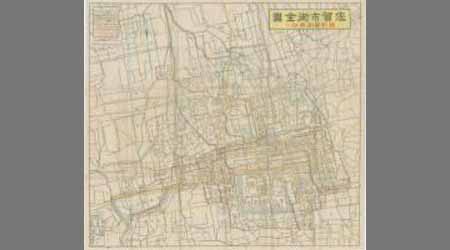
[増補京絵図道法付]
Pacific Ocean / compiled and drawn in the Cartographic Section of the National Geographic Society for the National geographic magazine ; Gilbert Grosvenor, editor ; Albert H. Bumstead, chief cartographer ; culture by James M. Darley ; physiography by Charles E. Riddiford
Imperii Sinarum nova descriptio [prepared by Martino Martini]

L'Empire de la Chine avec les isles du Japon. A Paris, ches Lattre, rue St. Jacq. (ca. 1800)

Hyakumanbun no ichi Nanpō kōkūzu
Theater of war in the Pacific Ocean / compiled and drawn in the Cartographic Section of the National Geographic Society for the National Geographic Magazine

Asia According to the best Authorities
Last Updated: 2020-04-16
Uploaded: 2021-07-27