
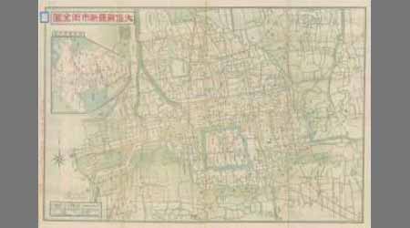


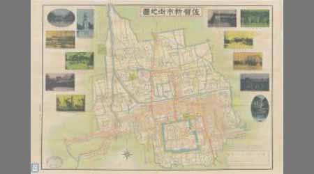


大佐賀最新市街全図

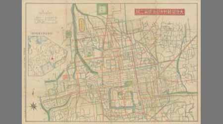
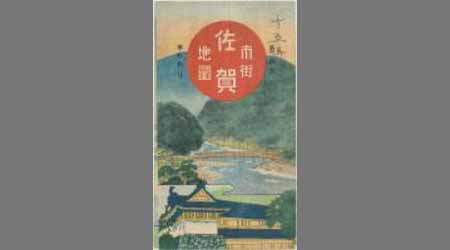
佐賀市街全図 最新実測番地入(表)

大日本職業別明細図之内 唐津市

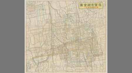
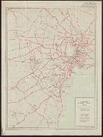
佐賀県管内図

水戸市全地図
東照神君開運城跡浜松鉄城閣及市街略図
City map, central Tokyo. October 1947 / prepared under direction of the chief engineer, GHQ, FEC, byt the 64...

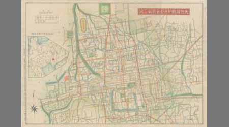
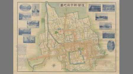
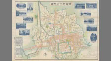
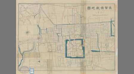
最新佐賀市内地図 附佐賀市商工案内

Kawagoe, Japan, Saitama-ken, Honshu

Japan cities and towns : (shi and machi)

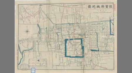
日本商工業別明細之内 佐賀市

A mapp of the Formosa described by Candidius being Tyawan and part of the coast of Formosa

光法村字四本柳全図
![[弘化改正大坂細見図]](https://lapis.nichibun.ac.jp/image?did=6&pic=2&fid=10-68_01_01.jpg)
[弘化改正大坂細見図]

Tokyo

佐賀県肥前国佐賀郡新郷村之内字下武分全図

Asahikawa, Kamikawa Sub-prefecture, Hokkaido, Japan

小金井町町勢一覧 : 東京都北多摩郡小金井町全図
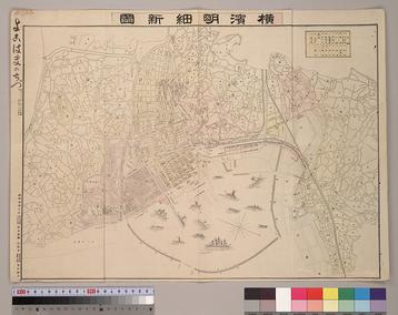
横濱明細新圖
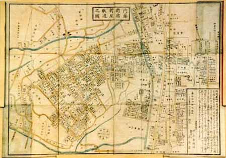
改正 内藤新宿新屋鋪代々木辺図 全

Carte Des Missions Cathliques au Japan . . . 1898 (China and Formosa related insets)
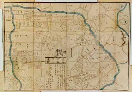
改正 渋谷宮益辺図 全
A new & correct chart of the Indian Sea from Cabo Bonea Esperanca to Japan according to Mr. Edward Wrights projection vulgarly called Mercators chart
Index to Admiralty charts of Nakai or Inland Sea, Korea Strait, Okhotsk Sea, Kamchatka and Peter the Great Bay / Hydrographic Office
Last Updated: 2020-04-16
Uploaded: 2021-07-27