

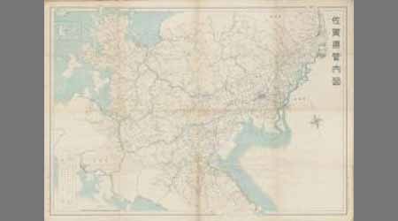
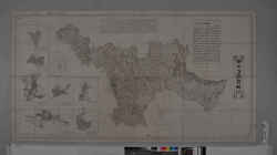
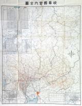
佐賀県管内全図
Saga Prefectual Library
IIIF Discovery in Japan

佐賀県管内全図
Saga Prefectual Library
IIIF Discovery in Japan

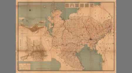
佐賀県管内図
Saga Prefectual Library
IIIF Discovery in Japan
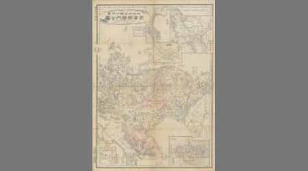
佐賀県管内図
Saga Prefectual Library
Saga Prefectural Library Database
佐賀県管内図
Saga Prefectual Library
Saga Prefectural Library Database
佐賀県管内図
Saga Prefectual Library
Saga Prefectural Library Database

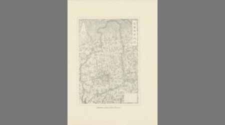
佐賀県管内図
Saga Prefectual Library
IIIF Discovery in Japan

佐賀県管内図
Saga Prefectual Library
IIIF Discovery in Japan
佐賀県管内全図(裏 説明書き)
Saga Prefectual Library
IIIF Discovery in Japan

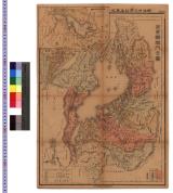
佐賀縣管内全圖
Saga Prefectual Library
IIIF Discovery in Japan
佐賀縣管内全圖
Saga Prefectual Library
Saga Prefectural Library Database

佐賀縣管内全圖
Saga Prefectual Library
IIIF Discovery in Japan

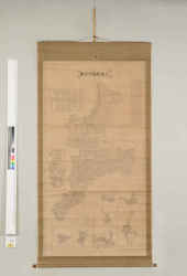
新撰滋賀県管内全図
Digital Archive Fukui
Digital Archive Fukui
佐賀県内略図 (裏)佐賀市案内
Saga Prefectual Library
Saga Prefectural Library Database
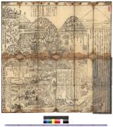
滋賀県管内全図 : 大日本管轄分地図
Iwase Bunko Libray
ADEAC: A System of Digitalization and Exhibition for Archive Collections

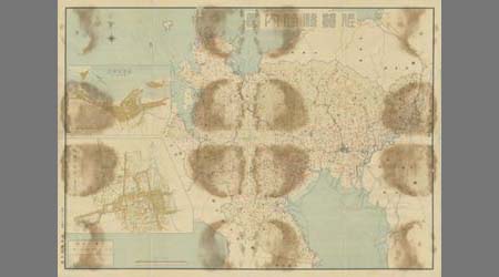
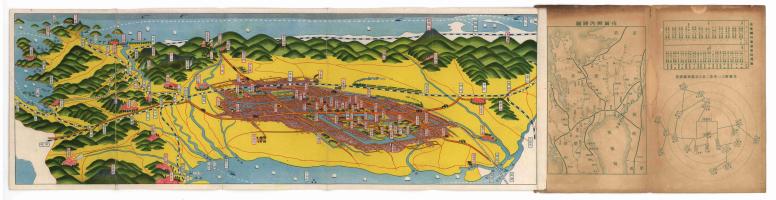
佐賀市管内図 縮小図
Saga Prefectual Library
IIIF Discovery in Japan
佐賀市管内図 縮小図
Saga Prefectual Library
Saga Prefectural Library Database
三重県管内全図
三重県環境生活部文化振興課
Specified Historical Public Records and Archives, Mie
三重県管内全図
Mie Prefectural Museum
三重県総合博物館所蔵品(人文)
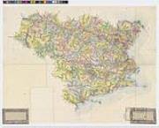
徳島県管内全図
ADEAC: A System of Digitalization and Exhibition for Archive Collections
徳島県管内全図
Tokushima Prefectural Archives
ADEAC: A System of Digitalization and Exhibition for Archive Collections

徳島県管内図 全
Tokushima Prefectural Archives
ADEAC: A System of Digitalization and Exhibition for Archive Collections
岐阜県管内全図
Takayamashi Kyoiku Iinkai
ADEAC: A System of Digitalization and Exhibition for Archive Collections

福井県管内全図
Digital Archive Fukui
Digital Archive Fukui
佐賀縣管内全圖
Saga Prefectual Library
IIIF Discovery in Japan
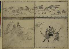
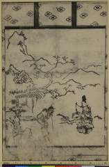
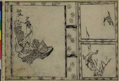
Isemonogatarimusashino
Nationaal Museum van Wereldculturen (Rijksmuseum Volkenkunde, Leiden)
ARC Ukiyo-e Portal Database
佐賀県管内図
Saga Prefectual Library
IIIF Discovery in Japan

Shinnoshichiken
Nationaal Museum van Wereldculturen (Rijksmuseum Volkenkunde, Leiden)
ARC Ukiyo-e Portal Database
Senninzukushi
Nationaal Museum van Wereldculturen (Rijksmuseum Volkenkunde, Leiden)
ARC Ukiyo-e Portal Database
![Tsurigitsunehananokakewana、[nanakusayosooisoga]](http://mfas3.s3.amazonaws.com/styles/grid-2_thumbnail_retina/s3/objects/SC209762.jpg)
Tsurigitsunehananokakewana、[nanakusayosooisoga]
Museum of Fine Arts, Boston
ARC Banzuke (Playbills) Portal Database
Seiougyuu
Nationaal Museum van Wereldculturen (Rijksmuseum Volkenkunde, Leiden)
ARC Ukiyo-e Portal Database
Sekiderakomachi
Nationaal Museum van Wereldculturen (Rijksmuseum Volkenkunde, Leiden)
ARC Ukiyo-e Portal Database

Tayuu hakatachounosuke
Nationaal Museum van Wereldculturen (Rijksmuseum Volkenkunde, Leiden)
ARC Ukiyo-e Portal Database
〈甲州〉身延山之図 : 身延山之図
Iwase Bunko Libray
ADEAC: A System of Digitalization and Exhibition for Archive Collections
Träsnitt, Bildkonst, Woodblock, Print, Woodcut
Museum of Far Eastern Antiquities, Stockholm
Europeana API

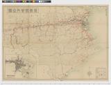
北支事変方面概見図
Yoshida-South Library, Kyoto University
IIIF Discovery in Japan
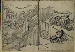
Genjihananoen
Nationaal Museum van Wereldculturen (Rijksmuseum Volkenkunde, Leiden)
ARC Ukiyo-e Portal Database

Il Regno Della China detto presentamente Catay e Mangin . . . 1682
Stanford University Libraries
Stanford Libraries SearchWorks
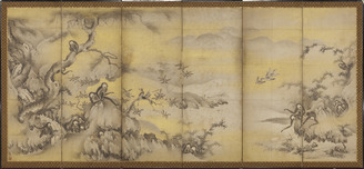
Monkeys Playing amongst Rocks and Trees
Kyoto National Museum
Integrated Collections Database of the National Museums, Japan
Onnasannomiya
Nationaal Museum van Wereldculturen (Rijksmuseum Volkenkunde, Leiden)
ARC Ukiyo-e Portal Database
Last Updated: 2020-04-16
Uploaded: 2021-07-27