
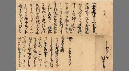
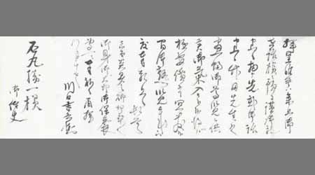
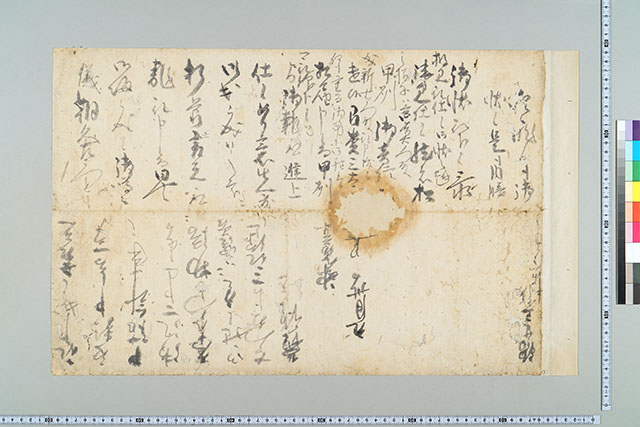
納富千兵衛尉書状
佐賀県立図書館
佐賀県立図書館データベース

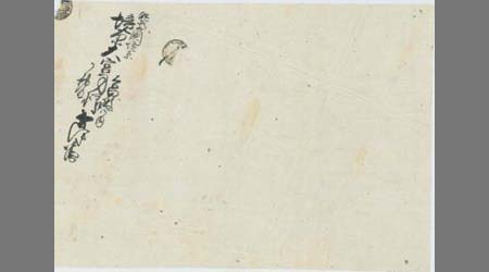
(吉野屋喜兵衛宛書状)
デジタルアーカイブ福井
デジタルアーカイブ福井
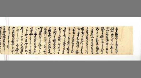
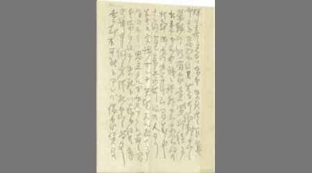
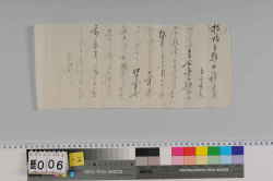
〔谷伊兵衛書状〕
佐賀県立図書館
佐賀県立図書館データベース

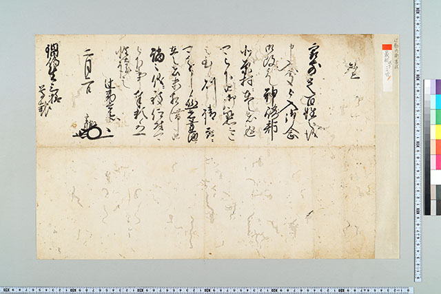
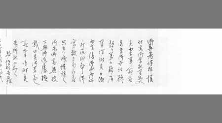
瀬兵衛宛書状
常総市
ADEAC:デジタルアーカイブシステム
〔谷伊兵衛書状〕
佐賀県立図書館
佐賀県立図書館データベース
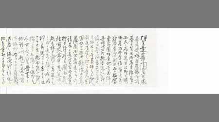
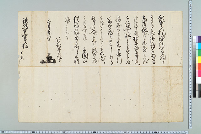
辻勘兵衛書状
佐賀県立図書館
佐賀県立図書館データベース
〔川口吉兵衛書簡〕
佐賀県立図書館
佐賀県立図書館データベース
〔川口吉兵衛書簡〕
佐賀県立図書館
佐賀県立図書館データベース
〔川口吉兵衛書簡〕
佐賀県立図書館
佐賀県立図書館データベース
〔川口吉兵衛書簡〕
佐賀県立図書館
佐賀県立図書館データベース
秋田忠兵衛光季書状(秋田忠兵衛書状)
青森県史デジタルアーカイブシステム
青森県史デジタルアーカイブス 古文書・文献史料データベース
南田半兵衛書状
三重県総合博物館
三重県総合博物館所蔵品(人文)

毛利長兵衛書状
福岡市博物館
福岡市博物館収蔵品データベース

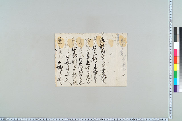
井手勘兵衛書状
福岡市博物館
福岡市博物館収蔵品データベース

志水左兵衛書状
神戸大学附属図書館
神戸大学附属図書館DA貴重書
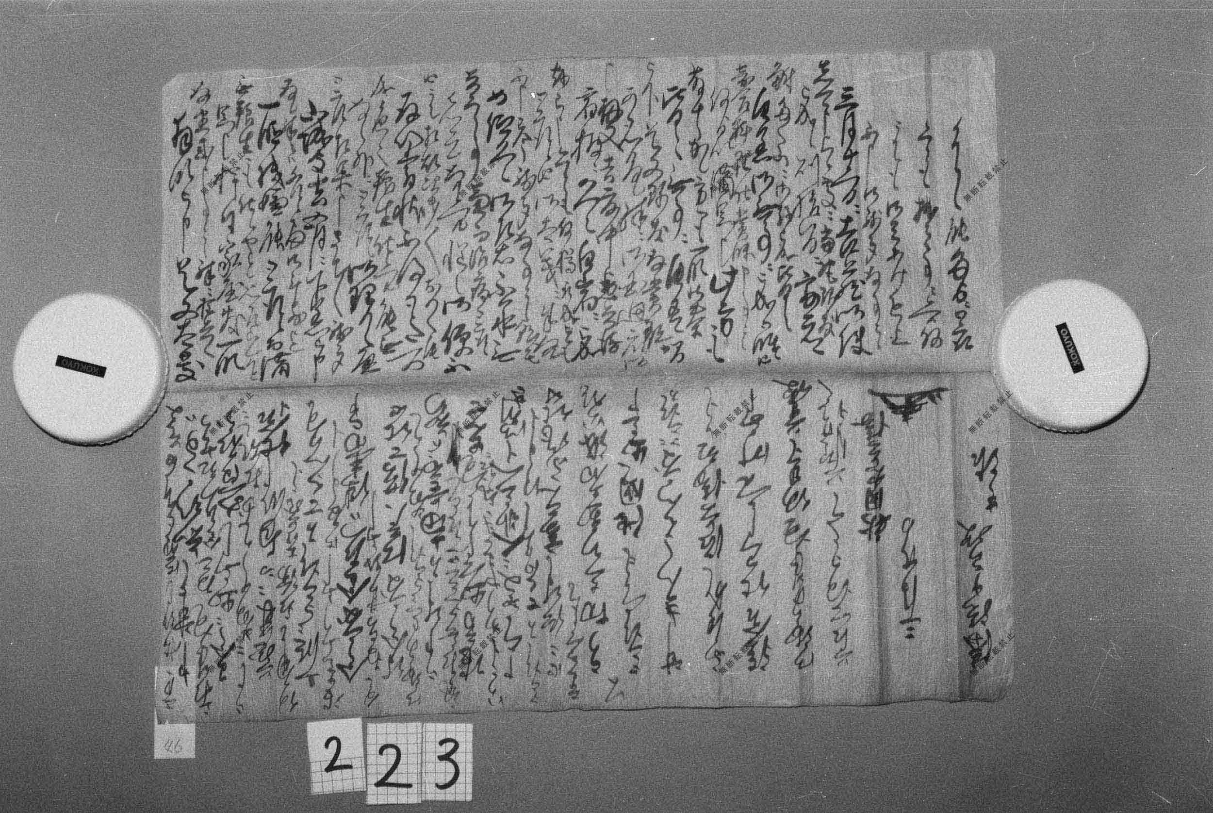
本庄理兵衛書状
佐賀県立図書館
佐賀県立図書館データベース

(金屋新兵衛書状)
デジタルアーカイブ福井
デジタルアーカイブ福井

(薗田茂兵衛書状)
デジタルアーカイブ福井
デジタルアーカイブ福井
副嶋孫兵衛書状
佐賀県立図書館
佐賀県立図書館データベース
神戸善兵衛書状
佐賀県立図書館
佐賀県立図書館データベース
相良五兵衛書状
佐賀県立図書館
佐賀県立図書館データベース
相良五兵衛書状
佐賀県立図書館
佐賀県立図書館データベース
神戸善兵衛書状
佐賀県立図書館
佐賀県立図書館データベース
神戸善兵衛書状
佐賀県立図書館
佐賀県立図書館データベース
Kyoto South : Kyoto Prefecture, Honshu, Japan
イェール大学図書館
イェール大学図書館デジタルコレクション

A Chart of The Entrance of Cape Fear River Surveyed By Order of The Honorable J.K. Paulding, Sec. ...
スタンフォード大学図書館
スタンフォード大学図書館SearchWorks
口上(上々酒5升の注文書)
青森県史デジタルアーカイブシステム
青森県史デジタルアーカイブス 古文書・文献史料データベース
東海道網目分間之図
東京国立博物館
ARC浮世絵ポータルデータベース

Laurie and Whittle's New Chart of the Indian and Pacific Oceans Between the Cape of Good Hope, New...
スタンフォード大学図書館
スタンフォード大学図書館SearchWorks
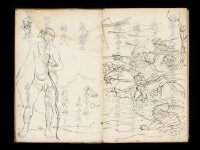
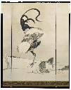
Kuniyoshi's preparatory drawings, no.48
ヴィクトリア・アンド・アルバート博物館
ヴィクトリア・アンド・アルバート博物館API
長篠合戦図屏風
東京国立博物館
ARC浮世絵ポータルデータベース
覚(商品と値段の書付)
青森県史デジタルアーカイブシステム
青森県史デジタルアーカイブス 古文書・文献史料データベース
松梅群鶏図屏風
東京国立博物館
ARC浮世絵ポータルデータベース

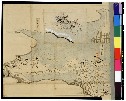
烏蘇里州 : 興凱湖南方地區
スタンフォード大学図書館
スタンフォード大学図書館SearchWorks
最終更新日: 2025-07-15
登録日: 2025-07-16