Survey Map of the Etorofu Island
Survey Map of Rebun and Rishiri Islands

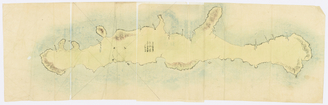
奥尻島測量原図

The only existing wooden beach on Okushiri Island
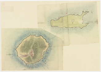
Map of Rebun and Rishiri Islands

Model of the first ferry Okushiri Maru
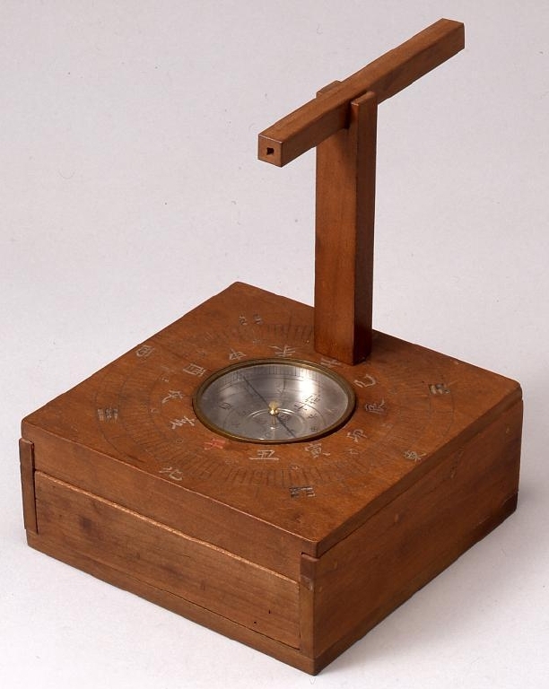
Survey Set

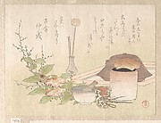
Japanese teacup collection in Okushiri town

Kanmei sokuryou seizu

エドモ湾測量製図
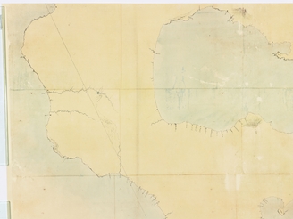
蝦夷地測量製図

国後島測量原図
Map of Kyushu (Large map) No. 15, Koshikijima

Map of Japanese Homeland Island
Map of the Yaeyama Islands
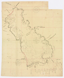
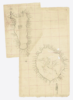
志古丹島測量原図

Hiyama nishi kudoo okushiri futoro setana gunyakusho kannai no zu
![[色丹島]測量図《シコタン嶋全図》](https://colbase.nich.go.jp/media/tnm/P-9997/image/slideshow_s/P-9997_C0072451.jpg)
[色丹島]測量図《シコタン嶋全図》

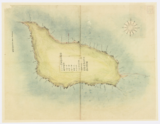
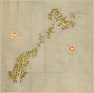
択捉島測量原図「エトロフ全図」

Kimishima sokuryougaku

Kimishima sokuryougaku

測量用製図用器具各種

Map of Kyushu (Small-sized map)

Map of Kyushu (Medium-sized map)

阿波郡大影村分間絵図
Fuji View Plain in Owari Province

Greece in the fifth century B.C

徳島県阿波国町村明細地図
Fuji boven de wolken (variant)

亜細亜東部略図
TOKAIDO GOJU-SAN-TSUGI

Banbutsu ehon taizen zu (Series)
![安房国[東海道図]](https://rmda.kulib.kyoto-u.ac.jp/iiif/RB00020023/RB00020023_00001_0.ptif/full/200,/0/default.jpg)
安房国[東海道図]

painting

surimono
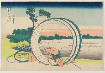
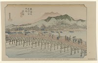
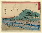
Fujimi Field in Owari Province (Bishū Fujimi-ga-hara), from the series Thirty-Six Views of Mount Fuji (Fugaku sanjūrokkei)
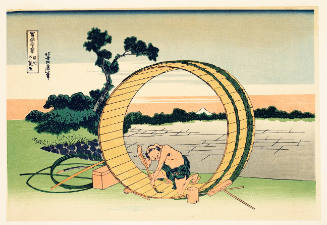
Fuji View Plain in Owari Province, Modern Reproduction, series Thirty-six Views of Mount Fuji

painting; shikishi

Nougakuzue

済州島地質図 = Geological Map of Saishuto

Bishu Fujimigahara (Object); Fugaku sanjurokkei (Series)
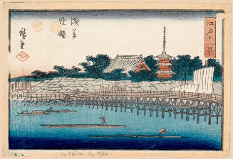
Evening Bell at Asakusa (Asakusa Banshō), series Twelve Views of Edo
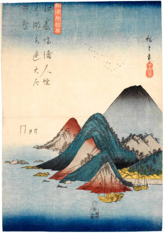
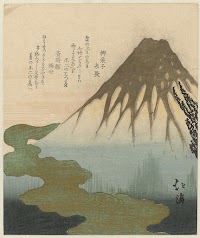
Mountains and Lake (Kojōhohaku), series Japanese and Chinese Verses for Recitation

滿洲歴史地理. : 第壹巻附図 : 後漢時代満洲図(西紀二五-二二〇年)
Kyoto
「(狂歌入東海道)東海道五拾三次」 「由井(ゆい)」「由井川」

Last Updated: 2025-07-22T01:06:05
Uploaded: 2025-07-23