


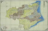


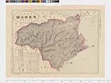


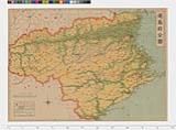
徳島県全図

帝国府県地図 徳島県
帝国府県地図 徳島県

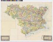
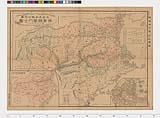
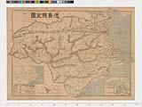
徳島県(地図)
徳島県日本新分県地図

Nagasaki harbor

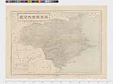
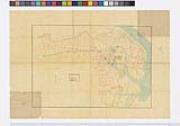
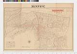
徳島市街全図

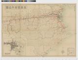
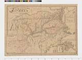
Mandchourie Corée, Japon et côtes orientales de la chine d'après les documents russes, japonais et...
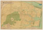
大徳島市街地図
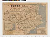
帝国府県地図 徳島県
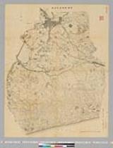
豊橋・高師原・天白原 二万分の一

Mandchourie et Coree de Kharbine a Seoul de Port-Arthur a Vladivostok Traduction de la Carte d'Eta...

Nomigunbungenezu

Strategical map of part of Korea and Manchuria / prepared by the Second Division, General Staff (Military In...
Manshū nōgyō imin nyūshokuzu
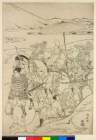
(富士の巻狩り)

Hyakumanbun no ichi Heiyō chiri chōsazu

China divided into its Great Provinces, and The Isle of Japan . . . 1774

徳島市全図
Nichi-Ro sesshō zenkyokumen daichizu / henshūnin Saiki Hironao
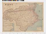
日本府県管内図 徳島県

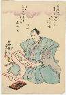
「於鞍馬山牛若丸剣術修行之体」 「中」

Sibérie, partie de l'empire chinois, îles du Japon / par Fx Delamarche, fils
「(市川市蔵」 「死絵)」
Last Updated: 2025-07-15T01:26:19
Uploaded: 2025-07-16