
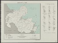
Japan, spring areas
- Time
- Owner Organization
![Japan, spring areas [cartographic material].](https://stacks.stanford.edu/image/iiif/gp763ck4840%2Fgp763ck4840_00_0001/full/!200,200/0/default.jpg)
Japan, spring areas [cartographic material].
Stanford University Libraries
Stanford Libraries SearchWorks

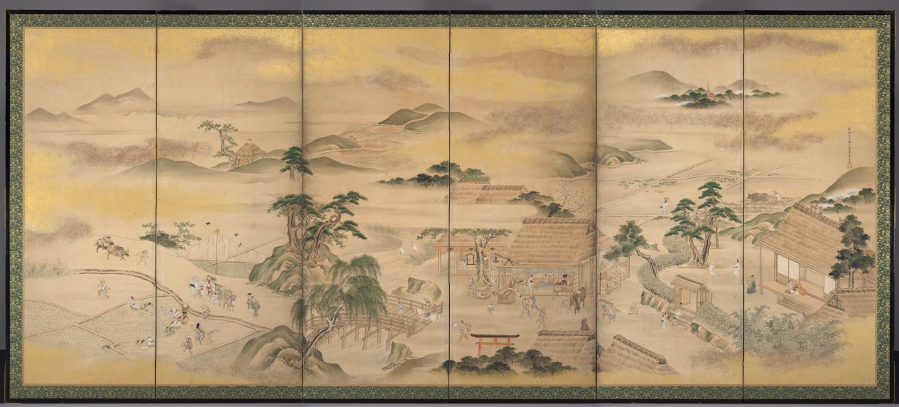
Japan Series: Spring Picnic
Museum of New Zealand Te Papa Tongarewa
DigitalNZ New Zealand API
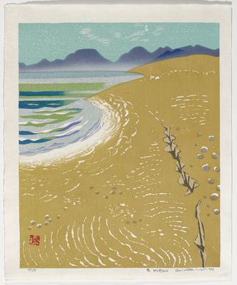
Spring in Kyoto, Japan
Victoria and Albert Museum
Victoria and Albert Museums API

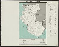
Rice areas in Japan
Stanford University Libraries
Stanford Libraries SearchWorks

Japan: Topography and industrial areas
Stanford University Libraries
Stanford Libraries SearchWorks

Japanese spring
Internet Cultural
Europeana API
Japanese spring
Internet Cultural
Europeana API
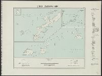
Outlying Areas of Japan & Areas File Underwherein Elections May Be Held
NDL Digital Collections
NDL Digital Collections

Spring Day
Museum of Fine Arts, Houston
Museum of Fine Arts, Houston

A spring day
Freer and Sackler
DPLA API
Spring and Autumn Farming (Spring)
Cleveland Museum of Art
The Cleveland Museum of Art Open Access API

Spring In a Hot-Spring
Freer and Sackler
DPLA API
Spring
Minneapolis Institute of Arts
Minneapolis Institute of Art API
Spring
Art Institute of Chicago
Art Institute of Chicago API

Spring
Art Institute of Chicago
Art Institute of Chicago API

Spring
Art Institute of Chicago
Art Institute of Chicago API

Spring
Honolulu Museum of Art
Honolulu Museum of Art Collection

Spring
Honolulu Museum of Art
Honolulu Museum of Art Collection

Spring
Minneapolis Institute of Arts
Minneapolis Institute of Art API

Spring
Tate Gallery
The Tate Collection

Spring
Freer and Sackler
DPLA API

Spring
Art Institute of Chicago
Art Institute of Chicago API

Spring
Art Institute of Chicago
Art Institute of Chicago API

Spring
Freer and Sackler
DPLA API
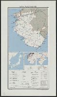
Japan
Yale University Library
Yale University Library Digital Collections

Japan, radiotelephone and radiotelegraph stations : 1941
Yale University Library
Yale University Library Digital Collections

Japan, population changes 1935-1940
Yale University Library
Yale University Library Digital Collections
![Japan, radiotelephone and radiotelegraph stations [cartographic material] : 1941](https://stacks.stanford.edu/image/iiif/pp234mp0165%2Fpp234mp0165_00_0001/full/!200,200/0/default.jpg)
Japan, radiotelephone and radiotelegraph stations [cartographic material] : 1941
Stanford University Libraries
Stanford Libraries SearchWorks

Southwest Japan (Kyūshū, Shikoku, and southwest Honshū), railroads and railroad facilities
Yale University Library
Yale University Library Digital Collections
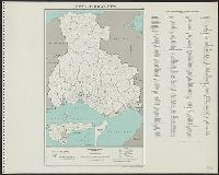
Japan. Aichi-ken : administrative divisions, November 1943
Yale University Library
Yale University Library Digital Collections
Japan. Ōita-ken : administrative divisions, November 1943
Yale University Library
Yale University Library Digital Collections
Wakayama-ken
Yale University Library
Yale University Library Digital Collections
![Japan and adjacent regions of Asia and the Pacific Ocean [cartographic material] / compiled and drawn in the...](https://collections.library.yale.edu/iiif/2/15509964/full/!200,200/0/default.jpg)
Japan and adjacent regions of Asia and the Pacific Ocean [cartographic material] / compiled and drawn in the...
Yale University Library
Yale University Library Digital Collections
Okinawa-ken
Yale University Library
Yale University Library Digital Collections

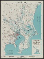
Central Japan (central and northern Honshū) water supply
Stanford University Libraries
Stanford Libraries SearchWorks
Japan, Wakayama-ken
Yale University Library
Yale University Library Digital Collections

Japan, Oita-ken
Yale University Library
Yale University Library Digital Collections
Central Japan :
Yale University Library
Yale University Library Digital Collections

Japan cities and towns : (shi and machi)
Yale University Library
Yale University Library Digital Collections
Hyōgo-ken
Yale University Library
Yale University Library Digital Collections
![Map of Manchuria, Corea & Japan [cartographic material]](https://collections.library.yale.edu/iiif/2/15828540/full/!200,200/0/default.jpg)
Map of Manchuria, Corea & Japan [cartographic material]
Yale University Library
Yale University Library Digital Collections

Kagoshima-ken
Yale University Library
Yale University Library Digital Collections
![Kyūshū no zu [Map of Kyūshū Island, Japan]](https://collections.library.yale.edu/iiif/2/15511837/full/!200,200/0/default.jpg)
Kyūshū no zu [Map of Kyūshū Island, Japan]
Yale University Library
Yale University Library Digital Collections
Japan, Aichi-ken
Yale University Library
Yale University Library Digital Collections
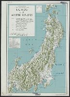
Kantō area : highways and waterways
Yale University Library
Yale University Library Digital Collections
![Japan and adjacent regions of Asia and the Pacific Ocean [cartographic material] / compiled and drawn in the...](https://collections.library.yale.edu/iiif/2/15510875/full/!200,200/0/default.jpg)
Japan and adjacent regions of Asia and the Pacific Ocean [cartographic material] / compiled and drawn in the...
Yale University Library
Yale University Library Digital Collections

Japan electric power / drawn and reproduced by Co B, 942nd Engr. Avn. Topo. Bn, 325th Ric., US Army
Yale University Library
Yale University Library Digital Collections

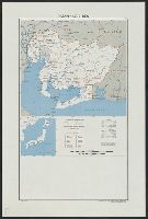
Japan and it's relation to the territory bordering on the Pacific ocean
Yale University Library
Yale University Library Digital Collections
Last Updated: 2021-01-30
Uploaded: 2021-07-29