![Eifuku Tokyo go-ezu [Illustrated map of Tokyo]](https://collections.library.yale.edu/iiif/2/15511725/full/!200,200/0/default.jpg)
Eifuku Tokyo go-ezu [Illustrated map of Tokyo]
- Time
- Owner Organization

Map of Edo (Ōedo dai ezu)
Map of Tokyo

Map of Tokyo and Yokohama

Map of Tokyo : city communications
![[Highway map of the Tokyo region].](https://stacks.stanford.edu/image/iiif/gm158cc8245%2Fgm158cc8245_0001/full/!200,200/0/default.jpg)
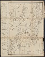
[Highway map of the Tokyo region].

Tokyo, karta, Karta, map@eng

Tokyo metropolis. (inset map) Kanto district. (cover title) Tourist map of Tokyo. Japan : where th...

Central Tokyo : city map.
Map of the missionary districts of north Tokyo & Kyoto : under the jurisdiction of the Bishop of Tokyo 1895
Railway map of Tokyo & vicinity. U.S. Army Map Service, Far East -58-102 - 10/57.1M.

Japanese rickshaws from "Sketches of Tokyo Life ... Illustrated"

New Century map of Tokyo : with index

Japanese tea house from "Sketches of Tokyo Life ... Illustrated"
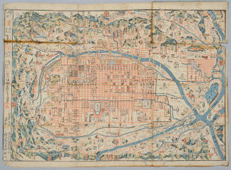
Map of Kyoto
[Map of Kyoto]
![[Map of Kyoto]](https://collections.library.yale.edu/iiif/2/15510884/full/!200,200/0/default.jpg)
[Map of Kyoto]

Map of Kyoto
![[Map of Kyoto]](https://collections.library.yale.edu/iiif/2/15510886/full/!200,200/0/default.jpg)
[Map of Kyoto]

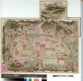
Zoning map of town-planning area of Tokyo - 1925
Map of Tokyo, featuring subway system. Copy rights by Creative Associates, Tokyo, Japan, (May 1975...
![[Boxer Rebellion Map of Beijing] Map of Peking](https://stacks.stanford.edu/image/iiif/ps095pv0584%2F41413/full/!200,200/0/default.jpg)
[Boxer Rebellion Map of Beijing] Map of Peking

Honen Shonin Gyojo Ezu (Illustrated Deeds of the Priest Honen)

(Map of the world). (to accompany) Shomitsu Nippon chizu. (Atlas of Japan). Nippon Shoin. (Tokyo, ...

Guide to Tokyo City

China, Contains 15 Subject Provinces, including the 2 Islands of Hainan Formosa and the Tributary ...
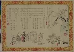
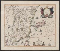
![[永福東京御繪圖]](https://lapis.nichibun.ac.jp/image?did=6&pic=2&fid=10-6_01_01.jpg)
[永福東京御繪圖]

1904 war map of Russia and the continent of Asia
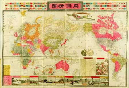
Meijishinsen bankokuseizuzu

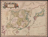
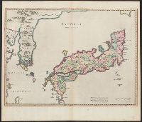
A new and accurate map of the Empire of Japan : laid down from the memoirs of the Portuguese and Dutch, and ...

China Veteribus Sinarum Regio nunc Incolis Tame dicta
Imperii Sinarum nova descriptio

「新板植木つくし」

China, Contains 15 Subject Provinces, including the 2 Islands of Hainan Formosa and the Tributary ...

滿洲歴史地理. : 第壹巻附図 : 三国時代満洲図 (220-265)・西晋時代満洲図 (265-316)

Nieuwe Kaart van't Keizerryk. Japan na de Nieuste ontdekkingen
「四季混題三句会」「書画会」「催 白雪総連」「扱 稲見悟友」

唐土歴代州郡沿革図(07)
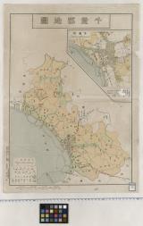
千葉郡地図

「近世人物誌 やまと新聞附録 第五 江藤新平氏」 「近世人物誌」「磯林大尉」「他」

Indiae Orientalis Insularumque Adiacientium Typus

Asiae Nova Delineatio . .
京都明細新圖 : 附名所古跡疎水線路細見
China Divided into its Great Provinces and the Isles of Japan [Material cartográfico]
Iaponia Regnum

Asiae Nova Descriptio

君吉 市川九蔵、白酒うり 沢村訥升、むらさき 市村羽左衛門

Nova Et Accurata Iaponiae Terrae Esonis Ac Insularum . .
China veteribus Sinarum Regio nunc incolis Tame dicta
Last Updated: 2021-01-30
Uploaded: 2021-07-29