
Karta Morskykh Otkrytii Rossiiskimi Moreplavatelimi na Tikhom ... [transliterated from the Cyrilli...
- People
- Time
- Owner Organization

The Syllable Na
Honolulu Museum of Art
Honolulu Museum of Art Collection

From the Sky
Minneapolis Institute of Arts
Minneapolis Institute of Art API
From the Japanese traditional music to the western music
Institute for Research and Coordination Acoustic/Music
Europeana API

From the Boardwalk
Philadelphia Museum of Art
Philadelphia Museum of Art collection
THE RETURN FROM THE PICNIC
Harvard Art Museums
Harvard Art Museums API

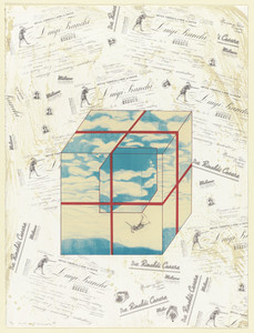
from the series Apartment
Museum of Fine Arts, Houston
Museum of Fine Arts, Houston

from the series Apartment
Museum of Fine Arts, Houston
Museum of Fine Arts, Houston

from the series Apartment
Museum of Fine Arts, Houston
Museum of Fine Arts, Houston

from the series Apartment
Museum of Fine Arts, Houston
Museum of Fine Arts, Houston

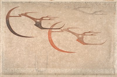
From the Star, Day
Freer and Sackler
DPLA API

Japan from "Japan: travels and researches ... Translated from the German, etc"
British Library
Europeana API
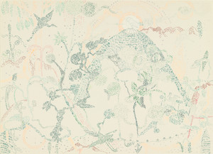
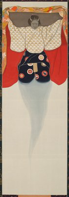
From the Tip of the Head
Museum of Modern Art, New York
The Museum of Modern Art (MoMA) Collection
Sketches from "The Mikado"
State Library Victoria
Trove: National Library of Australia
From the Star, Day
Minneapolis Institute of Arts
Minneapolis Institute of Art API
Viewing the Snow from the Hillside, from the series Pilgrimages to Yamato
Harvard Art Museums
Harvard Art Museums API

The Bodhisattva Kannon, from the triptych Approach of the Amida Trinity
Art Institute of Chicago
Art Institute of Chicago API
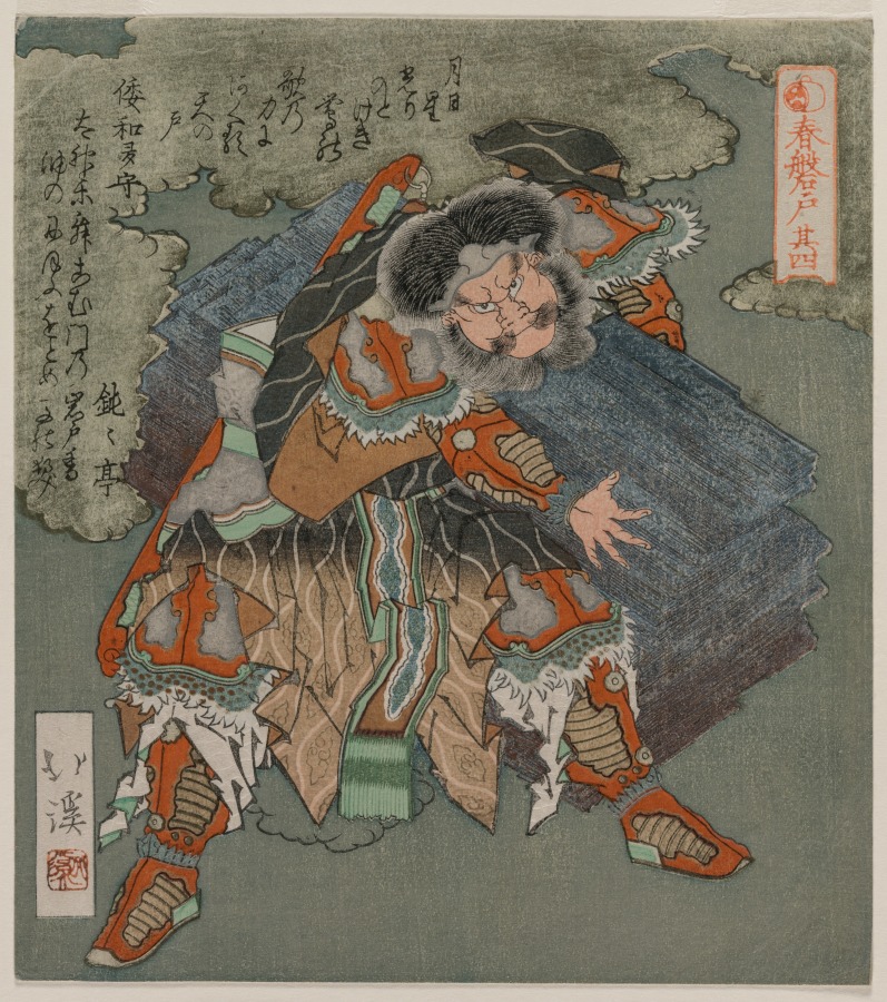
Removing the Stone from the Entrance to the Cave (From the Series The Spring Cave)
Cleveland Museum of Art
The Cleveland Museum of Art Open Access API

From The Ryogoku Bridge
Freer and Sackler
DPLA API
Present from the Sky
Museum of Modern Art, New York
The Museum of Modern Art (MoMA) Collection
From the Ryogoku Bridge
National Gallery of Victoria
Trove: National Library of Australia
From the Ryogoku Bridge
Minneapolis Institute of Arts
Minneapolis Institute of Art API
Emerging from the Robe
Minneapolis Institute of Arts
Minneapolis Institute of Art API
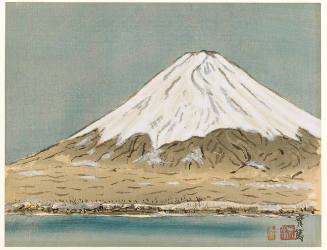
Fuji from the Sea
Honolulu Museum of Art
Honolulu Museum of Art Collection

From the dance Sagimusume
Freer and Sackler
DPLA API

Partie Septentrionale De L'Ocean Pacifique ou L'on Marque Les Decouvertes Et Les Routes De Mrs. De...
Stanford University Libraries
Stanford Libraries SearchWorks

Partie Septentrionale De L'Ocean Pacifique ou L'on Marque Les Decouvertes Et Les Routes De Mrs. De...
Stanford University Libraries
Stanford Libraries SearchWorks

Carte réduite de l'océan septentrional compris entre l'Asie et l'Amérique ... Par le Sr. Bellin ..
Yale University Library
Yale University Library Digital Collections

Karte von Australien oder Polynesien, nach den Zeichnungen, Reisebe Schreibungen und Tagebucher de...
Stanford University Libraries
Stanford Libraries SearchWorks
![[Palembang and Bangka Island, Indonesia] Het Eiland Banka. 1819 [and] De Rivier van Palembang. 1821](https://stacks.stanford.edu/image/iiif/vz793zp5933%2F36200/full/!200,200/0/default.jpg)
[Palembang and Bangka Island, Indonesia] Het Eiland Banka. 1819 [and] De Rivier van Palembang. 1821
Stanford University Libraries
Stanford Libraries SearchWorks
![Hailaerh fukin zu [cartographic material]](https://stacks.stanford.edu/image/iiif/nc103dh1915%2Fnc103dh1915_00_0001/full/!200,200/0/default.jpg)
Hailaerh fukin zu [cartographic material]
Stanford University Libraries
Stanford Libraries SearchWorks

Chart of Discoveries made in 1787, in the Seas of China and Tartary, by the Boussole and Astrolabe...
Stanford University Libraries
Stanford Libraries SearchWorks

Carta General Para Las Navegaciones a la India Oriental Por El Mar Del Sur Y el grande Oceano que ...
Stanford University Libraries
Stanford Libraries SearchWorks
Carta General Para Las Navegaciones a la India Oriental Por El Mar Del Sur Y el grande Oceano que ...
Stanford University Libraries
Stanford Libraries SearchWorks

Carte des Isles du Japon et la Presqu Isle de Coree Avec les Costes de la Chine. Depuis Pekin Jusqu'a Canton...
Yale University Library
Yale University Library Digital Collections

Empire of Japan . .
Stanford University Libraries
Stanford Libraries SearchWorks
![[Russian Map of Northeastern Asia, Japan, Korea, China, Alaska, etc.] ( Summary map of hydrographi...](https://stacks.stanford.edu/image/iiif/pj697kr2558%2F35405/full/!200,200/0/default.jpg)
[Russian Map of Northeastern Asia, Japan, Korea, China, Alaska, etc.] ( Summary map of hydrographi...
Stanford University Libraries
Stanford Libraries SearchWorks

Karte von Australien oder Polynesien, nach den Zeichnungen, Reisebe Schreibungen und Tagebucher de...
Stanford University Libraries
Stanford Libraries SearchWorks

Karte von Australien oder Polynesien, nach den Zeichnungen, Reisebe Schreibungen und Tagebucher de...
Stanford University Libraries
Stanford Libraries SearchWorks
![[Japan] (Published in Manila!)](https://stacks.stanford.edu/image/iiif/gv355sq3352%2F37869hs/full/!200,200/0/default.jpg)
[Japan] (Published in Manila!)
Stanford University Libraries
Stanford Libraries SearchWorks
Japanese Empire--802 M
National Library of Australia
Trove: National Library of Australia

New Guinea - South Coast. Freshwater Bay to C. Blackwood
Stanford University Libraries
Stanford Libraries SearchWorks
![Indo Hyakumanbunnoichi Zu Tōbu Shūiki [cartographic material]](https://stacks.stanford.edu/image/iiif/wr290sd1084%2Fwr290sd1084_00_0001/full/!200,200/0/default.jpg)
Indo Hyakumanbunnoichi Zu Tōbu Shūiki [cartographic material]
Stanford University Libraries
Stanford Libraries SearchWorks

Chart Prepared By James B. Moore, To Accompany His Memorial To Congress Respecting the subject of ...
Stanford University Libraries
Stanford Libraries SearchWorks

冨士登山案内之図
Mt.Fuji World Heritage Center, Shizuoka
ADEAC: A System of Digitalization and Exhibition for Archive Collections

Carta General para las Navegaciones a la India Oriental por el Mar del Sur y el Grande Oceano que ...
Stanford University Libraries
Stanford Libraries SearchWorks

Togian Isles to Peleng Strait
Stanford University Libraries
Stanford Libraries SearchWorks
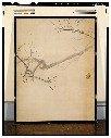
梅図・芦雁図襖
Tokyo National Museum
ARC Ukiyo-e Portal Database

Australien gezeichnet vom Professor J.M.F. Schmidt . . . 1820
Stanford University Libraries
Stanford Libraries SearchWorks
Last Updated: 2020-04-17
Uploaded: 2021-09-21