
Japan : Karafuto, town plan of Ochiai
- Time
- Owner Organization

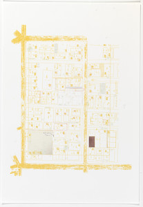
Japan : Karafuto : town plan of Ōtomari
Stanford University Libraries
Stanford Libraries SearchWorks

Town plan of Otomari : Japan: Karafuto
Monash University Library
Trove: National Library of Australia

Town plan of Toyohara : Japan: Karafuto
Monash University Library
Trove: National Library of Australia

Town plan of Toyohashi
Stanford University Libraries
Stanford Libraries SearchWorks

Town plan of Kōfu
Stanford University Libraries
Stanford Libraries SearchWorks
![Town plan of Sendai [cartographic material]](https://stacks.stanford.edu/image/iiif/fv573yp8495%2Ffv573yp8495_00_0001/full/!200,200/0/default.jpg)
Town plan of Sendai [cartographic material]
Stanford University Libraries
Stanford Libraries SearchWorks
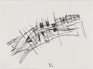
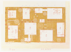
Town Plan Project, Kobe, Japan, Site plan
Museum of Modern Art, New York
The Museum of Modern Art (MoMA) Collection

Town plan of Wakayama
Monash University Library
Trove: National Library of Australia

Japan. (inset) Plan of Yeddo Bay
Stanford University Libraries
Stanford Libraries SearchWorks

Japan, Karafuto : production and processing of principal foods
Stanford University Libraries
Stanford Libraries SearchWorks

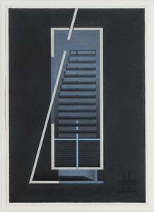
Church of the Light, Ibaraki, Osaka, Japan (Plan)
Museum of Modern Art, New York
The Museum of Modern Art (MoMA) Collection
Church of the Light, Ibaraki, Osaka, Japan, Plan
Museum of Modern Art, New York
The Museum of Modern Art (MoMA) Collection
Church of the Light, Ibaraki, Osaka, Japan, Plan
Museum of Modern Art, New York
The Museum of Modern Art (MoMA) Collection
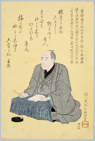
Memorial Portrait of Ichiryūsai Kuniyoshi by Ochiai Yoshiiku
Honolulu Museum of Art
Honolulu Museum of Art Collection
Plan Of Nakanoshima Project, Osaka, Japan
Metropolitan Museum of Art
The Metropolitan Museum of Art Open Access CSV
View of the harbour and town Kanagawa, Japan
Victoria and Albert Museum
Victoria and Albert Museums API

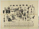
Plan of thermo-baths ; Kokura town plan; devices used for the criminals' executions; a large bell; a shuit o...
General Research Division. The New York Public Library
DPLA API
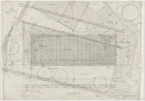
Moriyama House, Tokyo, Japan (Site plan)
Museum of Modern Art, New York
The Museum of Modern Art (MoMA) Collection

Tokyo Teleport Town, Tokyo, Japan, Interior Perspective
Art Institute of Chicago
Art Institute of Chicago API

Tokyo Teleport Town, Tokyo, Japan, Exterior Perspective
Art Institute of Chicago
Art Institute of Chicago API

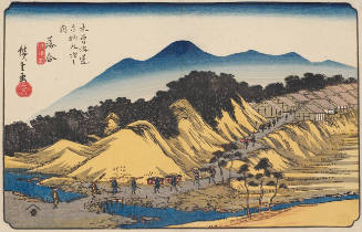
No. 45: Ochiai, from the series "Sixty-nine Stations of the Kisokaido (Kisokaido rokujukyu tsugi no uchi)"
Art Institute of Chicago
Art Institute of Chicago API

Children of Japan
Philadelphia Museum of Art
Philadelphia Museum of Art collection
Moriyama House, Tokyo, Japan (Ground-floor plan)
Museum of Modern Art, New York
The Museum of Modern Art (MoMA) Collection
Ochiai Station, series Sixty Nine Stations of the Kiso Road
Honolulu Museum of Art
Honolulu Museum of Art Collection

高山市街略図
Takayamashi Kyoiku Iinkai
ADEAC: A System of Digitalization and Exhibition for Archive Collections

Kii no Kuni Hidaka-gun Tennonsan Dōjōji yurai
Stanford University Libraries
Stanford Libraries SearchWorks

Manshū Gomanbun no ichi Haisen Kokusan fukin
Stanford University Libraries
Stanford Libraries SearchWorks
![Tokyo : [base map showing political divisions]](https://stacks.stanford.edu/image/iiif/jw443fg4075%2Fjw443fg4075_00_0001/full/!200,200/0/default.jpg)
Tokyo : [base map showing political divisions]
Stanford University Libraries
Stanford Libraries SearchWorks

The Guide Map to the Railway in The Neighbourhood of Tokyo
Stanford University Libraries
Stanford Libraries SearchWorks
Horikawa
Shochiku Otani Library
ARC Banzuke (Playbills) Portal Database
Illustrated book
Metropolitan Museum of Art
The Metropolitan Museum of Art Open Access CSV

Okinawa - Jima
Stanford University Libraries
Stanford Libraries SearchWorks
東照神君開運城跡浜松鉄城閣及市街略図
Hamamatsu City Central Library
ADEAC: A System of Digitalization and Exhibition for Archive Collections

Proportion of Entrances & Clearances of National Vessels in the Sea Trade of their Respective Coun...
Stanford University Libraries
Stanford Libraries SearchWorks

The Japanese petroleum industry (map no. two)
Stanford University Libraries
Stanford Libraries SearchWorks
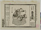
Kanjinchou
Shochiku Otani Library
ARC Banzuke (Playbills) Portal Database
![Bakyōshi fukin chikeizu [cartographic material]](https://stacks.stanford.edu/image/iiif/kh185vk2388%2Fkh185vk2388_00_0001/full/!200,200/0/default.jpg)
Bakyōshi fukin chikeizu [cartographic material]
Stanford University Libraries
Stanford Libraries SearchWorks

Japan, political divisions
Stanford University Libraries
Stanford Libraries SearchWorks
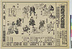
Shuuomoi
Shochiku Otani Library
ARC Banzuke (Playbills) Portal Database
Suzugamoritsuinomiogui
Shochiku Otani Library
ARC Banzuke (Playbills) Portal Database

Chuushinguraanasagashiyanagidaru
Ako City Local History Compilation Department
ARC Ukiyo-e Portal Database
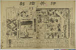
勧進帳
Shochiku Otani Library
ARC Banzuke (Playbills) Portal Database

Japan, acreage of rice by prefectures, 1939. Japan, acreage of wheat by prefectures, 1939
Stanford University Libraries
Stanford Libraries SearchWorks
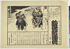
Shunkan、ayatsurisanbasou、toshima、tomoyakko、onnagoroshiaburanojigoku、numazu、koujou、sonezakishinjuu
Shochiku Otani Library
ARC Banzuke (Playbills) Portal Database

Daikyoiujimukashigoyomikirikumitourou
Art Research Center, Ritsumeikan University
ARC Ukiyo-e Portal Database

上総矢さしが浦通名九十九里
Funabashi-shi Western Library
ADEAC: A System of Digitalization and Exhibition for Archive Collections
Meijichuushingura、jakogafuchishittonoadanami、koutokushikainioyobu、takemotoharimatayuu、yaetasuki
Shochiku Otani Library
ARC Banzuke (Playbills) Portal Database
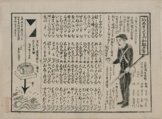
あめりかことば和解の写
Tokyo National Museum
Integrated Collections Database of the National Museums, Japan
Last Updated: 2020-04-17
Uploaded: 2021-09-21