

Durville Island and Approaches
Stanford University Libraries
Stanford Libraries SearchWorks

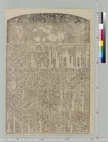
Miyako shinbun
Kyoto Institute, Library and Archives
Rekisaikan Digital archive

瑞木 8号 昭和18年7月
ADEAC: A System of Digitalization and Exhibition for Archive Collections
湖畔の声 昭和18年8月号
Omihachiman City Library
ADEAC: A System of Digitalization and Exhibition for Archive Collections
深柄光勇日記(昭和18年8月1日〜昭和18年11月26日)
Fukuzawa Memorial Center for Modern Japanese Studies
Keio Object Hub

秋田県気象月報 昭和27年8月
ADEAC: A System of Digitalization and Exhibition for Archive Collections

日炭高松新聞 : 昭和35年8月27日
Kyushu University Collections
Kyushu University Collections
湖畔の声 昭和14年8(月号) 第27巻第8号
Omihachiman City Library
ADEAC: A System of Digitalization and Exhibition for Archive Collections
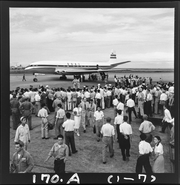
Shouwa27nen7gatsu8nichi、hanedakuukounichakuriku
Photo Archive Japan
Photo Archive Japan Database

朱扇 昭和27年3月号
Omiya Library, Saitama
ADEAC: A System of Digitalization and Exhibition for Archive Collections

高砂市政だより 第8号(昭和30年8月27日)
Takasago
ADEAC: A System of Digitalization and Exhibition for Archive Collections
Shinkan geppo, Showa 3 year, August (August 1928)
The National Museum of Modern Art, Tokyo
Union Catalog of the Collections of the National Art Museums, Japan

Shinkan geppo, Showa 5 year, August (August 1930)
The National Museum of Modern Art, Tokyo
Union Catalog of the Collections of the National Art Museums, Japan
深柄光勇日記(昭和17年8月31日〜昭和18年12月1日、昭和19年6月3日、昭和19年4月30日〜昭和19年5月3日、昭和26年3月21日)
Fukuzawa Memorial Center for Modern Japanese Studies
Keio Object Hub
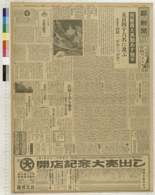
Kaishinshinbun
Graduate School for Law and Politics, the University of Tokyo
UTokyo Academic Archives Portal

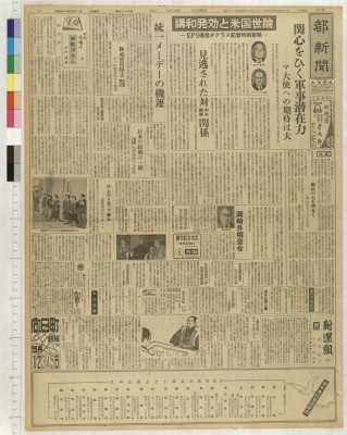
Miyako shinbun
Kyoto Institute, Library and Archives
Rekisaikan Digital archive

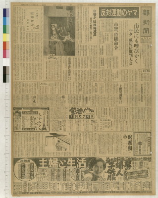
Miyako shinbun
Kyoto Institute, Library and Archives
Rekisaikan Digital archive

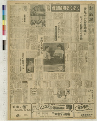
Miyako shinbun
Kyoto Institute, Library and Archives
Rekisaikan Digital archive
Miyako shinbun
Kyoto Institute, Library and Archives
Rekisaikan Digital archive
Miyako shinbun
Kyoto Institute, Library and Archives
Rekisaikan Digital archive
Miyako shinbun
Kyoto Institute, Library and Archives
Rekisaikan Digital archive

Miyako shinbun
Kyoto Institute, Library and Archives
Rekisaikan Digital archive
Miyako shinbun
Kyoto Institute, Library and Archives
Rekisaikan Digital archive

Miyako shinbun
Kyoto Institute, Library and Archives
Rekisaikan Digital archive

A pictorial map : Victory in the Pacific Designed and published by Ernest Dudley Chase of Winchest...
Stanford University Libraries
Stanford Libraries SearchWorks

China. (with) Islands of Japan. By Keith Johnston, F.R.S.E. Keith Johnston's General Atlas. Engrav...
Stanford University Libraries
Stanford Libraries SearchWorks

China, Contains 15 Subject Provinces, including the 2 Islands of Hainan Formosa and the Tributary ...
Stanford University Libraries
Stanford Libraries SearchWorks

Christianographie (Ancient World)
Stanford University Libraries
Stanford Libraries SearchWorks

Empire of Japan. (with) Nagasaki Harbour. Engraved by J. & C. Walker. Published under the superint...
Stanford University Libraries
Stanford Libraries SearchWorks

China and Japan by Keith Johnston, F.R.S.E. (with) Islands of Japan. Engraved & printed by W. & A....
Stanford University Libraries
Stanford Libraries SearchWorks

Chinesisches Reich und Japan. Entw. u. gez. v. F. Handtke. Druck und Verlag von C Flemming in Glog...
Stanford University Libraries
Stanford Libraries SearchWorks

「安房国鋸山日本寺図」
Tokyo Metropolitan Central Library
ARC Ukiyo-e Portal Database

Islands of Japan. (with) Japan, Mandshuria, (Showing the Course of the Amur River) The Kurile Isle...
Stanford University Libraries
Stanford Libraries SearchWorks
Japanse schildering van huis in sneeuwlandschap
Royal Library of the Netherlands
Europeana API
禽虫之図
Tokyo National Museum
ARC Ukiyo-e Portal Database

冨士山東口須走(登山案内図)
Mt.Fuji World Heritage Center, Shizuoka
ADEAC: A System of Digitalization and Exhibition for Archive Collections
![Chinkaiwan yōsai Masan Kinbō [cartographic material]](https://stacks.stanford.edu/image/iiif/tb303fm7493%2Ftb303fm7493_00_0001/full/!200,200/0/default.jpg)
Chinkaiwan yōsai Masan Kinbō [cartographic material]
Stanford University Libraries
Stanford Libraries SearchWorks

Asia According to the best Authorities
Stanford University Libraries
Stanford Libraries SearchWorks

「大仏耳塚」
C. V. Starr East Asian Library, University of California, Berkeley
ARC Ukiyo-e Portal Database
Collection of Thirty-six Kyōka Poems
Metropolitan Museum of Art
The Metropolitan Museum of Art Digital Collection
Karte vom Japanischen Reiche, nach Original-karten und astronomischen Beobachtungen der Japaner : ...
Royal Library of the Netherlands
Europeana API

34. L'Empire de la Chine, avec la Tartarie Chinoise
Stanford University Libraries
Stanford Libraries SearchWorks
![The Northwestern Pacific [cartographic material].](https://stacks.stanford.edu/image/iiif/hk776rv6776%2Fhk776rv6776_00_0001/full/!200,200/0/default.jpg)
The Northwestern Pacific [cartographic material].
Stanford University Libraries
Stanford Libraries SearchWorks

「浅草御坊御遷仏略図」
Tokyo Metropolitan Central Library
ARC Ukiyo-e Portal Database
Pas-caert van't Oostelyckste deel van Oost Indien : met alle de Eylanden daer onder gelegen, van Cabo Comorin tot aen Japan / by Hendrick Doncker Boekverkooper en Graadbooghmaacker Inde Nieuwbrughsteegh
National Library of Australia
Trove: National Library of Australia

L'Empire Du Japon devisé en sept principales parties, et subdivisè en soixante et six Royaumes, Par le Sr....
Yale University Library
Yale University Library Digital Collections

「下野国塩谷郡塩原温泉之図」
Tokyo Metropolitan Central Library
ARC Ukiyo-e Portal Database
![[Untitled Map of the Ancient World : Europe, Asia and Africa]](https://stacks.stanford.edu/image/iiif/ss295kf6573%2F37437/full/!200,200/0/default.jpg)
[Untitled Map of the Ancient World : Europe, Asia and Africa]
Stanford University Libraries
Stanford Libraries SearchWorks
Last Updated: 2020-04-17
Uploaded: 2021-09-21