
Chart Prepared By James B. Moore, To Accompany His Memorial To Congress Respecting the subject of ...
- People
- Time
- Owner Organization
A map guide to Japan / cartography by H.E.C. Robinson ; text was prepared by ... R.H.P. Mason, Victor Prescott

A Chart of The Entrance of Cape Fear River Surveyed By Order of The Honorable J.K. Paulding, Sec. ...
Japans-Chinese oorlog. Rookwolken boven de Sjanghai-voorstad Poutong die door de Japanners wordt b...
Pacific Ocean / compiled and drawn in the Cartographic Section of the National Geographic Society for the National geographic magazine ; Gilbert Grosvenor, editor ; Albert H. Bumstead, chief cartographer ; culture by James M. Darley ; physiography by Charles E. Riddiford

Japan road map, 1:1,000,000 / prepared under the direction of the Chief of Engineers, U.S. Army by the Army ...

A new chart of the Pacific Ocean : exhibiting the western coast of America, from Cape Horn to Beerings Strait, the eastern shores of Asia including Japan, China and Australia and all the numerous islands and known dangers situated in Polynesia and Australasia / correctly drawn and regulated according to the most approved and modern surveys and astronomical observations by J.W. Norie

Empire of Japan. (with) Nagasaki Harbour. Engraved by J. & C. Walker. Published under the superint...

Sendai key map.

Tabula Geodoborica Itinerum a Varijs in Cataium susceptorum rationem exhibens (Kircher's map of hi...

Kuramanofukooroshi

India quae Orientalis dicitur et Insulae Adiacentes
駿河国富士郡大宮国幣中社浅間神社之図

Carte des Isles du Iapon : esquelles est remarqve la Route tant par Mer que par Terre que tiennent les Holla...

Partie Septentrionale De L'Ocean Pacifique ou L'on Marque Les Decouvertes Et Les Routes De Mrs. De...

Carte des Isles du Japon et la Presqu Isle de Coree Avec les Costes de la Chine. Depuis Pekin Jusqu'a Canton...

Partie Septentrionale De L'Ocean Pacifique ou L'on Marque Les Decouvertes Et Les Routes De Mrs. De...

Torokina Hikōjo

La Transasiatique, route terrestre de l'Extrême-Orient, de la Chine et du Japon à travers la Sibér...
![Tokyo city proper [cartographic material]](https://stacks.stanford.edu/image/iiif/vj067cj0650%2Fvj067cj0650_00_0001/full/!200,200/0/default.jpg)
Tokyo city proper [cartographic material]

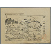
冨士登山案内之図

L'Empire Du Japon, Tire Des Cartes Des Japonais

Australia - West Coast. Shark Bay
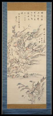
Landscape

Das Chinesische Reich mit den Schutz-Staaten, und Japan: entw. u. gez. v. C.G R.(eichard) 1826. Ge...

A New and Correct Chart of all the Known World Laid down according to Mercator's Projection

Exacta et accurata delineatio cum orarum maritimarum tum etiam locotum terrestrium quae in regioni...

Reconstruction plan of Yokohama
![America Bay [cartographic material]](https://stacks.stanford.edu/image/iiif/nj035cf2832%2Fnj035cf2832_00_0001/full/!200,200/0/default.jpg)
America Bay [cartographic material]

Skizze des weges von Tokio nach Yumotto (Nikko Berge) nach eigenen Aufzeichnungen / von E. Knippin...
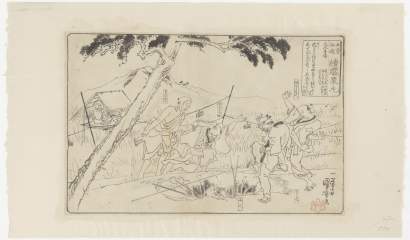
「木曽街道 膝栗毛」「大久手」
Last Updated: 2020-04-17
Uploaded: 2021-09-21