
Cockscomb Seaweed, Drawn by Request (Ōju sha tosaka nori)
- People
- Time
- Owner Organization

Gathering Seaweed at Omori in Shinagawa (Shinagawa, Omori, meisan nori tori), section of sheet no. 1 from the series "Cutout Pictures of the Tokaido Road (Tokaido harimaze zue)"
(Lew Chew) Tubootch & Suco Harbors / surveyed July 1854 by Lieuts. William B. Whiting and Alphonse Barbot, U.S.N. belonging to U.S. Ship Vandalia, John Pope Commander by Order of Commodore Matthew C. Perry Commanding U.S. Naval Forces in East Indies, China and Japan Seas ; drawn by Lieut. S. Bent ; engraved by S. Siebert, lettering by C.A. Knight
Chart of the coast of China and of the Japan Islands including the Marianes and a part of the Philippines / compiled by order of Commodore M.C. Perry U.S.N. from the latest authorities with additions and corrections by the U.S. Japan Expedition by Lieuts. W.L. Maury and S. Bent U.S.N. ; drawn by Edw. Sels ; engr. by S. Siebert
Pacific Ocean / compiled and drawn in the Cartographic Section of the National Geographic Society for the National geographic magazine ; Gilbert Grosvenor, editor ; Albert H. Bumstead, chief cartographer ; culture by James M. Darley ; physiography by Charles E. Riddiford

A new chart of the Pacific Ocean : exhibiting the western coast of America, from Cape Horn to Beerings Strait, the eastern shores of Asia including Japan, China and Australia and all the numerous islands and known dangers situated in Polynesia and Australasia / correctly drawn and regulated according to the most approved and modern surveys and astronomical observations by J.W. Norie
The country trade East-India pilot, for the navigation of the East-Indies and oriental seas, within the limits of the East-India Company, extending from the Cape of Good Hope to China, New Holland and New Zeeland, with the Red Sea, Gulf of Persia, Bay of Bengal, and China Seas / chiefly composed from actual surveys and draughts communicated by experienced officers of the East-India Company, and from the Neptune oriental by M. d'Apres de Mannevillette
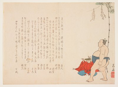
Sumo Wrestler Attending a Ceremony
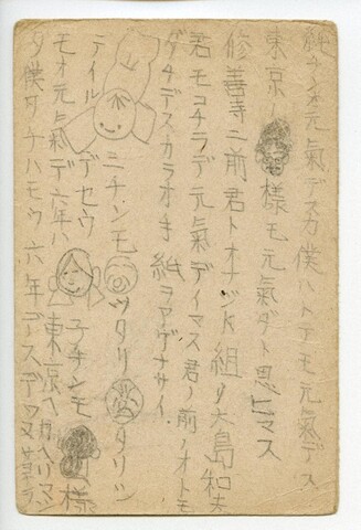
森田純二宛森田洸一葉書(人物の名前を似顔絵で描いた近況報告)
![[Seven Gods of Good Fortune]](http://lapis.nichibun.ac.jp/image?did=8&pic=1&fid=G130143802.jpg)
[Seven Gods of Good Fortune]

surimono

Water Bucket and Decorated Shrine Pillar with Poems

surimono; print

surimono
![[Garden Cleanup]](http://lapis.nichibun.ac.jp/image?did=8&pic=1&fid=G130121002.jpg)
[Garden Cleanup]

Signposts and Irises with Poems
Diary entry for September 20th
Colophon from The Kōrin Picture Album (Kōrin gafu)
森田洸一宛森淳葉書(手紙のお礼、近々訪ねる)

surimono

surimono
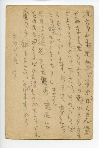
森田洸一宛高橋達太郎葉書(遠足、近況書いてくれ)
![[Chopsticks]](http://lapis.nichibun.ac.jp/image?did=8&pic=1&fid=G130566702.jpg)
[Chopsticks]

surimono; diptych print

surimono

surimono

surimono

surimono
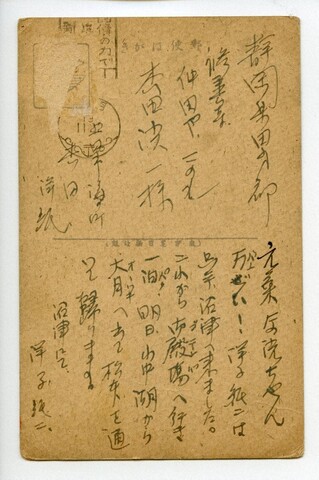
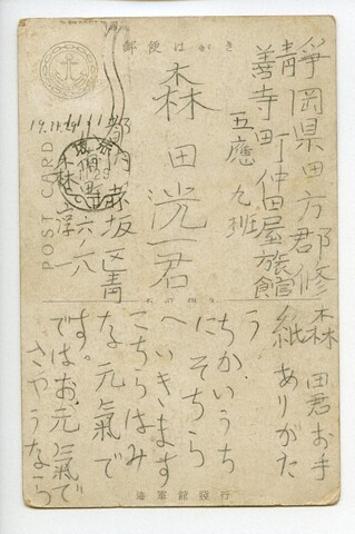
森田洸一宛森田洋子・森田純二葉書(沼津、御殿場、山中湖経由で帰宅)

Shrine Maiden at Itsukushima

surimono
Uploaded: 2022-09-27