
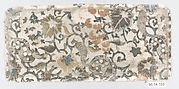

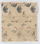
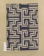
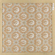
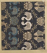


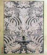
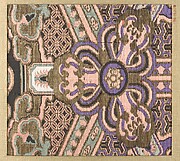

Robe, Priest's

Exacta & accurata delineatio cum orarum maritimarum tum etiam locorum terrestrium quae in regionibus China, ...

千々賀

Laurie and Whittle's New Chart of the Indian and Pacific Oceans Between the Cape of Good Hope, New...

Exacta & accurata delineatio cum orarum maritimarum tum etiam locorum terrestrium quae in regionibus China, ...

狩野元信周辺 伯牙鍾子期図
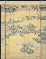
西湖春景_銭塘観潮図屏風
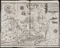
Exacta & accurata delineatio cum orarum maritimarum ..

呼子

三間坂

「上加茂山蕈採之図」
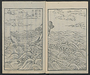
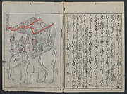
漂流記

Carte De La Louisiane Colonie Francaise avec le Cours du Fleuve St Louis…1757
Laurie and Whittle's new chart of the Indian and Pacific Oceans between the Cape of Good Hope, New Holland and Japan : comprehending New Zealand, New Caledonia, New Britain, New Ireland, New Guinea &c., Louisiade and New Georgia; also The Pelew, New Caroline, Ladrone and Philippine Islands &c. with the most remarkable tracks of the English, Spanish, French and Dutch navigators and chiefly the track of the Walpole, EastIndiaman, Captn. Thos. Butler, 1794 from the Cape of Good Hope to Van Diemen's Land and from thence to China, and the track of the Royal Admiral Captn. Henr. Bond in 1792 and 93 from the Cape to Port Jackson and China

唐津市

「上州草津温泉之図」

有浦上

「洛東清水寺春」

A pictorial map : Victory in the Pacific Designed and published by Ernest Dudley Chase of Winchest...
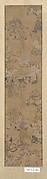
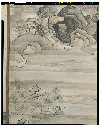
Summer Landscape
「両国涼見三幅対」
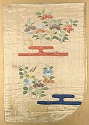
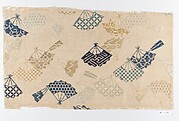
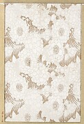
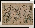
Illustrated book

梅野
大坂冬の陣図屏風(模本)
最終更新日: 2023-07-23
登録日: 2023-08-04