
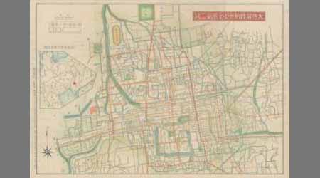
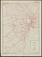
大佐賀最新市街全図第二版
Saga Prefectual Library
Saga Prefectural Library Database

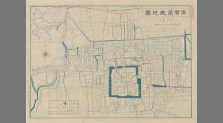
佐賀市街全図 最新実測番地入(裏)
Saga Prefectual Library
IIIF Discovery in Japan
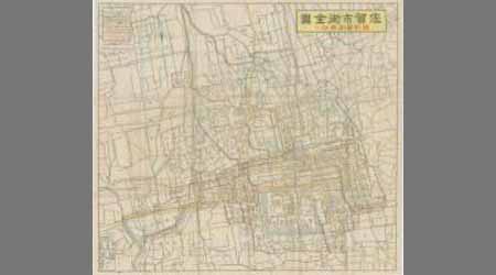
佐賀市街全図 最新実測番地入(裏)
Saga Prefectual Library
Saga Prefectural Library Database

佐賀市街全図 最新実測番地入(表)
Saga Prefectual Library
IIIF Discovery in Japan
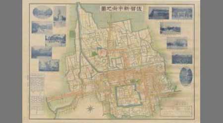
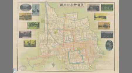
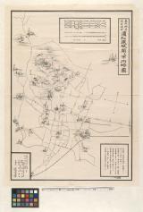
佐賀新市街地図
Saga Prefectual Library
Saga Prefectural Library Database
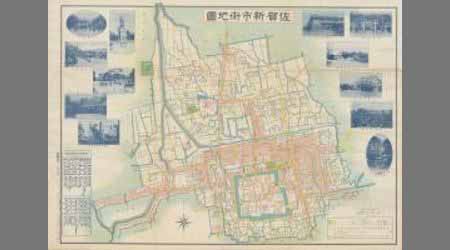
佐賀新市街地図
Saga Prefectual Library
Saga Prefectural Library Database

佐賀新市街地図
Saga Prefectual Library
IIIF Discovery in Japan

佐賀新市街地図
Saga Prefectual Library
IIIF Discovery in Japan

佐賀市街全図 最新実測番地入(袋表)
Saga Prefectual Library
Saga Prefectural Library Database
佐賀市街全図 最新実測番地入(袋裏)
Saga Prefectual Library
Saga Prefectural Library Database

佐賀市街全図 最新実測番地入(袋裏)
Saga Prefectual Library
IIIF Discovery in Japan
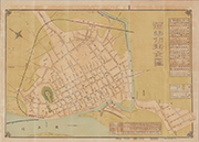
最新酒田市街全図
個人蔵
ADEAC: A System of Digitalization and Exhibition for Archive Collections
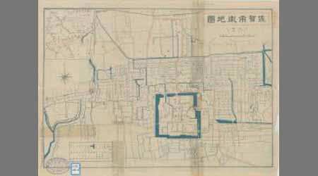
佐賀市街地図
Saga Prefectual Library
Saga Prefectural Library Database
佐賀市街地図
Saga Prefectual Library
Saga Prefectural Library Database

佐賀市街地図
Saga Prefectual Library
IIIF Discovery in Japan

佐賀市街地図
Saga Prefectual Library
IIIF Discovery in Japan

佐賀市街地図
Saga Prefectual Library
IIIF Discovery in Japan
佐賀市街地図
Saga Prefectual Library
Saga Prefectural Library Database
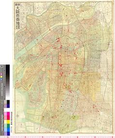
最新大阪市街地図
国際日本文化研究センター
SODA Collection: Pictorial and Miscellaneous Materials
最新大阪市街地図
国際日本文化研究センター
SODA Collection: Pictorial and Miscellaneous Materials
最新大阪市街地図
国際日本文化研究センター
SODA Collection: Pictorial and Miscellaneous Materials

最新佐賀市内地図 附佐賀市商工案内
Saga Prefectual Library
IIIF Discovery in Japan
佐賀市街地図(表)
Saga Prefectual Library
Saga Prefectural Library Database
佐賀市街地図(裏)
Saga Prefectual Library
Saga Prefectural Library Database
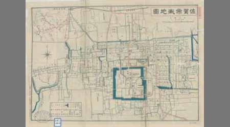
佐賀市街全図 最新実測番地入(表)
Saga Prefectual Library
IIIF Discovery in Japan
満洲開拓農民入植図 : 満洲開拓農民入植図
Iwase Bunko Libray
ADEAC: A System of Digitalization and Exhibition for Archive Collections
Tajimanokunizu
Geospatial Information Authority of Japan
FishPix
City map, central Tokyo. October 1947 / prepared under direction of the chief engineer, GHQ, FEC, byt the 64...
Yale University Library
Yale University Library Digital Collections

Map of Kyoto and vicinity
Stanford University Libraries
Stanford Libraries SearchWorks

Japan cities and towns : (shi and machi)
Yale University Library
Yale University Library Digital Collections

Kawagoe, Japan, Saitama-ken, Honshu
Stanford University Libraries
Stanford Libraries SearchWorks
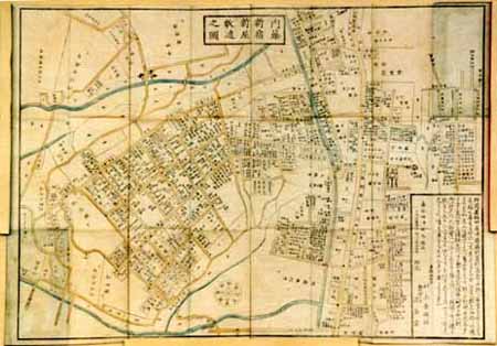
東照神君開運城跡浜松鉄城閣及市街略図
Hamamatsu City Central Library
ADEAC: A System of Digitalization and Exhibition for Archive Collections
![[弘化改正大坂細見図]](https://lapis.nichibun.ac.jp/image?did=6&pic=2&fid=10-68_01_01.jpg)
[弘化改正大坂細見図]
国際日本文化研究センター
SODA Collection: Pictorial and Miscellaneous Materials

Japan : railroads and railroad facilities
Yale University Library
Yale University Library Digital Collections
改正 内藤新宿新屋鋪代々木辺図 全
Geospatial Information Authority of Japan
FishPix
Bizennokunizu
Geospatial Information Authority of Japan
FishPix

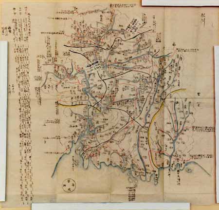
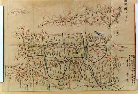
光法村字四本柳全図
Saga Prefectual Library
IIIF Discovery in Japan
![Hailaerh fukin zu [cartographic material]](https://stacks.stanford.edu/image/iiif/nc103dh1915%2Fnc103dh1915_00_0001/full/!200,200/0/default.jpg)
Hailaerh fukin zu [cartographic material]
Stanford University Libraries
Stanford Libraries SearchWorks
City map, central Tokyo. December 1946 / prepared under direction of the chief engineer, general headquarter...
Yale University Library
Yale University Library Digital Collections
最新佐賀市内地図 附佐賀市商工案内
Saga Prefectual Library
IIIF Discovery in Japan
Last Updated: 2020-04-16
Uploaded: 2021-07-27