

藤津郡七浦郷図古枝邑、中尾村
Saga Prefectual Library
Saga Prefectural Library Database
藤津郡嬉野郷上不動山邑図
Saga Prefectual Library
Saga Prefectural Library Database

藤津郡嬉野郷上不動山邑図
Saga Prefectual Library
IIIF Discovery in Japan

松浦郡山代郷立岩邑
Saga Prefectual Library
IIIF Discovery in Japan
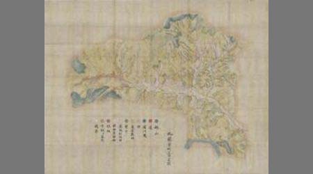
藤津郡塩田郷冬野邑図
Saga Prefectual Library
Saga Prefectural Library Database

藤津郡塩田郷冬野邑図
Saga Prefectual Library
IIIF Discovery in Japan
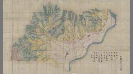
藤津郡嬉野郷湯野田村邑図
Saga Prefectual Library
Saga Prefectural Library Database
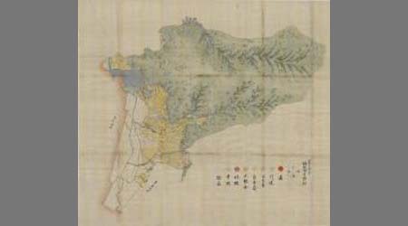
藤津郡能古見郷浅浦村図
Saga Prefectual Library
Saga Prefectural Library Database

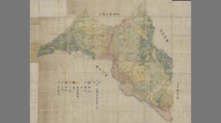
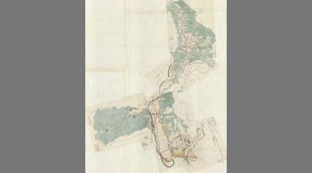
杵島郡并藤津郡武雄郷図
Saga Prefectual Library
IIIF Discovery in Japan
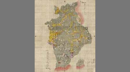
杵島郡并藤津郡武雄郷図
Saga Prefectual Library
Saga Prefectural Library Database
藤津郡塩田郷美濃村図
Saga Prefectual Library
Saga Prefectural Library Database
藤津郡塩田郷鍋埜邨図
Saga Prefectual Library
Saga Prefectural Library Database

藤津郡塩田郷鍋埜邨図
Saga Prefectual Library
IIIF Discovery in Japan

藤津郡塩田郷美濃村図
Saga Prefectual Library
IIIF Discovery in Japan
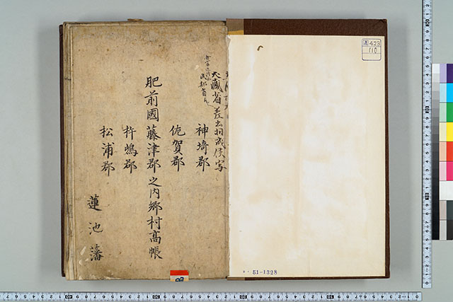
肥前國神埼郡佐嘉郡藤津郡杵嶋郡松浦郡之内郷村高帳
Saga Prefectual Library
Saga Prefectural Library Database

藤津郡能古見郷三河内村
Saga Prefectual Library
IIIF Discovery in Japan

延宝五年藤津郡水無并山浦物成帳
Fukuoka City Museum
Fukuoka City Museum Collection Database
松浦郡山代郷武川内村
Saga Prefectual Library
Saga Prefectural Library Database

松浦郡山代郷武川内村
Saga Prefectual Library
IIIF Discovery in Japan
松浦郡伊万里郷伊万里津他
Saga Prefectual Library
Saga Prefectural Library Database
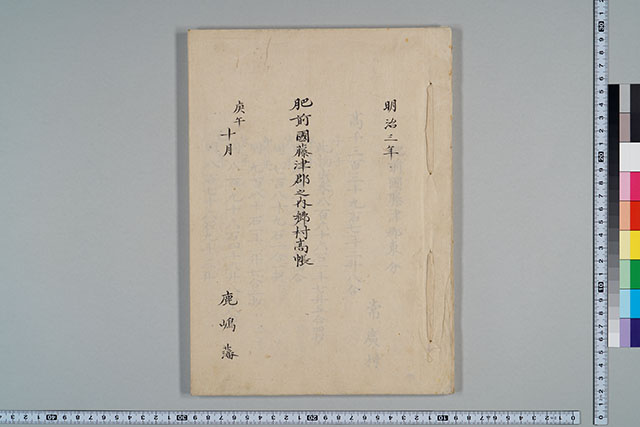
肥前國藤津郡之内郷村高帳
Saga Prefectual Library
Saga Prefectural Library Database

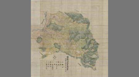
藤津郡村図
Saga Prefectual Library
IIIF Discovery in Japan
藤津郡村図
Saga Prefectual Library
Saga Prefectural Library Database

藤津郡村図
Saga Prefectual Library
IIIF Discovery in Japan

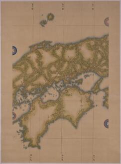
四国淡州沿海地図
Kyoto University Library
IIIF Discovery in Japan

神埼郡城原川内図
Saga Prefectual Library
IIIF Discovery in Japan

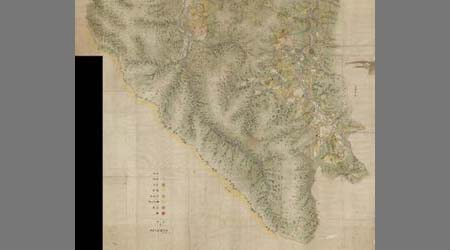
杵島郡塩田郷牛間田村図
Saga Prefectual Library
IIIF Discovery in Japan
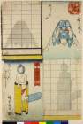
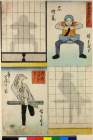
「即興かげぼし尽し」 「ふじの山」「らんかんぎぼし」
British Museum
ARC Ukiyo-e Portal Database

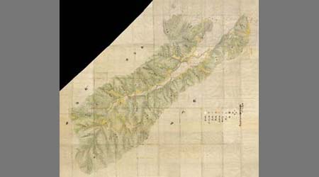
松浦郡山代郷大成木村図
Saga Prefectual Library
IIIF Discovery in Japan
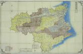
徳島県明細全図
Tokushima Prefectural Library
ADEAC: A System of Digitalization and Exhibition for Archive Collections

小城郡村図上無津呂村
Saga Prefectual Library
IIIF Discovery in Japan

小城郡村図多久原村
Saga Prefectual Library
IIIF Discovery in Japan
Map of Japan (Medium-Sized Map)
Tokyo National Museum
Integrated Collections Database of the National Museums, Japan
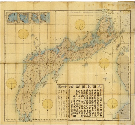
Dainihonenkairyakuzu
Geospatial Information Authority of Japan
FishPix
![能登国[北陸道図]](https://rmda.kulib.kyoto-u.ac.jp/iiif/RB00020037/RB00020037_00001_0.ptif/full/200,/0/default.jpg)
能登国[北陸道図]
Kyoto University Library
IIIF Discovery in Japan
「即興蔭ぼし尽し」 「石燈篭」「鷹にとまり木」
British Museum
ARC Ukiyo-e Portal Database

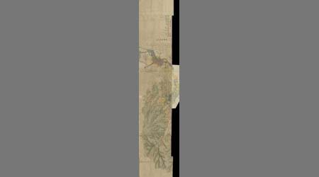
川副東郷嘉与丁村
Saga Prefectual Library
IIIF Discovery in Japan
Last Updated: 2020-04-16
Uploaded: 2021-07-27