


A Map of the East-Indies and the Adjacent Countries; with the Settlements, Factories and Territori...

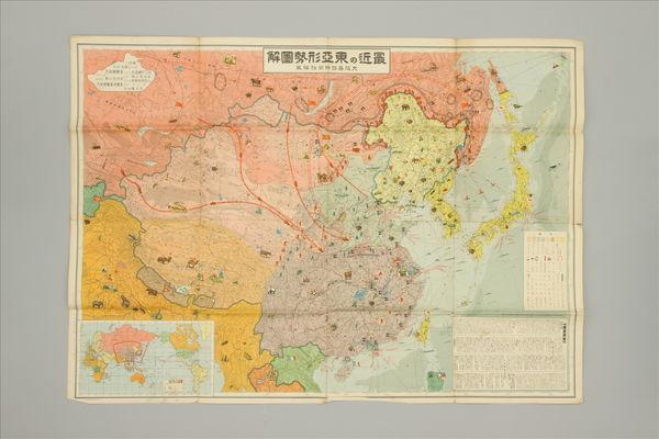
北支事変方面概見図

The Romon Empire under Trajan A.D.117
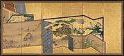
Screens within Screens

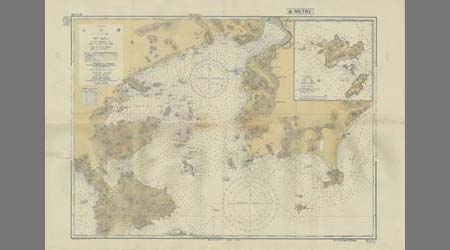
Tabula Indiae Orientalis et Regnorum Adjacentium J. Van Braam et G. onder de Linden . .

hanging scroll; painting
A new map of the empires, states, provinces &c of Asia : including also the Turkish & Russian dominions in Europe & New Holland / compiled from the most authentic observations by Robert Wilkinson ; Walsh script. ; W. Palmer sculpt

Karta Aziatskoi Rossii i smezhnykhi s neiu vladenii : S ukazanem puti sldovaniia Gosudaria Imperat...

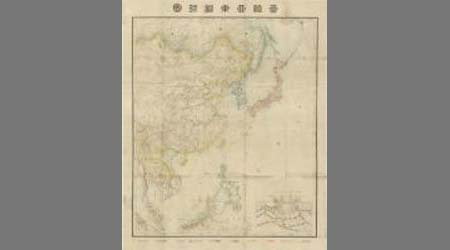
1904 war map of Russia and the continent of Asia

Asia Noviter Delineata

Album leaf

実測群馬・栃木県交通地図

「十二ケ月の内」 「七月 七夕」

中支方面概見圖

Baireikachougafu
![[ブッツゲル歴史地図1815-1866]](https://rmda.kulib.kyoto-u.ac.jp/iiif/RB00023936/RB00023936_00001_0.ptif/full/200,/0/default.jpg)
[ブッツゲル歴史地図1815-1866]

「末広五十三次」 「亀山」

「末広五十三次」 「浜松」

L'Empire de la Chine avec les isles du Japon. A Paris, ches Lattre, rue St. Jacq. (ca. 1800)

General map of China and adjacent regions, showing treaty ports and railways
Yoshiwara
The Silver World (Gin sekai)
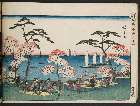
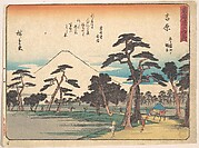
「東都名所」 「御殿山遊興」

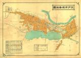
Tōkyō shigai zenzu
Last Updated: 2020-04-16
Uploaded: 2021-07-27