


Nova Totius Terrarum Orbis Geographica Ac Hydrographica Tabula

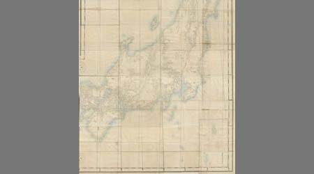
東亜現勢地図

General map of China and adjacent regions, showing treaty ports and railways

A Chart of the Eastermost part of the East Indies and China from Cape Comarin to Japan with the Ad...

Tōkyō shigai zenzu

Tabula Indiae Orientalis et Regnorum Adjacentium J. Van Braam et G. onder de Linden . .

An Improved Map of the United States By Shelton & Kensett

Map of the Empire of China and Japan. J.W. del. (engraved by) Stockley, Sc London, James Wyld, Cha...

L'Empire de la Chine avec les isles du Japon. A Paris, ches Lattre, rue St. Jacq. (ca. 1800)

India Orientalis . . . 1600
![Carte De L'Empire De La Chine . . . An XII [Shows Formosa]](https://stacks.stanford.edu/image/iiif/qv486bn8087%2F18739/full/!200,200/0/default.jpg)
Carte De L'Empire De La Chine . . . An XII [Shows Formosa]

Magnae Tartariae Magni Mogolis Imperii Iaponiae et Chinae Nova Descriptio

Carte Des Indes et de la Chine Dressee sur plusieurs Relations particulieres Rectifees par quelque...
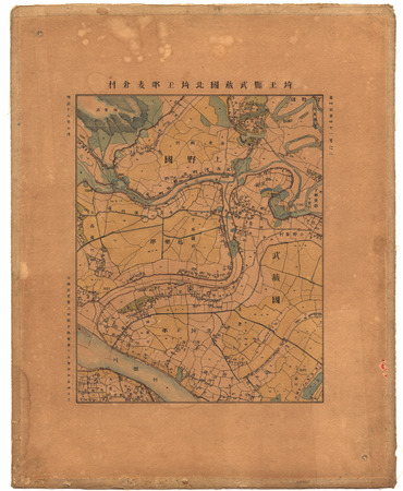
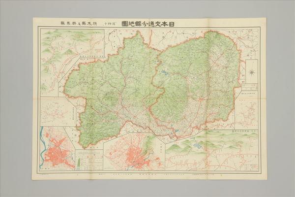
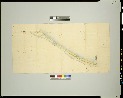
埼玉縣武蔵國北埼玉郡麦倉村
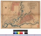
旭川市全図 : 旭川市全図

A New Map of India & China From the latest Observations

Mapa De La America Septentl. Asia Orientale Y Mar Del Sud Intermedio Formado sobre las Memorias ma...

Iaponia regnum

Carte de L'Asie selon le auteurs Anciens enrichie de Remarques Historiques sur les changemens qui ...

Iaponiae nova descriptio
De oudejaars-bowl

「あふぎや内 にほてる」「なミぢ」「あふミ」

the Kingdome of China newly augmented by I.S. 1626

India Orientalis . . . 1600
Last Updated: 2025-07-08T16:21:22
Uploaded: 2025-07-09