
Wood shoot of Myoga Zingiber. Myoga shoots are considered a great delicacy inn Japan but over indu...
- Owner Organization
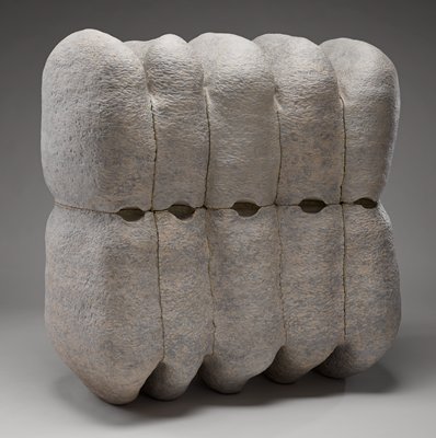
As they Gather, they Separate
Minneapolis Institute of Arts
Minneapolis Institute of Art API
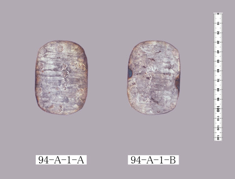
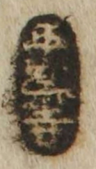
![[歴民カード_考古] 墨書礫](https://khirin-i.rekihaku.ac.jp/iiif/nmjh_rekimin_a/22747038_02.tif/full/200,/0/default.jpg)
[歴民カード_考古] 墨書礫
National Museum of Japanese History
IIIF Discovery in Japan
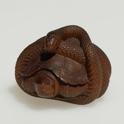
Snake curled around a turtle
Minneapolis Institute of Arts
Minneapolis Institute of Art API
Vase
Metropolitan Museum of Art
The Metropolitan Museum of Art Open Access CSV

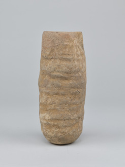
Abalone
Náprstek Museum
Database of Japanese Art in Overseas Collections
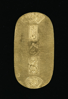
Keicho Koban, Gold coin
Tokyo National Museum
Integrated Collections Database of the National Museums, Japan
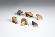
Isedotai Stone Circles: Mushroom-shaped clay objects
JOMON ARCHIVES; Digital Archives of the Jomon Prehistoric Sites in Northern Japan
JOMON ARCHIVES; Digital Archives of the Jomon Prehistoric Sites in Northern Japan
秋田一両銀判
Faculty of Economics, University of Tokyo
UTokyo Academic Archives Portal
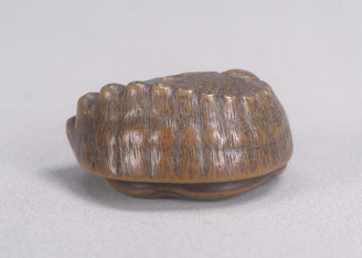
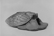
Toggle (Netsuke) Shaped Like an Abalone
Tokyo National Museum
Integrated Collections Database of the National Museums, Japan
Sutra Case
Tokyo National Museum
Integrated Collections Database of the National Museums, Japan

adze
British Museum
British Museum Collection
Album of Shells
Tokyo National Museum
Integrated Collections Database of the National Museums, Japan
平楽寺
National Institute of Japanese Literature
Collectors'Seals Database

arrow-head
British Museum
British Museum Collection

dance-mask
British Museum
British Museum Collection

netsuke
British Museum
British Museum Collection

戯印銀
Faculty of Economics, University of Tokyo
UTokyo Academic Archives Portal
Last Updated:
Uploaded: 2021-07-27