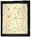
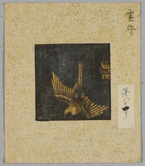
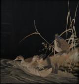


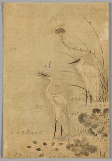


禽虫之図
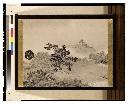
Japanse schildering van huis in sneeuwlandschap

L'Empire de la Chine avec les isles du Japon. A Paris, ches Lattre, rue St. Jacq. (ca. 1800)
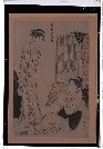
「風俗東之錦」
Edomeishoshijuuhakkei

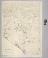
下志津原演習場
Pas-caert van't Oostelyckste deel van Oost Indien : met alle de Eylanden daer onder gelegen, van Cabo Comorin tot aen Japan / by Hendrick Doncker Boekverkooper en Graadbooghmaacker Inde Nieuwbrughsteegh

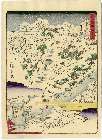
冨士山東口須走(登山案内図)

「西国三十三所順拝地図」
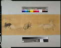
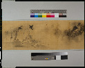
耕作図屏風
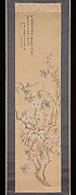
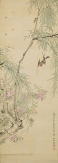
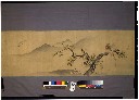
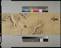
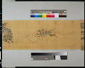
Red and White Peach Blossoms
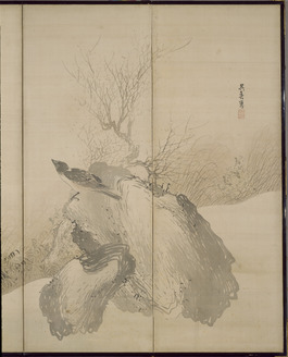
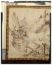
山水図小襖
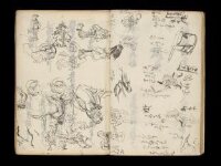
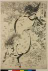
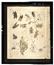
Kuniyoshi's preparatory drawings, no.39

Hyakumanbun no ichi Nanpō kōkūzu

Empire of Japan. (with) Nagasaki Harbour. Engraved by J. & C. Walker. Published under the superint...

Terza Tavola (China, Southeast Asia, Philippines and Japan)

Kita Karafuto niman-gosenbun no ichizu

A pictorial map : Victory in the Pacific Designed and published by Ernest Dudley Chase of Winchest...
L'empire de la Chine : d'après l'atlas Chinois, avec les isles du Japon / par M. Bonne, Membre de la Societʹe Litteraire Militre. Ingenieur Gʹeographe &c

「大仏耳塚」

Partie du Japon. Asie no. 75. (Dresse par Ph. Vandermaelen, lithographie par H Ode. Deuxieme parti...
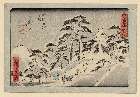
「東海道」 「四十七」「五拾三次之内」「亀山(かめやま)」
![Indo Hyakumanbunnoichi Zu Tōbu Shūiki [cartographic material]](https://stacks.stanford.edu/image/iiif/wr290sd1084%2Fwr290sd1084_00_0001/full/!200,200/0/default.jpg)
Indo Hyakumanbunnoichi Zu Tōbu Shūiki [cartographic material]
習志野演習場
Last Updated: 2019-12-31
Uploaded: 2023-04-03