

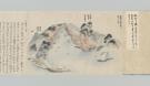
![[満州人物略図]](https://colbase.nich.go.jp/media/tnm/P-1141/image/slideshow_s/P-1141_E0015298.jpg)

![房州越の村[イリヤマサン]](http://base1.nijl.ac.jp/~collectors_seal/0040254.jpg)


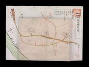

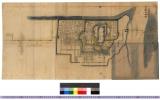
「玉川上水絵図」

「西国三十三所順拝地図」

〔神道修成派東口登山講 休伯(ママ)所定宿引札〕

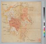
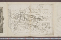
「上州草津温泉之全図」
Laurie and Whittle's new chart of the Indian and Pacific Oceans between the Cape of Good Hope, New Holland and Japan : comprehending New Zealand, New Caledonia, New Britain, New Ireland, New Guinea &c., Louisiade and New Georgia; also The Pelew, New Caroline, Ladrone and Philippine Islands &c. with the most remarkable tracks of the English, Spanish, French and Dutch navigators and chiefly the track of the Walpole, EastIndiaman, Captn. Thos. Butler, 1794 from the Cape of Good Hope to Van Diemen's Land and from thence to China, and the track of the Royal Admiral Captn. Henr. Bond in 1792 and 93 from the Cape to Port Jackson and China
Pas-caert van't Oostelyckste deel van Oost Indien : met alle de Eylanden daer onder gelegen, van Cabo Comorin tot aen Japan / by Hendrick Doncker Boekverkooper en Graadbooghmaacker Inde Nieuwbrughsteegh
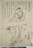
Story of Michizane Sugawara, known as Tenjin
A chart of the eastermost part of the East Indies with all the adjacent islands from Cape Comorin to Iapan / by Iohn Seller, Hydrographer to the King

「武州金沢擲筆山地蔵院能見堂八景之画図」
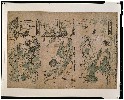
「当世葉うた合」

「上州草津温泉之図」

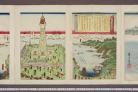
「江戸大地震火災の図」

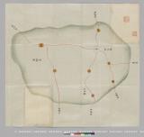
「下野国那須郡那須湯本図」

「安政己未歳九月十五日神田大明神御祭番附」

「御猪狩小金原御場所図」
Nieuwe wassende graet kaert van Oost Indien van d. C. d Bono Esperanca tot t'Lant Eso / gedruckt by I. Robyn met Privilege
「両国涼見三幅対」

sanninwakashuuhitorigonpachi

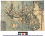
「豊前国羅漢寺絵図」

「上州草津温泉之全図」
A new chart of the Indian and Pacific Oceans between the Cape of Good Hope, New Holland and Japan : comprehending New Zealand, New Caledonia, New Britain, New Ireland, New Guinea &c., also the New Caroline, Ladrone and Philippine Islands : with the tracks of the English, French, Spanish and Dutch discoverers

「相州大山之絵図」

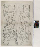
「下野国塩谷郡塩原温泉之図」

Yuushimeimeidenyuasagosuke
Last Updated: 2019-07-07
Uploaded: 2023-04-03