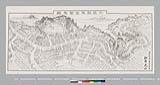


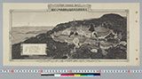
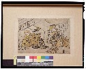
![[ラサ鳥瞰図]](https://da.library.ryukoku.ac.jp/images/middle/11/110031.jpg)


豊橋市街全図 5000分の1 明治四十年十一月廿三日発行 複製

「東叡山焼失略図」

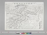
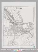
酒田市最新明細地図

「高雄山全図」

「大谷目鏡橋之景」

Kanyō isei Kansui ugan chiku
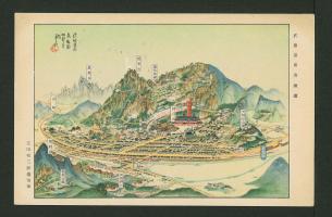
西茨城郡北那珂村字富谷 富谷觀音
Ookurakyou

Southwest Japan (Kyūshū, Shikoku, and southwest Honshū), cotton spinning, silk and rayon production

「机山」
Kabukinohanasugatanogentou

「富嶽三十六景」 「神奈川沖浪裏」

「四国第五番阿波国五百羅漢地蔵寺之略図」
Kabukinohanasugatanogentou
絵草紙
Kabukinohanasugatanogentou
![Kure [cartographic material] : plan of port and naval establishments](https://stacks.stanford.edu/image/iiif/rk636yd7844%2Frk636yd7844_0001/full/!200,200/0/default.jpg)
Kure [cartographic material] : plan of port and naval establishments

、とらのまき
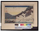
「木曽海道六拾九次之内」 「二拾六」「望月」
Kyoutomeishonouchi
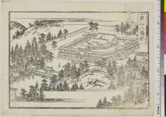
「男山八幡宮」 「都名勝 三拾景 初編」
![Kōbe [cartographic material] : municipal water supply, distribution](https://stacks.stanford.edu/image/iiif/yk027jw4267%2Fyk027jw4267_00_0001/full/!200,200/0/default.jpg)
Kōbe [cartographic material] : municipal water supply, distribution

「洛西嵐山風景」
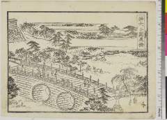
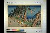
「西大谷円通橋」 「都名勝 三拾景 初編」
Last Updated: 2025-06-24T01:00:30
Uploaded: 2025-06-25