
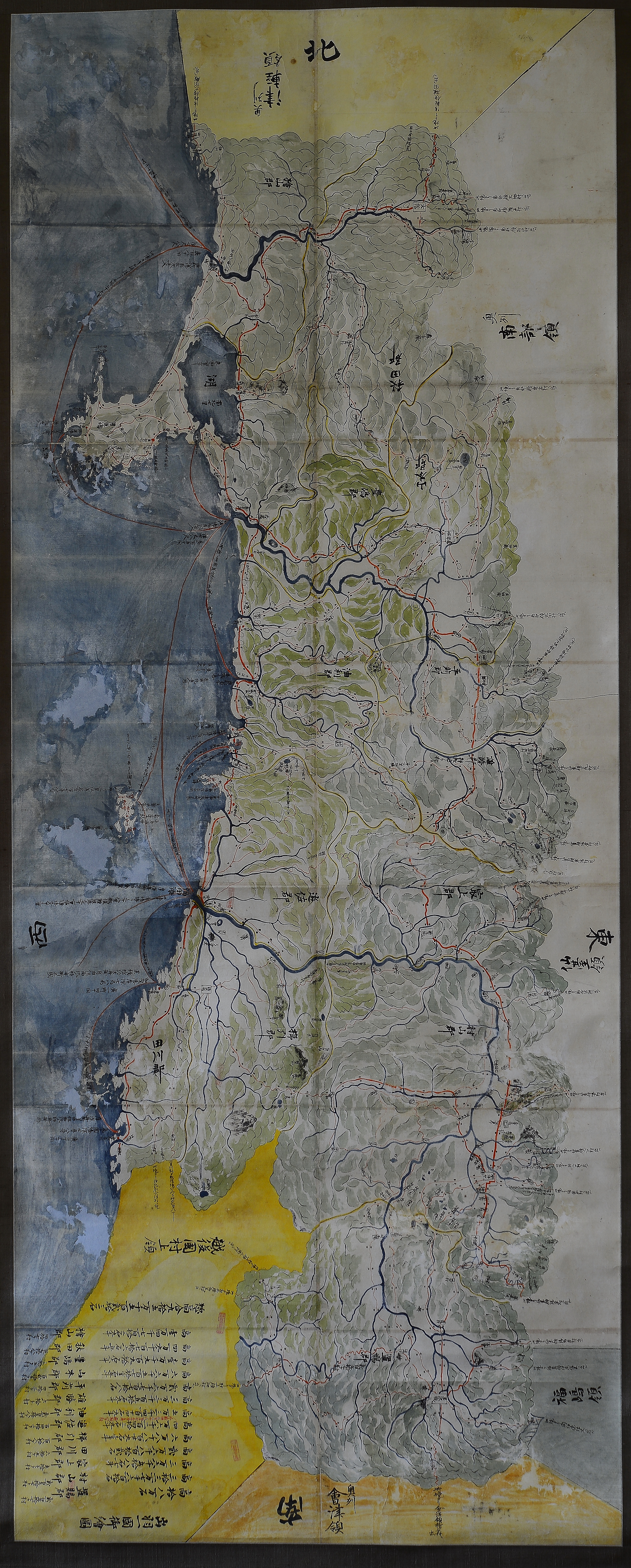
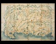
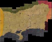
出羽一国御絵図
Yamagata Prefectural Library
Yamagata Prefectural Library Digital Library
出羽一国御絵図
ADEAC: A System of Digitalization and Exhibition for Archive Collections
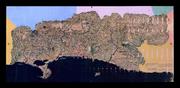
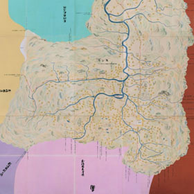
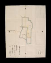
出羽国絵図
ADEAC: A System of Digitalization and Exhibition for Archive Collections
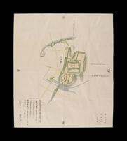
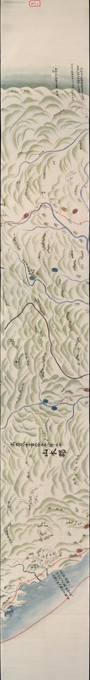
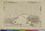
出羽国新城絵図
National Archives of Japan
National Archives Of Japan Digital Archive
出羽十一郡絵図
ADEAC: A System of Digitalization and Exhibition for Archive Collections
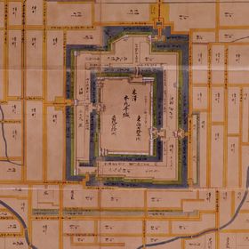
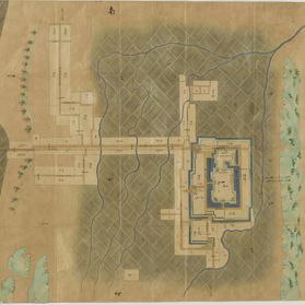
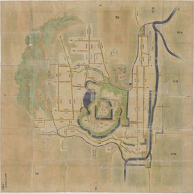
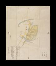
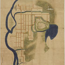
出羽国米沢城絵図
National Archives of Japan
National Archives Of Japan Digital Archive
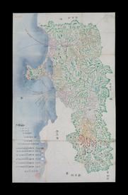
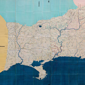
出羽国秋田領絵図
ADEAC: A System of Digitalization and Exhibition for Archive Collections
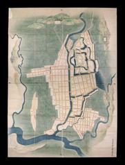
天保国絵図出羽国米沢
National Archives of Japan
National Archives Of Japan Digital Archive
天保国絵図出羽国山形
National Archives of Japan
National Archives Of Japan Digital Archive
天保国絵図出羽国秋田
National Archives of Japan
National Archives Of Japan Digital Archive
出羽国之内上山絵図
National Archives of Japan
National Archives Of Japan Digital Archive
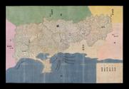
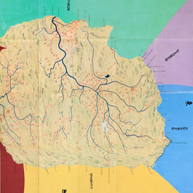
出羽六郡絵図
ADEAC: A System of Digitalization and Exhibition for Archive Collections

出羽七郡絵図
ADEAC: A System of Digitalization and Exhibition for Archive Collections
出羽国秋田領大館城絵図
ADEAC: A System of Digitalization and Exhibition for Archive Collections
出羽国秋田領横手城絵図
ADEAC: A System of Digitalization and Exhibition for Archive Collections
出羽国秋田領横手城絵図
ADEAC: A System of Digitalization and Exhibition for Archive Collections
![出羽国[中山道図]](https://rmda.kulib.kyoto-u.ac.jp/iiif/RB00020034/RB00020034_00001_0.ptif/full/200,/0/default.jpg)
出羽国[中山道図]
Kyoto University Library
IIIF Discovery in Japan

出羽国秋田城内絵図 : 秋田城図
Iwase Bunko Libray
ADEAC: A System of Digitalization and Exhibition for Archive Collections
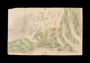
保呂羽山御絵図
ADEAC: A System of Digitalization and Exhibition for Archive Collections

出羽国七郡絵図(県C-432-1~13)
ADEAC: A System of Digitalization and Exhibition for Archive Collections
出羽国七郡絵図(県C-431-1~13)
ADEAC: A System of Digitalization and Exhibition for Archive Collections
出羽国七郡絵図(県C-433-2~12)
ADEAC: A System of Digitalization and Exhibition for Archive Collections
出羽之国油利之郡本城絵図
National Archives of Japan
National Archives Of Japan Digital Archive
出羽国秋田郡久保田城絵図
ADEAC: A System of Digitalization and Exhibition for Archive Collections

「〔地図〕」
Tokyo Metropolitan Central Library
ARC Ukiyo-e Portal Database

「〔御用屋敷地図〕」
Tokyo Metropolitan Central Library
ARC Ukiyo-e Portal Database

「出羽国置賜郡米沢小野川温泉図」
Tokyo Metropolitan Central Library
ARC Ukiyo-e Portal Database

下総国岡田郡古間木村と同郡大生郷草野并飯沼藻草論裁許条々
Joso
ADEAC: A System of Digitalization and Exhibition for Archive Collections
Aoshima shigai kinbōzu
National Library of Australia
Trove: National Library of Australia

A New Chart of The Pacific Ocean, Exhibiting The Western Coast of America, From Cape Horn To Beeri...
Stanford University Libraries
Stanford Libraries SearchWorks

A New Chart of The Pacific Ocean, Exhibiting The Western Coast of America from Cape Horn to Beerin...
Stanford University Libraries
Stanford Libraries SearchWorks

A New Chart of The Pacific Ocean, Exhibiting The Western Coast of America, From Cape Horn To Beeri...
Stanford University Libraries
Stanford Libraries SearchWorks
Pas-caert van't Oostelyckste deel van Oost Indien : met alle de Eylanden daer onder gelegen, van Cabo Comorin tot aen Japan / by Hendrick Doncker Boekverkooper en Graadbooghmaacker Inde Nieuwbrughsteegh
National Library of Australia
Trove: National Library of Australia

Tonamigunbungenezu
Imizu City Shinminato Museum
ADEAC: A System of Digitalization and Exhibition for Archive Collections

-
British Museum
ARC Ukiyo-e Portal Database

「駿州富士郡」「駿東郡三牧大絵図」
Tokyo Metropolitan Central Library
ARC Ukiyo-e Portal Database
「八島」
C. V. Starr East Asian Library, University of California, Berkeley
ARC Ukiyo-e Portal Database

Rotei benran
Chiba Prefectral Central Library
Chiba Prefectural Digital Archive

Laurie and Whittle's New Chart of the Indian and Pacific Oceans Between the Cape of Good Hope, New...
Stanford University Libraries
Stanford Libraries SearchWorks

「奉平防長御出張御固附」
Tokyo Metropolitan Central Library
ARC Ukiyo-e Portal Database
Last Updated: 2025-07-15
Uploaded: 2025-07-16