
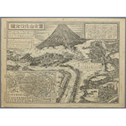
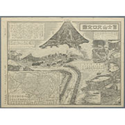


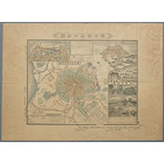
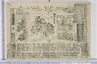
冨士登山口全図
Karte vom Japanischen Reiche, nach Original-karten und astronomischen Beobachtungen der Japaner : ...

冨士登山口全図
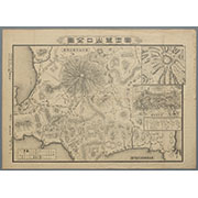
富士登山口全図

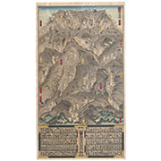
「上毛四万温泉之図」

Tabula Tartariae et majoris partis regni Chinae / edita a F. de Wit ; Lhuilier fecit
Japanse schildering van pauw op rots
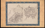
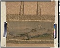
画本葛飾振
画本葛飾振

Domestic And Foreign Missions Of The Methodist Episcopal Church. (These Maps are taken from "Histo...
Domestic And Foreign Missions Of The Methodist Episcopal Church. (These Maps are taken from "Histo...

Christianographie (Ancient World)
Imperii Sinarum nova descriptio [prepared by Martino Martini]

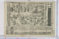
見立東下り

「江戸潮見坂」

China, Contains 15 Subject Provinces, including the 2 Islands of Hainan Formosa and the Tributary ...

Gomanbun no ichi Karafuto kūchū shashin sokuryō yōzu

Indiae Orientalis, Insularumque Adiacientium Typus. Cum Privilegio

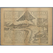
駿河国富士山表口略図

(Covers to) Picture map of China. Designed by Frank Randolph Southard. Printed in United States of...
Taiheikichuushinkoushaku
Collection of Thirty-six Kyōka Poems

Chinesisches Reich und Japan. Entw. u. gez. v. F. Handtke. Druck und Verlag von C Flemming in Glog...
Ooichizasoganoshimadai
Last Updated: 2025-07-15T01:26:19
Uploaded: 2025-07-16