


.jpg)


Carte Physique & Politique. : No. 2 : l'Europe et du Bassin de la Méditerranée
![Indo Hyakumanbunnoichi Zu Tōbu Shūiki [cartographic material]](https://stacks.stanford.edu/image/iiif/wr290sd1084%2Fwr290sd1084_00_0001/full/!200,200/0/default.jpg)
Indo Hyakumanbunnoichi Zu Tōbu Shūiki [cartographic material]

Carte générale de l'Afrique, d'après les dernières découvertes

(Composite Map of) Map of the Island of Japan, Kurile &c. with the Adjacent Coasts of the Chinese ...

Hyakumanbun no ichi Nanpō kōkūzu

Japan

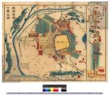
「上州草津温泉之全図」
Japanse schildering van huis in sneeuwlandschap

China and Japan

Carte Physique & Politique. : No. 16 : l'Asie

Empire Chinois et Japon
![[Carte du Kamtchatka et des Kouriles]](https://api.europeana.eu/api/v2/thumbnail-by-url.json?uri=http%3A%2F%2Fgallica.bnf.fr%2Fark%3A%2F12148%2Fbtv1b53121764c.thumbnail.jpg&type=IMAGE)
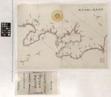
[Carte du Kamtchatka et des Kouriles]

Empire of Japan. (with) Nagasaki Harbour. Engraved by J. & C. Walker. Published under the superint...
Karte vom Japanischen Reiche, nach Original-karten und astronomischen Beobachtungen der Japaner : ...

Charts, etc
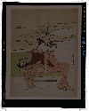
見立玄宗皇帝
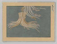
Fragment textiel

〔冨士講社諸国商人定宿引札〕

Plan de la ville et du port de Nangasaki d'après un ancien Plan Japonais réduit à moitié de l'Orig...

Chart of the Discoveries made in 1787, in the Seas of China and Tartary by the Boussole and Astrol...

[Carte de la côte de Sibérie de la Nouvelle-Zemble à l'extrémité orientale de la presqu'île de Taï...
A new map of India & China from the latest observations / by I. Senex
Dai ichi-gun no heitan : Meiji sanjūnana-nen hachi-gatsu nijūgo nichi
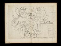
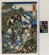
Kuniyoshi's preparatory drawings, no.39
Last Updated: 2025-07-15T01:26:19
Uploaded: 2025-07-16