


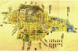


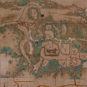
![[郡山城及城下町]](https://meta01.library.pref.nara.jp/mmd/thumbnail/300/138107/138107.jpg)


Carte Hydro-Geo-Graphique Des Indies Orientales en deca et au deladu Gange avec leur Archipel . . ...

Bakuro-chō hatsune no baba
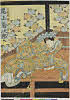
「八重垣姫 尾上菊次郞」

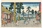
「東海道五拾三次之内」「平塚」「縄手道」

北支事変方面概見図
「(行書東海道)東海道五十三次之内」 「府中」「あへ川遠景」

東亜現勢地図

Ane otōto no isakai

Daifukuya no dan
「浅草花」
「品川」 「月見之図」
.jpg)
「六十余州名所図会」 「因幡 加路小山」
.jpg)
「名誉十八番」 「鉢之木」
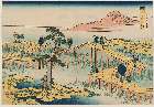
「冨士三十六景」 「武蔵越かや在」

A Chart of the Eastermost part of the East Indies and China from Cape Comarin to Japan with the Ad...

A New and Correct Chart of all the Known World Laid down according to Mercator's Projection

「乳人重の井」

A New and Correct Chart of all the Known World Laid down according to Mercator's Projection

Bunsei kaisei Oedo ōezu : zen

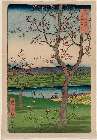
(梅に鴬)
The Silver World
「諸国名橋奇覧」 「三河の八つ橋の古図」

Yūgao dana nōryō zu

Meiji Kaisei Osaka Saikan Zenzu. [Plan détaillé revisé de la ville d'osaka à l'ère meiji / gravé p...
Last Updated: 2025-07-15T01:26:19
Uploaded: 2025-07-16