


![[Japan] (Published in Manila!)](https://stacks.stanford.edu/image/iiif/gv355sq3352%2F37869hs/full/!200,200/0/default.jpg)
[Japan] (Published in Manila!)

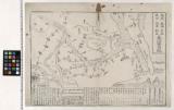
〔関東道中図〕
Yukikofujin、touryuuhachinoki

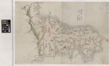
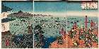
千葉県銚子港全図

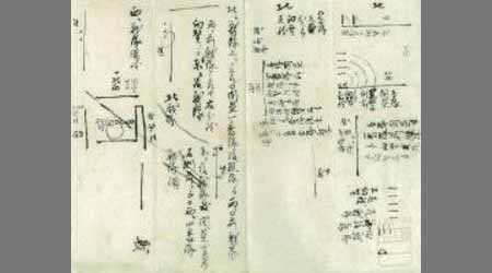
Skizze des weges von Tokio nach Yumotto (Nikko Berge) nach eigenen Aufzeichnungen / von E. Knippin...
![[Spanish Chart of the Philippines, China, Japan, Korea, Kamtchatka, Western Pacific]](https://stacks.stanford.edu/image/iiif/nk348cb2252%2F42187sh/full/!200,200/0/default.jpg)
[Spanish Chart of the Philippines, China, Japan, Korea, Kamtchatka, Western Pacific]

栗橋幸手杉戸近郊洪水之図
Dai ni-gun no heitan : Meiji sanjūnana-nen hachi-gatsu jūichi nichi

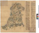
海陸御固場所附

Gonshoujiyoribessho、ikuridani、gonotanimadekirishitaezu

Carte réduite de l'océan septentrional compris entre l'Asie et l'Amérique ... Par le Sr. Bellin ..
A new & correct chart of the Indian Sea from Cabo Bonea Esperanca to Japan according to Mr. Edward Wrights projection vulgarly called Mercators chart

成田香取鹿島息栖細見絵図

Carte du Japon sous la féodalité (Les divisions de Mutsu et Dewa datent de 1868). G. Appert / Grav...

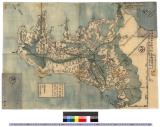
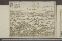
実測安房全図
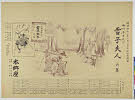
香取鹿島息栖成田阿波駒木参詣案内記

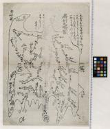
岩瀬郡之図(福島県)

A New & Accurate Chart of the Discoveries made by the late Capt. Js. Cook, and other distinguished...
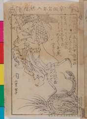
Eirishinbunzoushi tenpu 00005
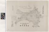
千葉県銚子港全図
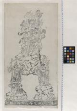
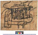
〔鹿野山神野寺板御影繪〕
小港山之図

Eirishinbunzoushi tenpu 00002
Dai ichi-gun no heitan : Meiji sanjūnana-nen hachi-gatsu nijūgo nichi
Last Updated: 2025-06-03T01:00:34
Uploaded: 2025-06-04