

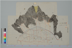
Yatsugatake kazani chishitsu chiyousa houbun
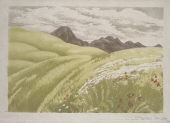
3. Mt. Tateshina in the Yatsugatake Range, Shinshu from "Japan's Famouse Mountains"

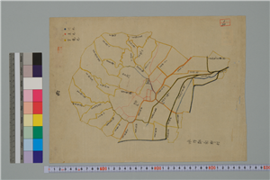
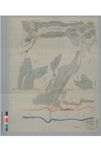
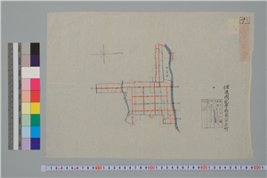
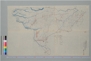
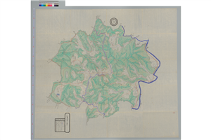
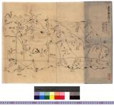
八ヶ嶽かぶせ図
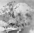
Spring at the Foot of Mt. Fuji
Tategahanamura(zu)
Minakatamura(zu)
Minamigoumura(zu)
Minamiminowamura(zu)
Minamifukashimachi(zu)
Minamihotakamura(zu)
Yasakamura(zu)
Hatchoumura(zu)
Nanto kokyou zu

Nankai ichiran zu

御嶽山麓の渓流
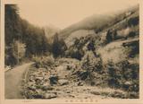
御嶽山麓の澗畔

御嶽山麓の澗谷
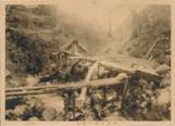
御嶽山麓の澗水
〈江州〉志津ヶ嶽古戦場之図 : 賤ヶ嶽古戦場図
「鉄ヶ嶽」
「鬼ヶ嶽」

「「鬼ヶ嶽」

Onigatake

「鬼ヶ嶽」

Yamanashiken kannai zu

Taifuu nanagou ni yoru yamanashi kenka no shuyou saigai zu

「武蔵国古聞附図」

Kaikoku zenzu

「〔御用屋敷地図〕」

「西国三十三所順拝地図」
.jpg)
toukyounishikie
Nijūgomanbun no ichi Papua-tō Sepikku-gawa ryūiki zu

「駕かき甚兵衛 坂東三津五郎」

A Correct Sea Chart of the Whole World, According to Wright's, Commonly Called Mercator's, Project...
The Life of Shakyamuni Illustrated : [volume 2]

「上州草津温泉之図」

近世名家肖像
Picture Book of Crawling Creatures (The Insect Book)
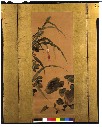
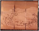
四季草花図押絵貼屏風
[gatenja

Laurie and Whittle's New Chart of the Indian and Pacific Oceans Between the Cape of Good Hope, New...
![Russian Empire [with] Chart of the Communication Between The Archipelago And Black Sea](https://stacks.stanford.edu/image/iiif/bk956jy9388%2F18960/full/!200,200/0/default.jpg)
Russian Empire [with] Chart of the Communication Between The Archipelago And Black Sea
Nijūgomanbun no ichi Papua-tō Sepikku-gawa ryūiki zu (Sheet 1)
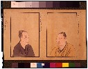
近世名家肖像

「安芸厳島神社之図」
雨雪山水図屏風

「江之島金亀山二宮細見之図」

A New Chart of The Pacific Ocean, Exhibiting The Western Coast of America from Cape Horn to Beerin...
Uploaded: 2026-02-25