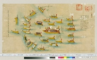
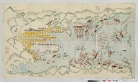
九鬼公釜山海船柵之図
九鬼家盲船散図
University of Tokyo Graduate School of Arts and Sciences / College of Liberal Arts
UTokyo Academic Archives Portal

九鬼流船具之書・九鬼家艡伝授
University of Tokyo Graduate School of Arts and Sciences / College of Liberal Arts
UTokyo Academic Archives Portal

釜九十図
National Diet Library, Japan
ARC Early Japanese Book Portal Database

九鬼家船闘記
University of Tokyo Graduate School of Arts and Sciences / College of Liberal Arts
UTokyo Academic Archives Portal

九鬼家船闘記
University of Tokyo Graduate School of Arts and Sciences / College of Liberal Arts
UTokyo Academic Archives Portal

九重山之図
National Diet Library, Japan
ARC Early Japanese Book Portal Database

釜之図 2巻
National Diet Library, Japan
ARC Early Japanese Book Portal Database

銘物釜之図
National Diet Library, Japan
ARC Early Japanese Book Portal Database

三船山城跡之図
Saga Prefectual Library
IIIF Discovery in Japan
「豊嶋之図」「牙山之図」「海戦之図」
The Tsubouchi Memorial Theatre Museum, Waseda University
The database of ukiyo-e

絵葉書「釜山桟橋ト関釜連絡船」
Fukuoka City Museum
Fukuoka City Museum Collection Database

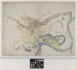
釜山府市街図
Fukuoka City Museum
Fukuoka City Museum Collection Database
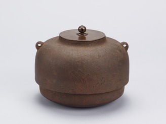
《茶之湯釜図譜》
Tokyo National Museum
Integrated Collections Database of the National Museums, Japan

岡山亜公園之図
ADEAC: A System of Digitalization and Exhibition for Archive Collections
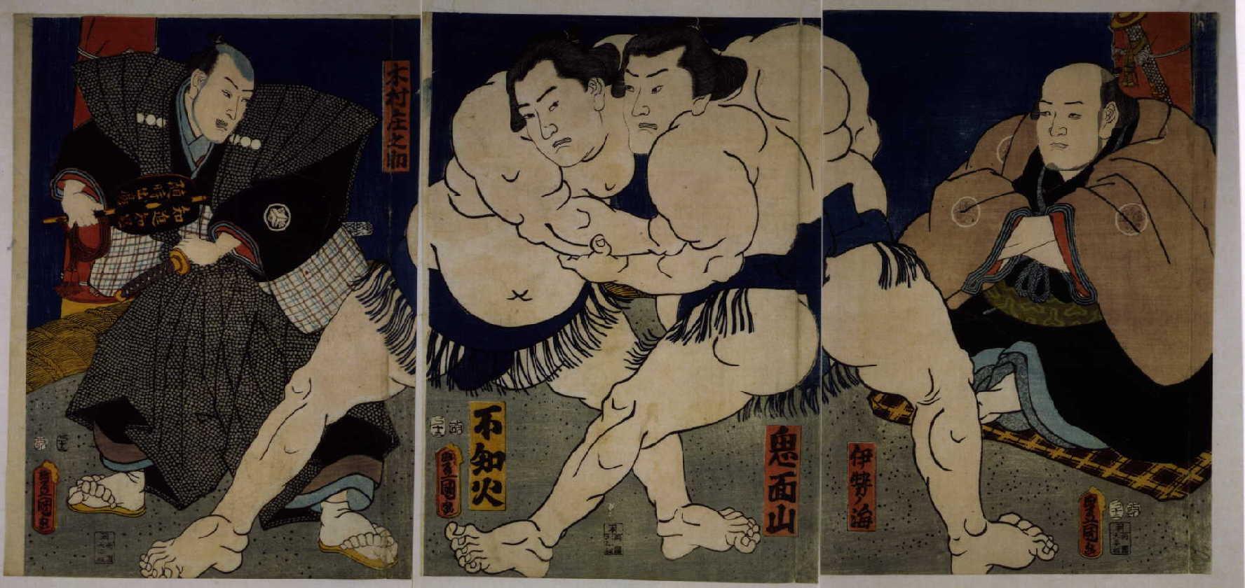
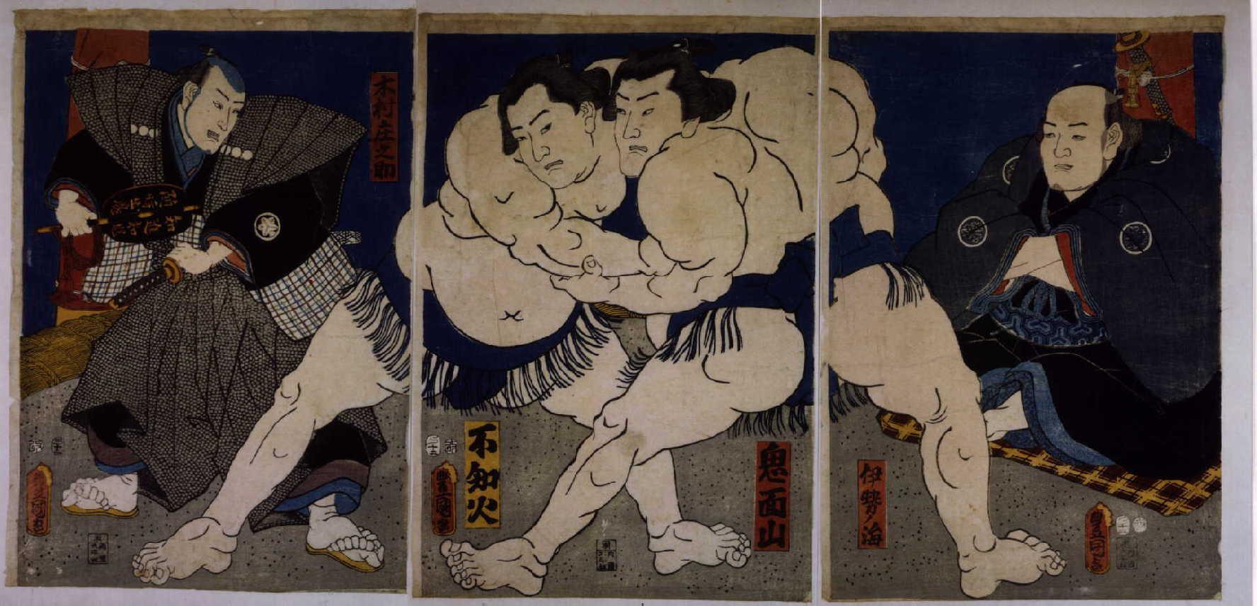
不知火鬼面山取組之図
Edo-Tokyo Museum
Tokyo Museum Collection
鬼面山不知火取組之図
Edo-Tokyo Museum
Tokyo Museum Collection

絵葉書(釜山大正公園)
Fukuoka City Museum
Fukuoka City Museum Collection Database
山水の図箆被釜
Kyushu National Museum
Integrated Collections Database of the National Museums, Japan

塀(吹抜角柵・芝離宮北側海岸木柵)立面図
Tokyo Metropolitan Central Library
Tokyo Metropolitan Library Edo-Tokyo Digital Collections

絵葉書「朝鮮の門戸釜山の勝景」釜山桟橋と関釜連絡船
Fukuoka City Museum
Fukuoka City Museum Collection Database
八弧釜「梔子摘八稜山水図釜」
Shokoji
ADEAC: A System of Digitalization and Exhibition for Archive Collections

絵葉書「釜山・松島海岸」
Fukuoka City Museum
Fukuoka City Museum Collection Database
船体之図
University of Tokyo Graduate School of Arts and Sciences / College of Liberal Arts
UTokyo Academic Archives Portal

〔黒船之図〕
Tokyo Metropolitan Central Library
Tokyo Metropolitan Library Edo-Tokyo Digital Collections
古川城廓古図
Funabashi-shi Western Library
ADEAC: A System of Digitalization and Exhibition for Archive Collections

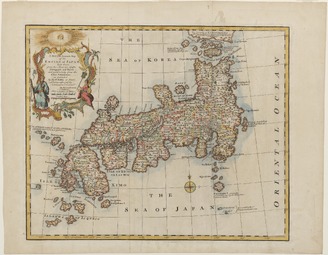
Kaart van Japan
Rijksmuseum
Rikijmuseum API
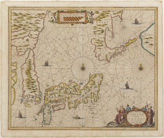
<i>New and Accurate Map of the Empire of Japan</i>
Kyushu National Museum
Integrated Collections Database of the National Museums, Japan

さかなのはんじもの
National Institute of Japanese Literature
IIIF Discovery in Japan

계묘년 12월 왜관 대관 각서
Kyoto University Library
IIIF Discovery in Japan
長崎ニテ黒船囲様之図
University of Tokyo Graduate School of Arts and Sciences / College of Liberal Arts
UTokyo Academic Archives Portal

1760年、証人鄭徳祖、筆執卞義瑞招辞
Kyoto University Library
IIIF Discovery in Japan

日本国備図
Kyoto University Library
IIIF Discovery in Japan

1756年、韓生員宅奴介男土地売買明文
Kyoto University Library
IIIF Discovery in Japan

임인년 12월 왜관 대관 각서
Kyoto University Library
IIIF Discovery in Japan
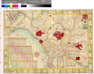
市郡變稱東亰全圖
国際日本文化研究センター
SODA Collection: Pictorial and Miscellaneous Materials
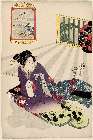
「(雪月花」 「月」「あふみや紋彦)」
Museum of Fine Arts, Boston
ARC Ukiyo-e Portal Database
<i>The New and Accurate Map of Japan, Ezo, and Adjacent Islands</i>
Kyushu National Museum
Integrated Collections Database of the National Museums, Japan
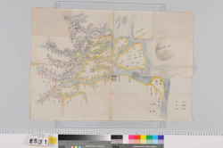
木曽川河口輪中絵図
Mie Prefectural Museum
三重県総合博物館所蔵品(人文)

Map of Edo (Ōedo dai ezu)
Philadelphia Museum of Art
Philadelphia Museum of Art collection
Last Updated:
Uploaded: 2021-07-29