Pictorial Map of Guard Stations of Edo Castle
Edo-Tokyo Museum
Tokyo Museum Collection
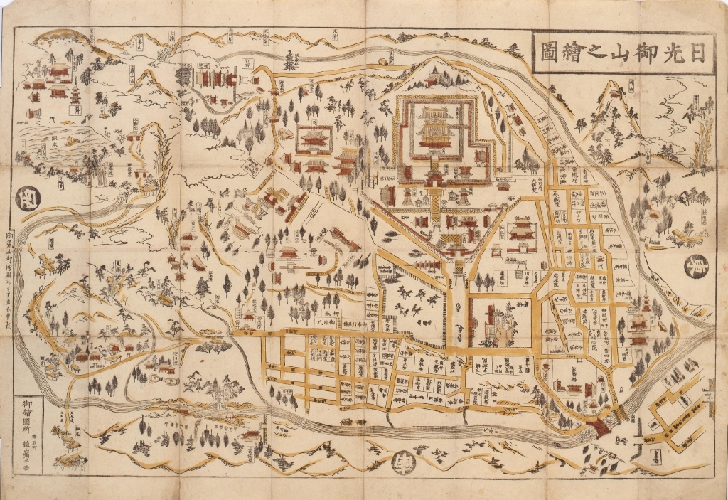
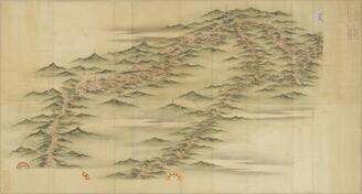
Pictorial Map of Nikko Oyama
Edo-Tokyo Museum
Tokyo Museum Collection
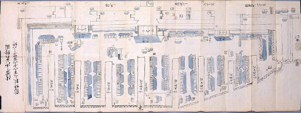
Asakusa Storehouse Pictorial Map
Edo-Tokyo Museum
Tokyo Museum Collection
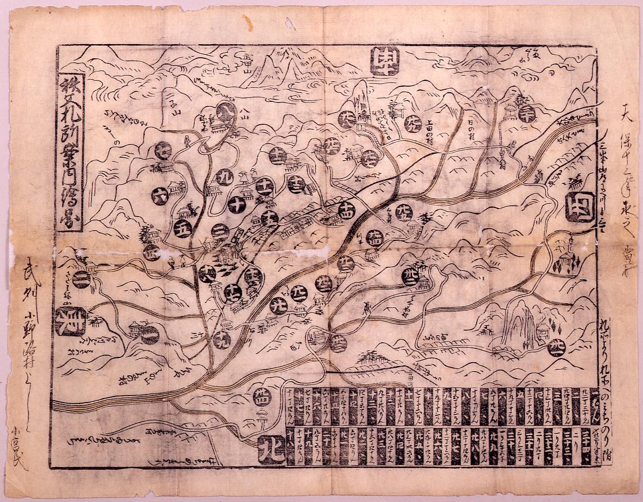
Pictorial Guide Map of Chichibu Pilgrimage Sites
Edo-Tokyo Museum
Tokyo Museum Collection
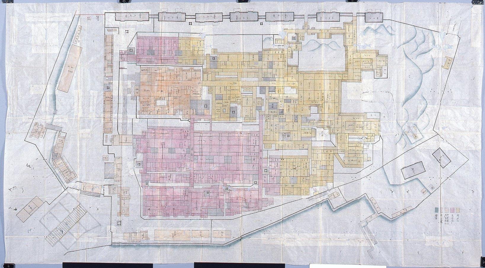
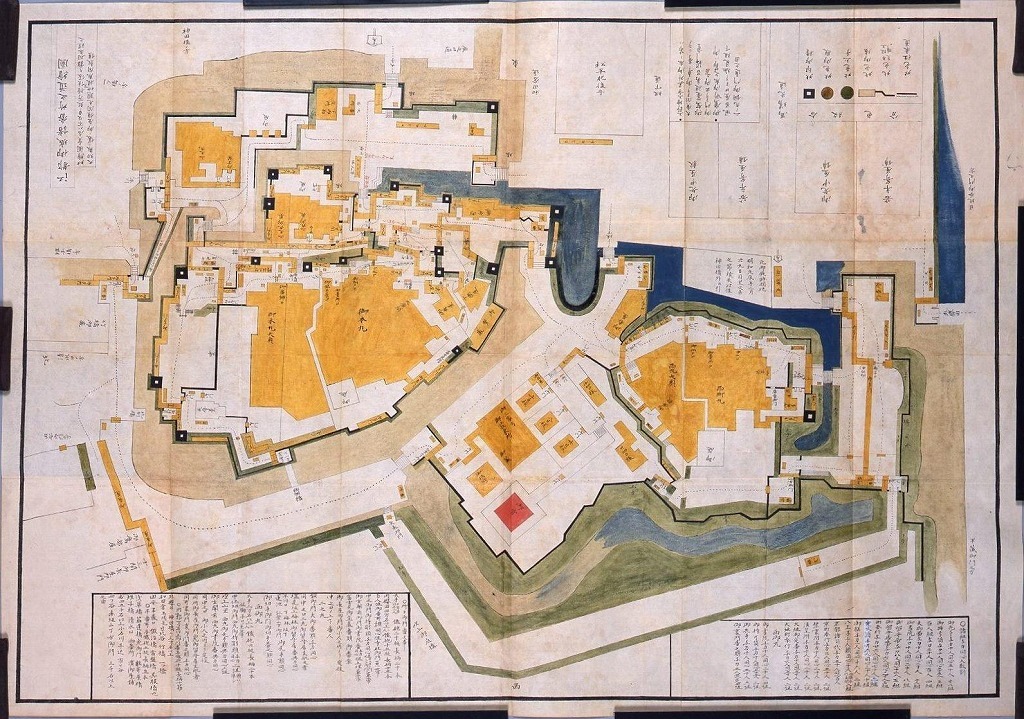
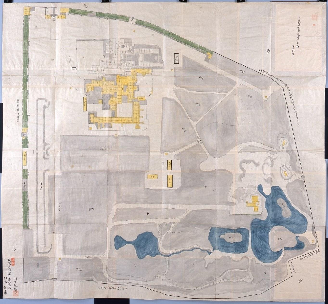
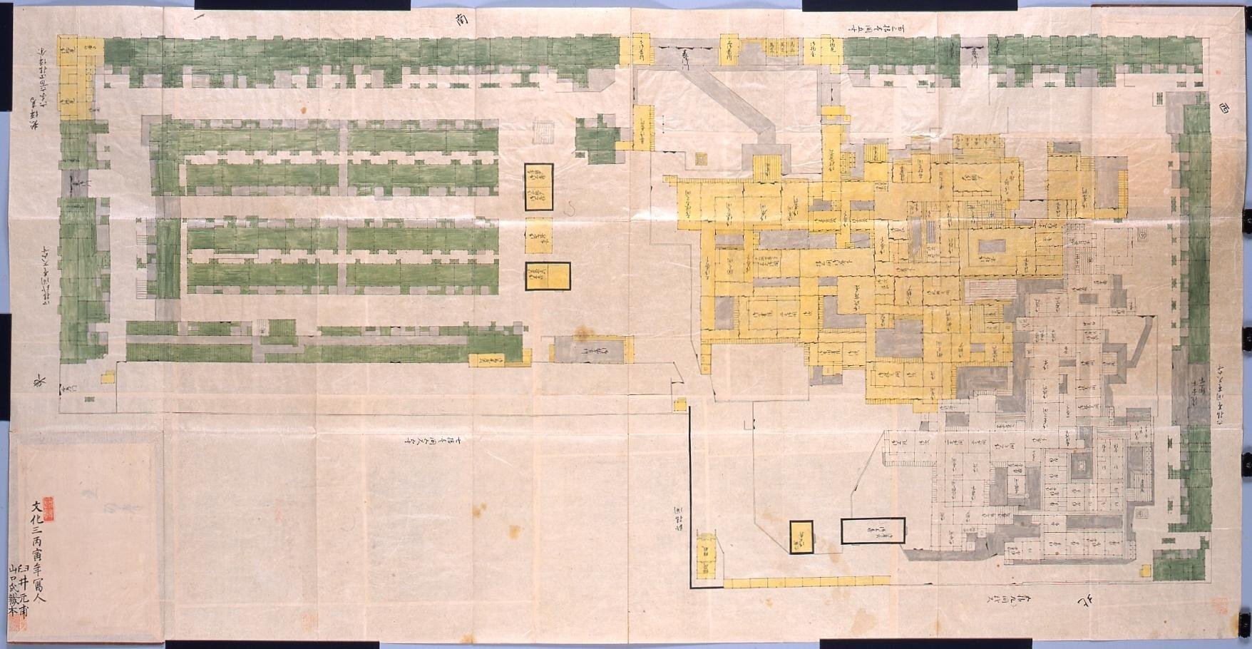
Pictorial Map of the Western Ward of Edo Castle
Edo-Tokyo Museum
Tokyo Museum Collection
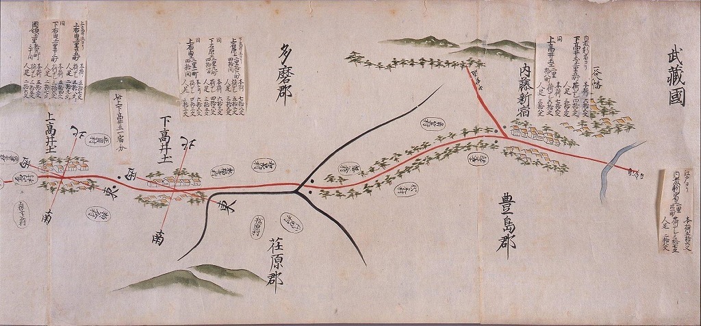
Kai Province Journey Pictorial Map
Edo-Tokyo Museum
Tokyo Museum Collection
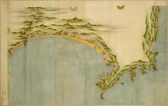
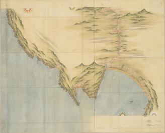
Map of Kyūshū's Coastline (1:36,000), No. 12: Makurazaki and Kushikino
Tokyo National Museum
Integrated Collections Database of the National Museums, Japan
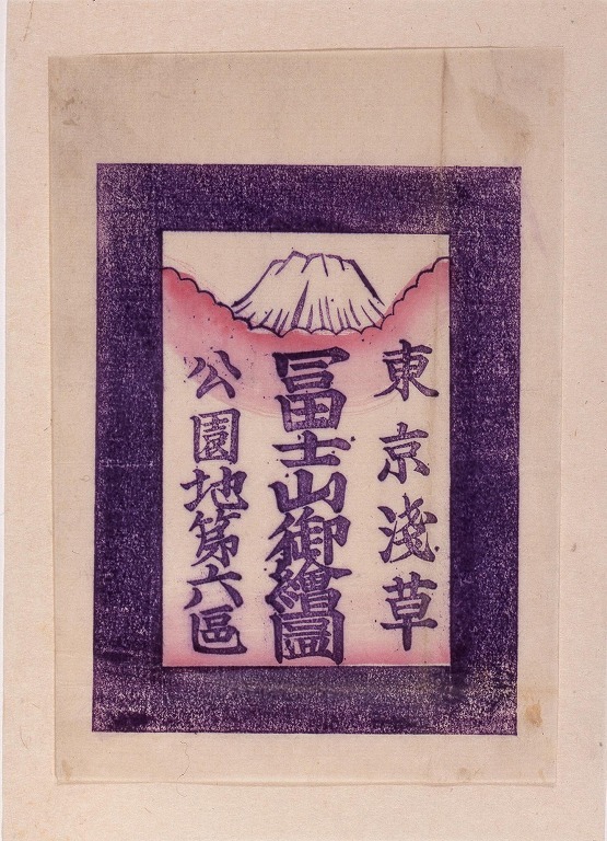
Pictorial Map of Mt. Fuji (Asakusa Park Grounds Section 6)
Edo-Tokyo Museum
Tokyo Museum Collection
Map of Kyushu (Large map) No. 15, Koshikijima
Tokyo National Museum
Integrated Collections Database of the National Museums, Japan
Map of Kyushu (Large-scale map), No. 19
Tokyo National Museum
Integrated Collections Database of the National Museums, Japan
Map of Kyūshū's Coastline (1:36,000), No. 20: Aso
Tokyo National Museum
Integrated Collections Database of the National Museums, Japan
Map of Kyūshū (Large Scale), No. 21: Bungotaketa
Tokyo National Museum
Integrated Collections Database of the National Museums, Japan
Pictorial Map of the Azabu Shimoyashiki Residence of the Nambu Clan of Morioka Domain
Edo-Tokyo Museum
Tokyo Museum Collection
Pictorial Map of the Sotosakurada Kamiyashiki Residence of the Nambu Clan of Morioka Domain
Edo-Tokyo Museum
Tokyo Museum Collection
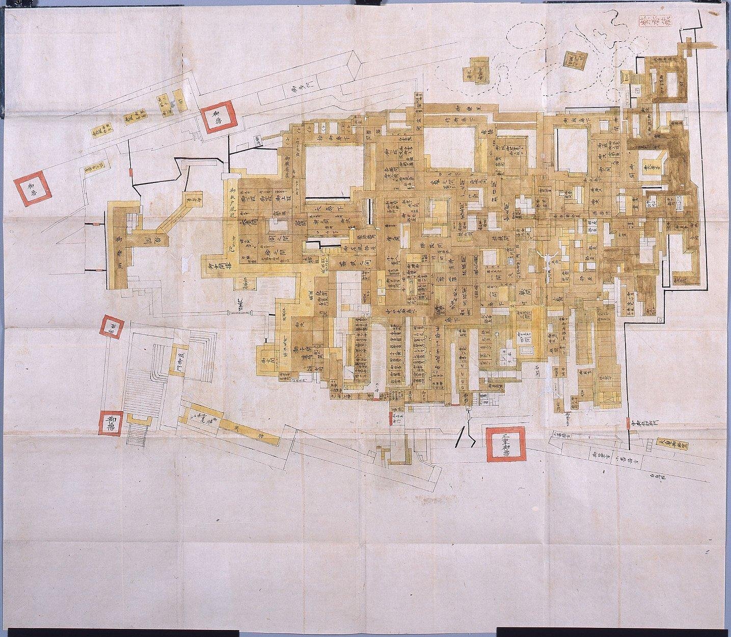
Complete Map of the Outer Section of the Honmaru Palace (of the Pictorial Map of Edo Castle)
Edo-Tokyo Museum
Tokyo Museum Collection

二十番・二十一番 切絵図
Kyoto University Library
IIIF Discovery in Japan
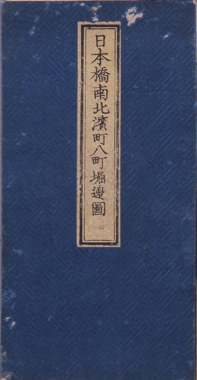
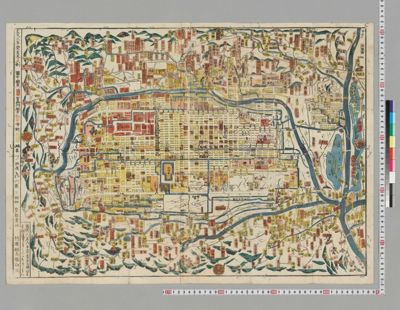
Hiranoya Edition Edo Detailed Pictorial Map: Nihombashi Namboku, Hamacho, and Hatchobori Area Map
Edo-Tokyo Museum
Tokyo Museum Collection
Map of Kyūshū (Large Scale), No. 10: Kagoshima
Tokyo National Museum
Integrated Collections Database of the National Museums, Japan
Map of Kyūshū (Large Scale), No. 2: Nakatsu
Tokyo National Museum
Integrated Collections Database of the National Museums, Japan

二十八番・二十九番 切絵図
Kyoto University Library
IIIF Discovery in Japan
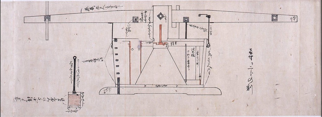
Pictorial Diagram of the Firefighting Pump (Ryudosui)
Edo-Tokyo Museum
Tokyo Museum Collection
Map of Kyushu (Large-scale map), No. 9
Tokyo National Museum
Integrated Collections Database of the National Museums, Japan
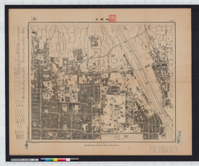
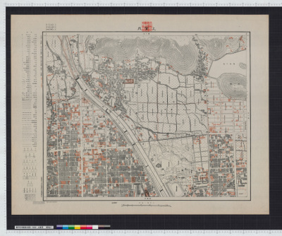
Map of municipal water system. Report No. 8i, USSBS Index Section 2
NDL Digital Collections
NDL Digital Collections

Map of Kamo Shrine
Kyoto National Museum
Integrated Collections Database of the National Museums, Japan

Kanjinbashi (1:3000 kyoutoshi toshi keikaku kihonzu)
Kyoto Institute, Library and Archives
Rekisaikan Digital archive

Kanjinbashi (1:3000 kyoutoshi toshi keikaku kihonzu)
Kyoto Institute, Library and Archives
Rekisaikan Digital archive
京絵図
Ibaraki University Library
茨城大学デジタルコレクション
Pictorial Map of the Western Ward of Edo Castle
Edo-Tokyo Museum
Tokyo Museum Collection
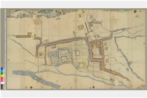
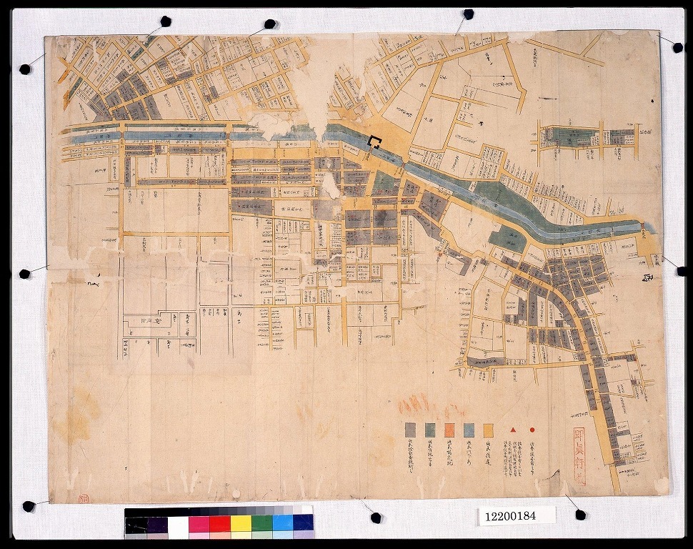
Uedajoukamachiezu
Nagano Prefectural Museum of History
Materials of Nagano Prefectural Museum of History Preserved in Shinshu Digital Commons
小石川谷中本郷繪圖
国際日本文化研究センター
SODA Collection: Pictorial and Miscellaneous Materials
小石川谷中本郷繪圖
国際日本文化研究センター
SODA Collection: Pictorial and Miscellaneous Materials
小石川谷中本郷繪圖
国際日本文化研究センター
SODA Collection: Pictorial and Miscellaneous Materials
![[江戸切絵図]](https://colbase.nich.go.jp/media/tnm/QA-4153/image/slideshow_s/QA-4153_E0075273.jpg)
[江戸切絵図]
Tokyo National Museum
Integrated Collections Database of the National Museums, Japan
Shoukokuji (1:3000 kyoutoshi toshi keikaku kihonzu)
Kyoto Institute, Library and Archives
Rekisaikan Digital archive

下谷坂本千住大橋浅草 : 寛保延享ノ頃
National Diet Library, Japan
ARC Early Japanese Book Portal Database

Fushimi (1:3000 kyoutoshi toshi keikaku kihonzu)
Kyoto Institute, Library and Archives
Rekisaikan Digital archive

Rakuchuu rakugai shubiki ezu
Kyoto Institute, Library and Archives
Rekisaikan Digital archive
Kamigamo (1:3000 kyoutoshi toshi keikaku kihonzu)
Kyoto Institute, Library and Archives
Rekisaikan Digital archive

Takeda (1:3000 kyoutoshi toshi keikaku kihonzu)
Kyoto Institute, Library and Archives
Rekisaikan Digital archive

豊後府内城図
大分市歴史資料館
city of oita official digital archive

御本丸御間内之図
Fukuoka City Museum
Fukuoka City Museum Collection Database

ネガアルバム(地図・絵図)(2)博多古地図博多風土記より
Fukuoka City Museum
Fukuoka City Museum Collection Database
Last Updated: 2021-03-27
Uploaded: 2026-03-25