
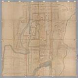


![[歴民カード_歴史] 弘前中惣屋鋪絵図](https://khirin-i.rekihaku.ac.jp/iiif/nmjh_rekimin_h/10248042_02.tif/full/200,/0/default.jpg)


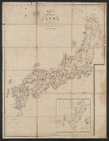
大日本國全圖

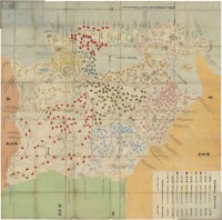
筑後川改修図

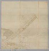
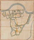
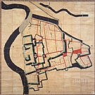
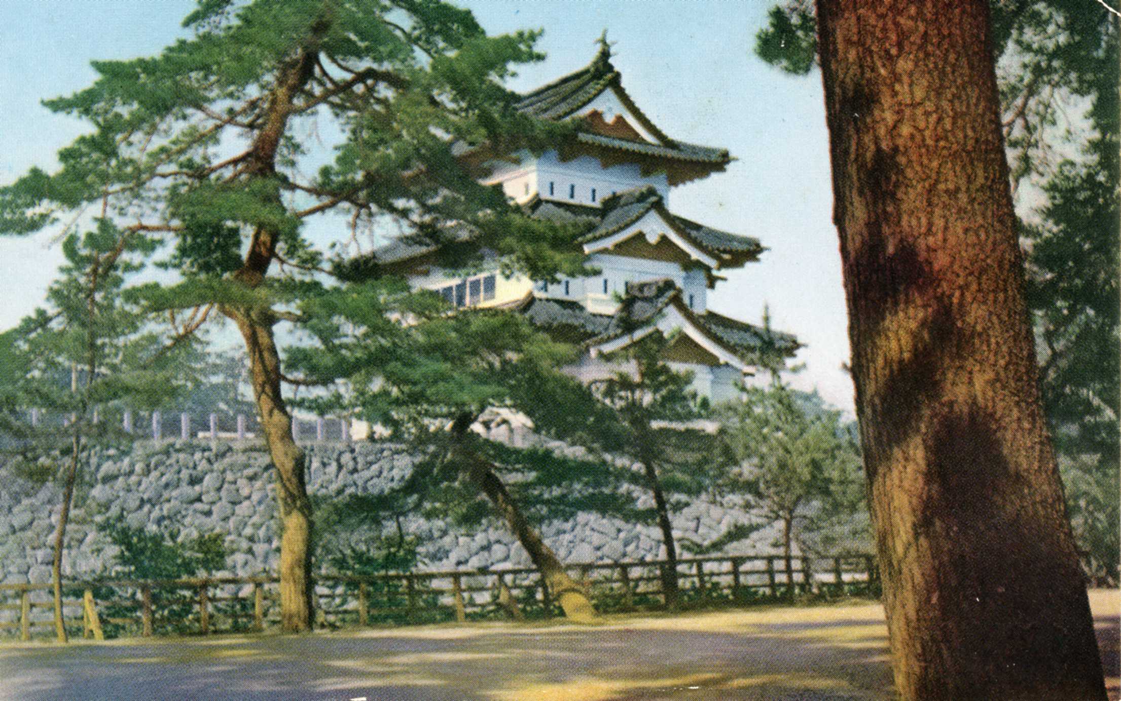
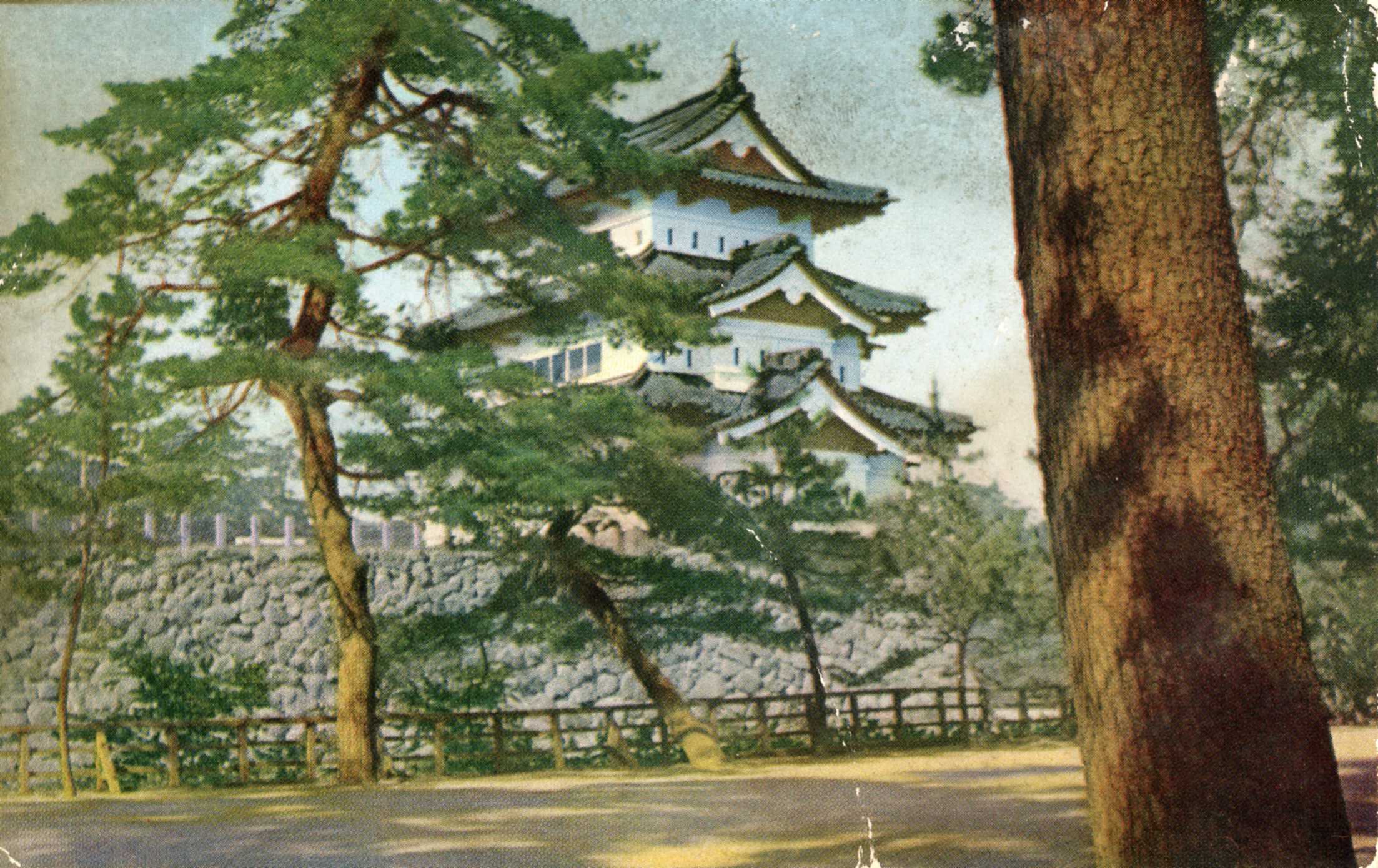
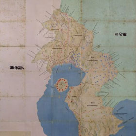
弘前御城之図

A Correct Sea Chart of the Whole World, According to Wright's, Commonly Called Mercator's, Project...
Carte de L'Empire du Japon ..

2me. Carte mste. du Royaume et des Isles dépendantes de Liéou Kiéou en Chine dessinée et envoyée à...

Carte réduite de l'Océan Oriental depuis le Cap de Bonne Esperance, jusqu'au Japon : dédiée à l'Ac...

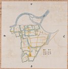
亀ヶ岡領新道図
![[3 maps of Leyte Island, Philippines, in Japanese.]](https://collections.library.yale.edu/iiif/2/15251299/full/!200,200/0/default.jpg)
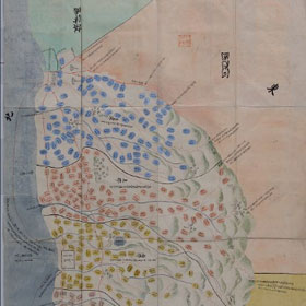
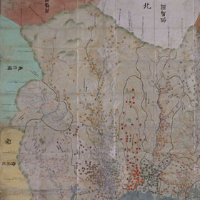
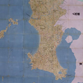
[3 maps of Leyte Island, Philippines, in Japanese.]
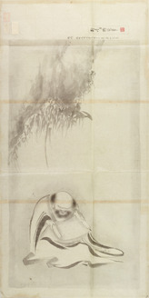
黙庵/対月図

志摩郡英虞郡波切船越両村争論地図六百分壱之図

神埼下郷下神代村

Zee-atlassen, wereldkaarten enz. >> "A new and correct outline chart intended for the use of...
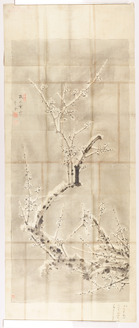
守金/梅図

A Chart of the Coast of China From Cambodia to Nanquam with Part of Japan

Kitsune no yome-iri (Object)
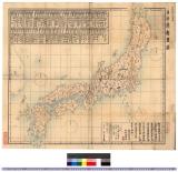
日本府県略図 : 日本府県略図

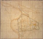
四日市港近傍町村之図

天明八申年火災前 二条御城中御本丸絵図 但六分計
![[Ile Yeso, reliée au Kamtchatka / par Jean-Baptiste d'Anville]](https://api.europeana.eu/api/v2/thumbnail-by-url.json?uri=http%3A%2F%2Fgallica.bnf.fr%2Fark%3A%2F12148%2Fbtv1b530092684.thumbnail.jpg&type=IMAGE)
[Ile Yeso, reliée au Kamtchatka / par Jean-Baptiste d'Anville]
![上野国[中山道図]](https://rmda.kulib.kyoto-u.ac.jp/iiif/RB00020031/RB00020031_00001_0.ptif/full/200,/0/default.jpg)
上野国[中山道図]

「大橋村 行事村 宮市村見取図」
瀟湘八景図屏風

Gojūmanbunnoichi tōbu papuatō heiyō chishizu
Last Updated: 2025-07-15T01:26:19
Uploaded: 2025-07-16